Tel : +63(2)-7729-8168
|
Email Us : gallery@gop.com.ph
My Account
Remember Me
Register
7 Item(s)
-
₱
1,073,800.00
A Chart of the China Sea, and Philippine Islands, with the Archipelagos of Felicia and Sooloo, shewing… …Canton and Balambangan,… composed from an original drawing, communicated by Capt. Robert Carr. and compared with the map of Pedro Murillo de Velarde, engraved at Manilla in 1734…. insets: 1) The Ports of Ylocos, on the West Coast of Luzon. 2) The Bay of Subic, on the West Coast of Luzon.
1 x
₱
780,000.00
España, Sus Monumento y Artes.... .....Cuba Puerto-Rico y Filipinas
1 x
₱
17,600.00
Fortsetzung der Karte von dem Morgenlændischen Ocean die Eylande Sonda die Küsten von Tunquin und China die Eylande Japon die Philippinischen und Molukkischen Eylande in sich enthaltend….1746 [Continuation of the Map of the Orient Ocean with the Sunda Islands, Tonkin and China, the islands of Japan, the Philippines and Molukkas…]
1 x
₱
46,600.00
Annual Reports of the War Department for the Fiscal Year Ended June 30, 1899. Report of the Major-General Commanding the Army. Part 2 [of 3]
1 x
₱
18,700.00
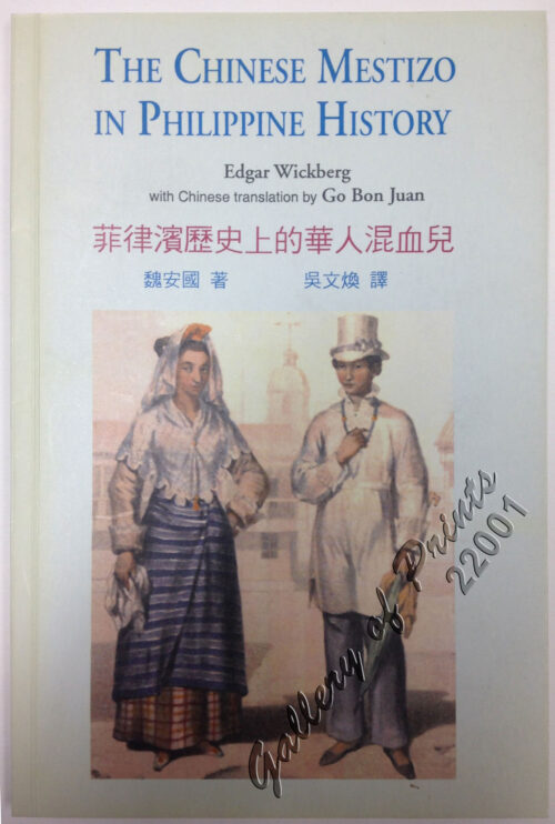
The Chinese Mestizo in Philippine History
1 x
₱
3,300.00
Nuestra prisión en poder de los revolucionarios filipinos. Crónica de dieciocho meses de cautiverio de más de cien religiosos del Centro de Luzón, empleados en el Ministerio de las Almas
1 x
₱
41,600.00
Carte de la Mer de Chine… par M. Daussy,… capitaine Horsburgh… Sous le Ministère de M. Ducampe De Rosamel… au Dépôt-Général de la Marine en 1838.
1 x
₱
166,000.00
View Cart
Checkout
Home
About Us
Publications
Shop Online
Framing Services
Exhibits
Picture Hanging System
Contact Us
View cart
“Carte de la Mer de Chine… par M. Daussy,… capitaine Horsburgh… Sous le Ministère de M. Ducampe De Rosamel… au Dépôt-Général de la Marine en 1838.” has been added to your cart.
Sort by
Name
Sort by
Default Order
Sort by
Name
Sort by
Price
Sort by
Date
Sort by
Popularity
Show
30 Products
Show
30 Products
Show
60 Products
Show
90 Products
Boca. N. del Rio Grande de Mindanao
₱
4,400.00
Add to cart
Details
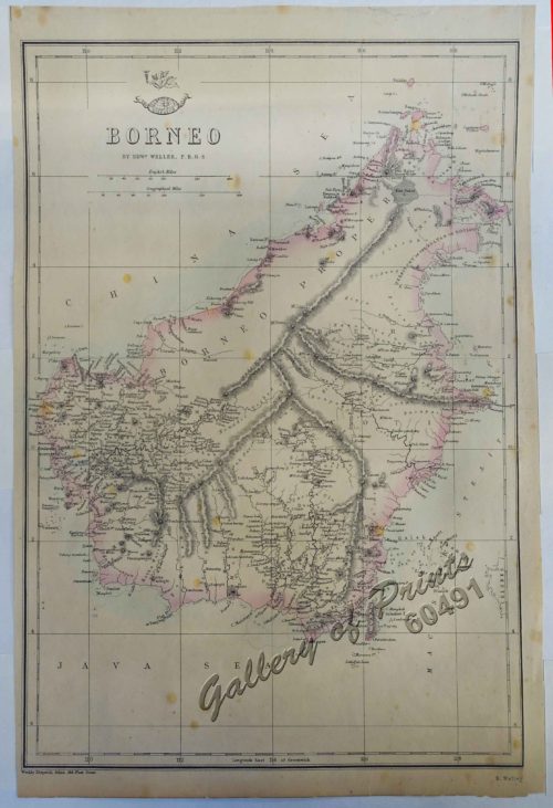
Borneo
₱
4,400.00
Add to cart
Details
Bukas I. Port Sibonga
₱
4,400.00
Add to cart
Details
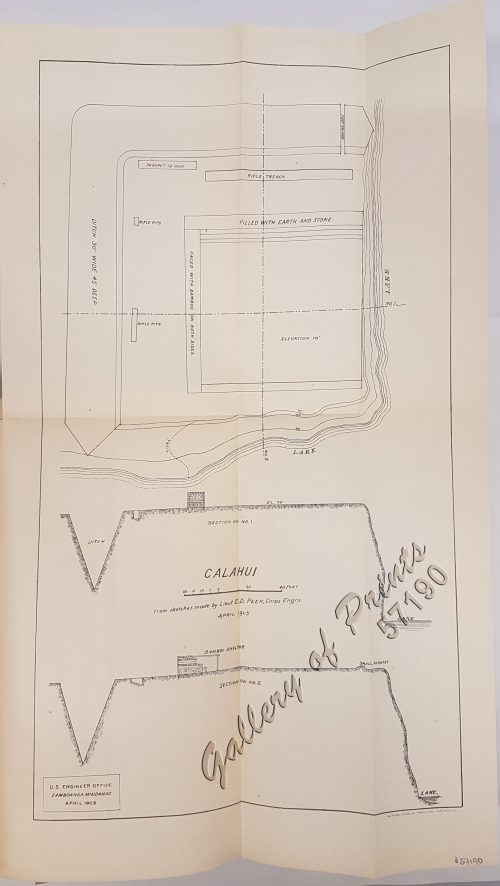
Calahui
₱
3,300.00
Add to cart
Details
Calamion or Culion I. Port Culion
₱
4,400.00
Add to cart
Details
Campaña de Filipinas
₱
49,500.00
Add to cart
Details
Carta Prima Generale dell’ Asia
₱
990,000.00
Add to cart
Details
Carta Universal de Ptolomeo
₱
5,500.00
Add to cart
Details
Carte d’ Espagne et des principaux etats appartments a...
₱
22,000.00
Add to cart
Details
Carte d’ Espagne et des principaux etats appartments a...
₱
39,600.00
Add to cart
Details
Carte de l’Archipel de St. Lazare ou Les Isles Mariane...
₱
6,600.00
Add to cart
Details
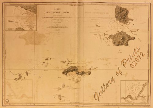
Carte de L’Archipel Solo [Map of Sulu Archipelago] Lev...
₱
61,600.00
Add to cart
Details
Carte de L’Ocean Meridional (Atlantic Ocean)
₱
5,500.00
Add to cart
Details
Carte de la Mer de Chine… par M. Daussy,… capitaine Hors...
₱
166,000.00
Add to cart
Details
Carte de la Partie Occidentale des Philippines.
₱
49,500.00
Add to cart
Details
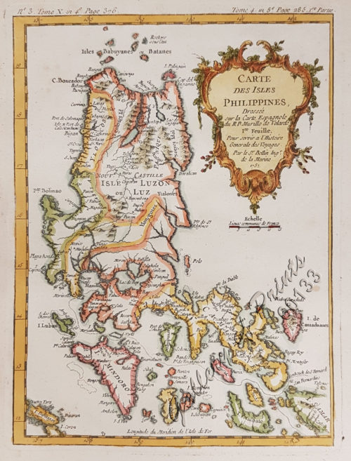
Carte des Iles Philippines Pour servirà l’intelligenc...
₱
980,000.00
Add to cart
Details
Carte des Îles Philippines, Célebès et Moluques….Duperr...
₱
140,000.00
Add to cart
Details
Carte des Indes en deçà et au delà du Gange… et les Phi...
₱
6,600.00
Add to cart
Details
Carte des Indes et de la Chine…
₱
39,600.00
Add to cart
Details
Carte des Indes Orientales… (1e et 2e feuille)
₱
99,000.00
Add to cart
Details
Carte des Isles Pelew et autres Adjacentes
₱
61,600.00
Add to cart
Details
Carte des Isles Philippines
₱
33,000.00
Add to cart
Details
Carte des Isles Philippines (1e feuille)
₱
15,600.00
Add to cart
Details
Carte des Isles Philippines, Celebes et Moluques [Kaart van ...
₱
13,200.00
Add to cart
Details
Carte des Nouvelles Philippines – Kaart der Nieuwe Phi...
₱
11,000.00
Add to cart
Details
Carte des Nouvelles Philippines [Map of the New Philippines]...
₱
6,600.00
Add to cart
Details
Carte du Canal des Isles Philippines par lequel passe le Gal...
₱
39,600.00
Add to cart
Details
Previous
1
2
3
4
5
6
…
15
16
17
Next
Shopping Cart
Carte de la Mer de Chine… par M. Daussy,… capitaine Horsburgh… Sous le Ministère de M. Ducampe De Rosamel… au Dépôt-Général de la Marine en 1838.
1
Nuestra prisión en poder de los revolucionarios filipinos. Crónica de dieciocho meses de cautiverio de más de cien religiosos del Centro de Luzón, empleados en el Ministerio de las Almas
1
The Chinese Mestizo in Philippine History
1
Annual Reports of the War Department for the Fiscal Year Ended June 30, 1899. Report of the Major-General Commanding the Army. Part 2 [of 3]
1
Fortsetzung der Karte von dem Morgenlændischen Ocean die Eylande Sonda die Küsten von Tunquin und China die Eylande Japon die Philippinischen und Molukkischen Eylande in sich enthaltend….1746 [Continuation of the Map of the Orient Ocean with the Sunda Islands, Tonkin and China, the islands of Japan, the Philippines and Molukkas…]
1
España, Sus Monumento y Artes.... .....Cuba Puerto-Rico y Filipinas
1
A Chart of the China Sea, and Philippine Islands, with the Archipelagos of Felicia and Sooloo, shewing… …Canton and Balambangan,… composed from an original drawing, communicated by Capt. Robert Carr. and compared with the map of Pedro Murillo de Velarde, engraved at Manilla in 1734…. insets: 1) The Ports of Ylocos, on the West Coast of Luzon. 2) The Bay of Subic, on the West Coast of Luzon.
1
Cart
Checkout
Continue Shopping
7