Description
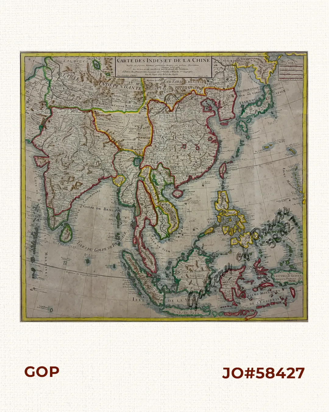
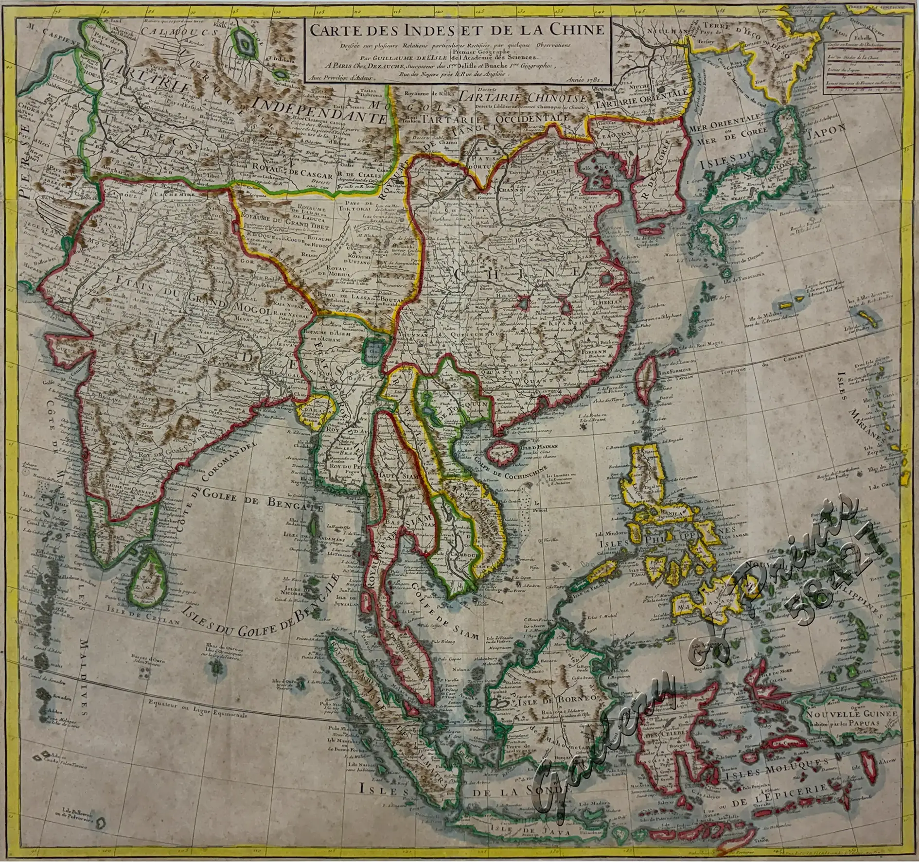
outline hand-coloured copper engraving. Map showing India, China, Japan and Southeast-Asia.

Original price was: ₱39,600.00.₱31,680.00Current price is: ₱31,680.00.
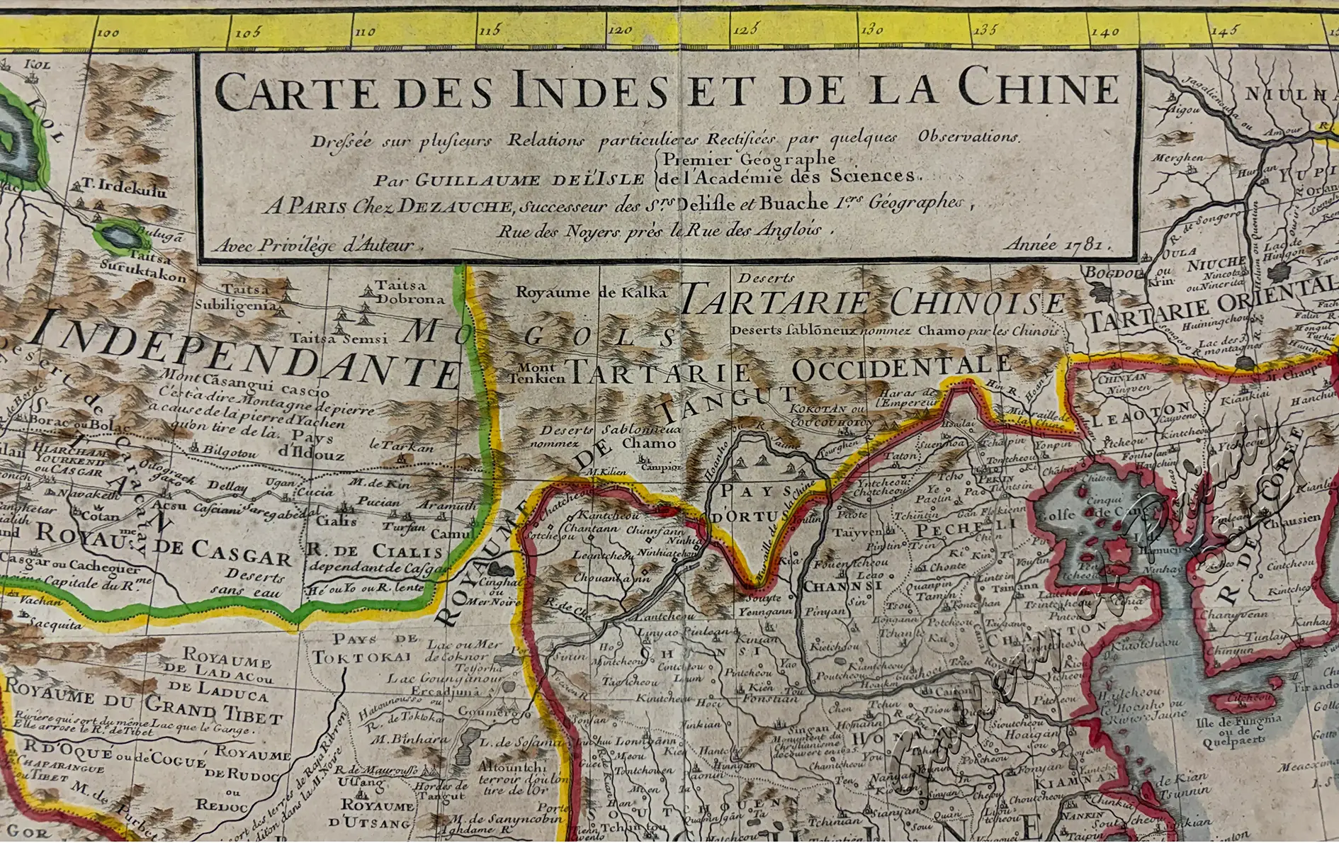
Author: Dezauche, [Jean-Claude] / L'Isle, Guillaume de. / Buache, Ph[ilippe]
Publisher: published in Paris by Dezauche, successors to Delisle and Ph. Buache, with author's privilege, Rue des Noyers près le Rue des Anglois.
Year: 1781
Size: 62.8 x 65.5 cm
Reference: Quirino p.89 (similar to Covens and Mortier); Cottrel 16; Hill 578; Nissen IV, B 886; Nissen SUB 473; Pritzel 8774; Stresemann 83; Mac Gill/Wood 577.
1 in stock
outline hand-coloured copper engraving. Map showing India, China, Japan and Southeast-Asia.
with folds as issued, paper toning, cleaned, professionally backed, foxing throughout, toned paper, hinge remnants and some paper loss in margins, not affecting plate.
![Plan du Port de Subec, en I'Isle de Lucon [Plan of The Port of Subic on Luzon Island]](https://www.gop.com.ph/wp-content/uploads/2015/05/JO55439-de-Mannevillete-c1775-Plan-du-Port-de-Subec-600x750.webp)