")
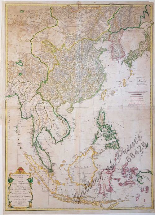
Author: Henri Abraham Chatelain
Publisher: published in Amsterdam.
Year: 1713
Size: 33 x 44.5 cm
Reference: not in Quirino; Koeman Cha1
₱22,000.00
In Stock
In Stock
hand-coloured copper engraving. The RARE First state map from the ‘Atlas historique….’, no. 38, of vol 1.
Originally 1, then extended to 7 volumes.
The colonial power SPAIN is shown in the centre surrounded by small depictions of all Possessions throughout the world, supported by geographical and historical text for each map.
with paper loss and tear at bottom portion, barely affecting plate, with paper creases, water stained. Condition considered when pricing.