
Antique Maps - Philippines
Showing 19–27 of 1042 resultsSorted by latest
-
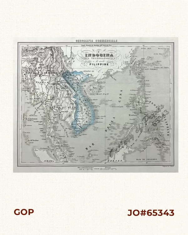
L’ Indocina (India Transgangetica) e le isole Filippine [Indochina beyond...
₱19,900.00 -
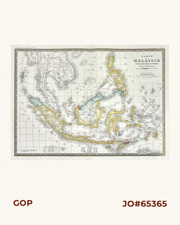
Carte de la Malaisie [Map of the Malayan Archipelago] (Partie Nord-Ouest de l...
₱15,700.00 -
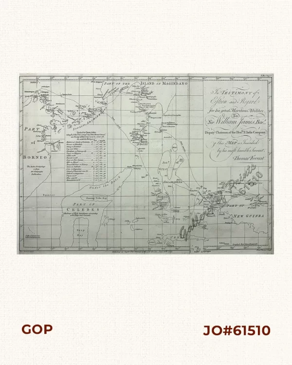
Track of the Tartar Galley…Voyage of Discovery – In Testimony of Esteem ...
₱34,100.00 -
![[Map of India} = Kapma Hnduu in RUSSIAN [Asia including the Philippine Archipelago]](https://www.gop.com.ph/wp-content/uploads/2026/09/jo59270-Savinkow-1835-Map-of-India-cleaned-copy-600x750.webp)
[Map of India} = Kapma Hnduu in RUSSIAN [Asia including the Philippine Archipela...
₱77,000.00 -
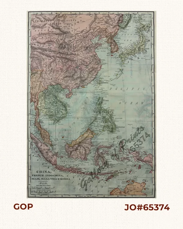
China, French Indo-China, Siam, Malaysia and Korea [Philippine Islands]
₱7,700.00 -

Progress Map of Signal Corps Telegraph Lines & Cables in the Military Divisi...
₱22,000.00 -

Indiae Orientalis Nova Descriptio
₱128,000.00 -

A Chart of the China Sea, and Philippine Islands, with the Archipelagos of Felic...
₱780,000.00 -

China Sea – Palawan Island Surveyed by Comr. W. T. Bate R.N. Assisted by...
₱8,800.00