
Description
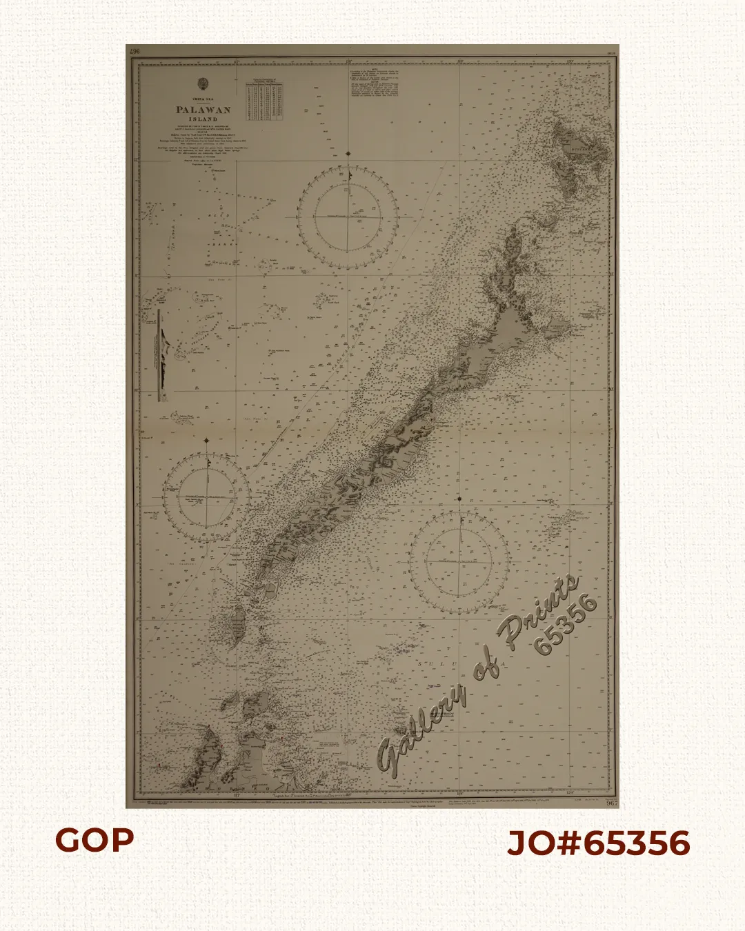
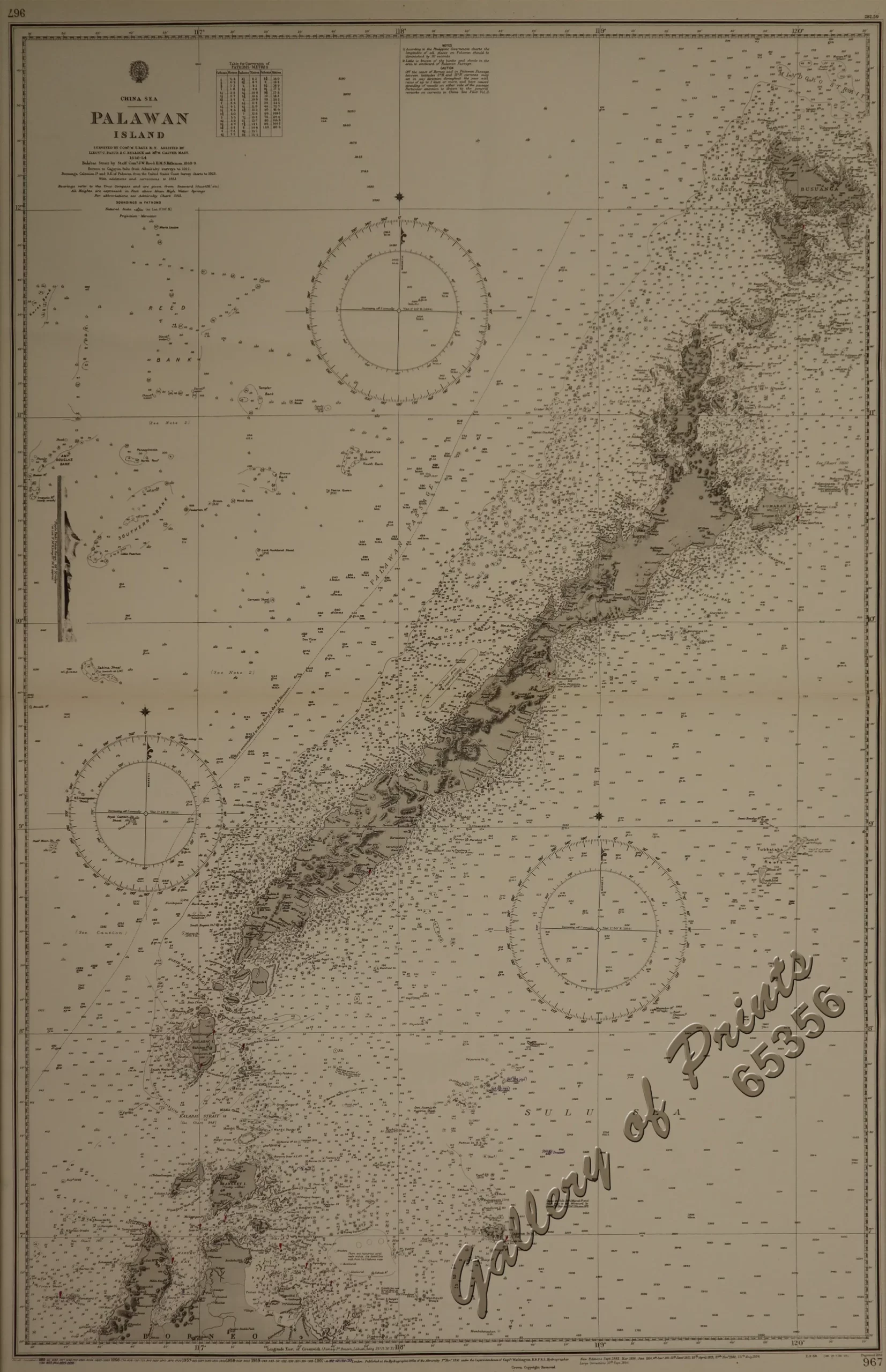
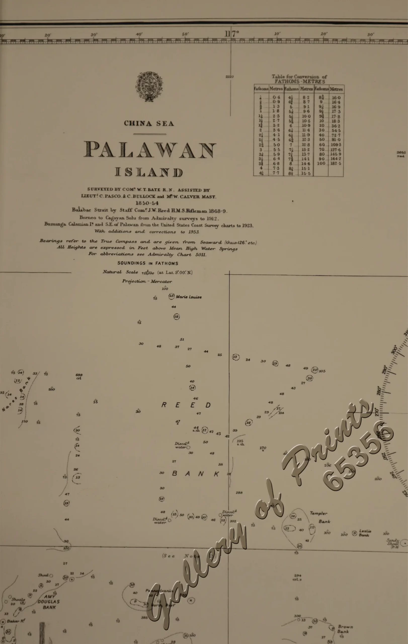
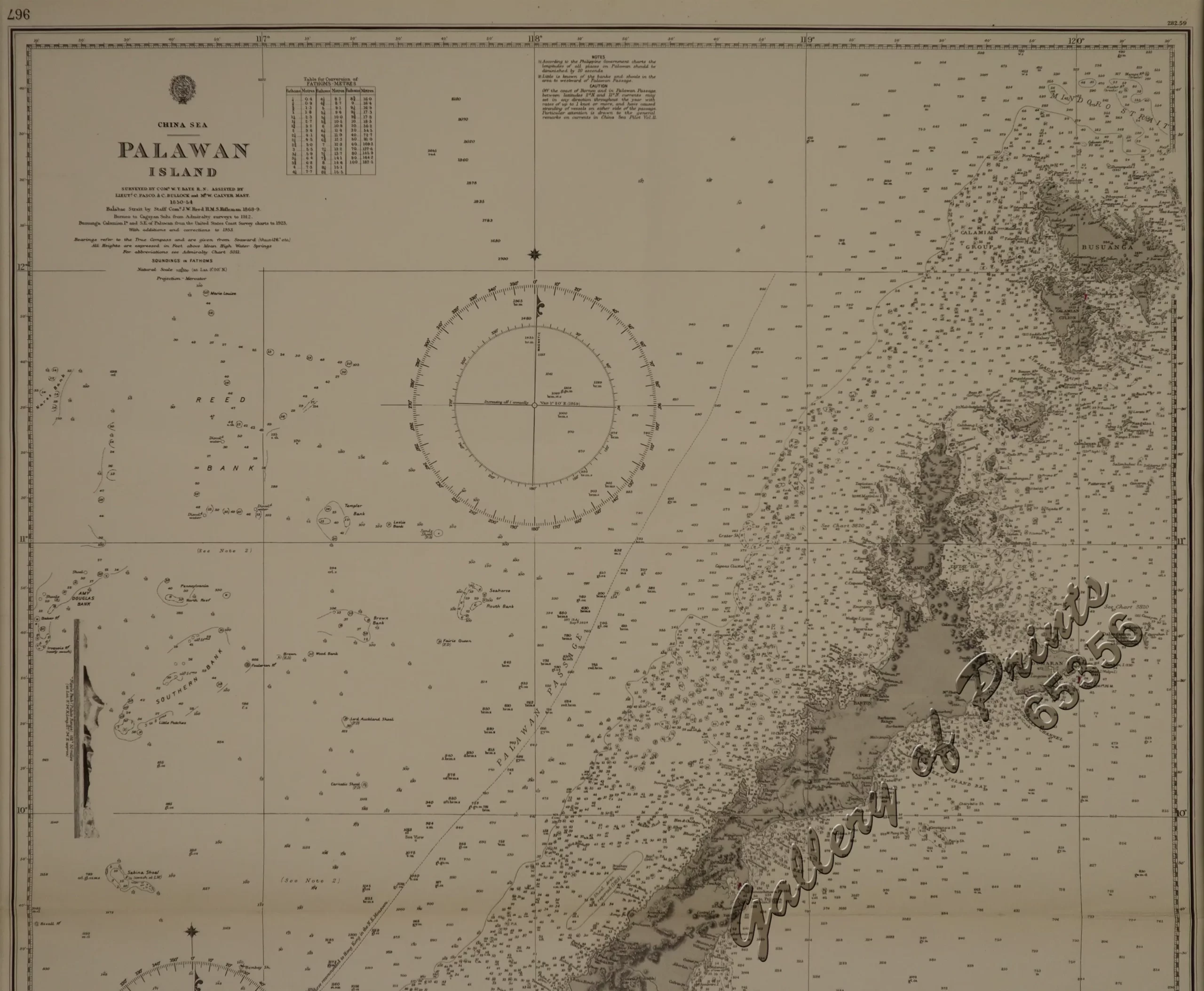
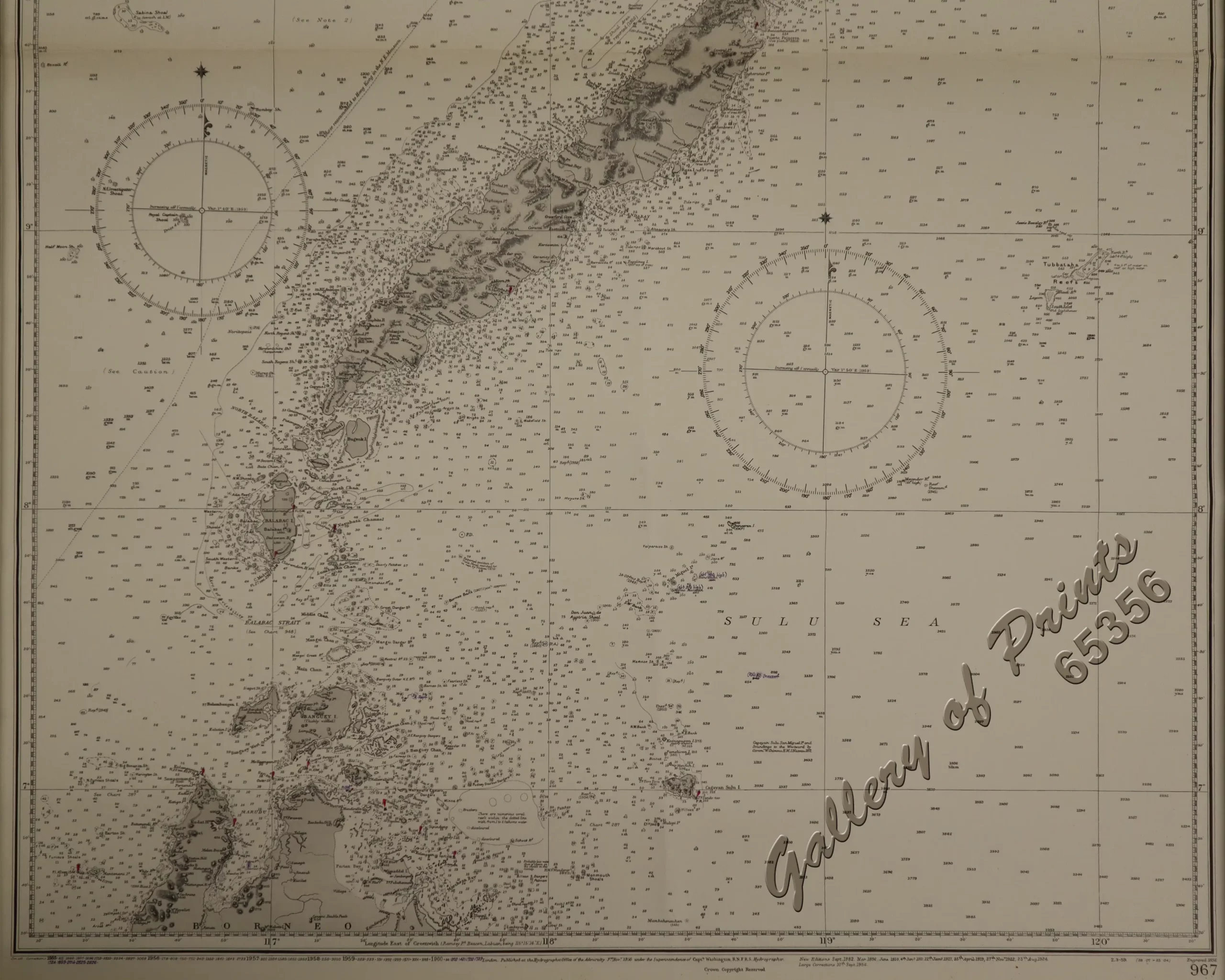
sepia lithograph, vintage map #967. A scarce Admiralty chart of Palawan, Philippines, showing extensive 19th and early 20th-century surveys with later updates. Highly collectible for Philippine, Borneo, and South China Sea maritime history.
First engraved 1856.
New editions Sept 1882, March 1896, June 1910, Jan 1911, Jan 1917, April 1919, Nov 1922, Aug 1924.
Large corrections 10th Sept 1954.
Small corrections 1955, 1956, 1957, 1958, 1959, 1960.
![Plan du Port de Subec, en I'Isle de Lucon [Plan of The Port of Subic on Luzon Island]](https://www.gop.com.ph/wp-content/uploads/2015/05/JO55439-de-Mannevillete-c1775-Plan-du-Port-de-Subec-600x750.webp)

