Antique Maps
Showing 1–9 of 1006 resultsSorted by latest
-
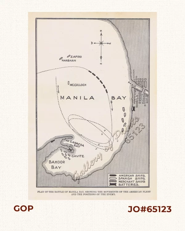
Plan of the Battle of Manila Bay, Showing the Movements of the American Fleet an...
₱3,300.00 -
![1. Philippine Islands (to Spain). 2. Tasmania. 3. North Borneo, Sarawak & Brunei [with prints on verso:] 1. Borneo, Sumatra, Java, Etc. 2. Fiji Islands.](https://www.gop.com.ph/wp-content/uploads/2026/06/jo58306-Johnston-1897-Philippines-Tasmania-Borneo-600x750.webp)
1. Philippine Islands (to Spain). 2. Tasmania. 3. North Borneo, Sarawak & ...
₱6,600.00 -
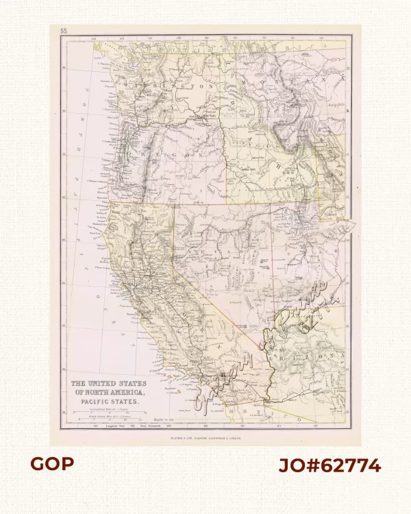
The United States of North America, Pacific States.
₱4,400.00 -
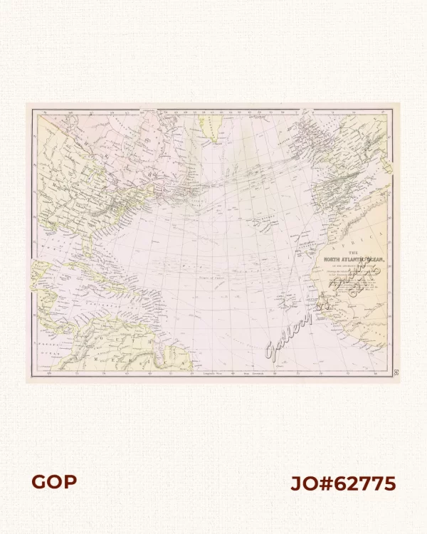
The North Atlantic Ocean, on the Gnomonic Projection. Shewing the relative posit...
₱4,400.00 -
![1) Mapa de la Isla de Mindanao [Map of the Island of Mindanao]. 2) Mapa de las Campañas de Mindanao [Map of the Campaigns in Mindanao]](https://www.gop.com.ph/wp-content/uploads/2026/06/jo65325-Mapa-de-la-Isla-de-Mindanao-600x750.webp)
1) Mapa de la Isla de Mindanao [Map of the Island of Mindanao]. 2) Mapa de las C...
-
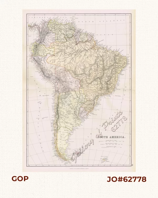
South America.
₱3,300.00 -
![The West India Islands, and Central America. [inset:] Jamaica](https://www.gop.com.ph/wp-content/uploads/2026/06/jo62777-Blackie-1883-The-West-India-Islands-and-Central-America-600x750.webp)
The West India Islands, and Central America. [inset:] Jamaica
₱3,300.00 -
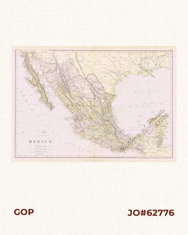
Mexico.
₱3,300.00 -
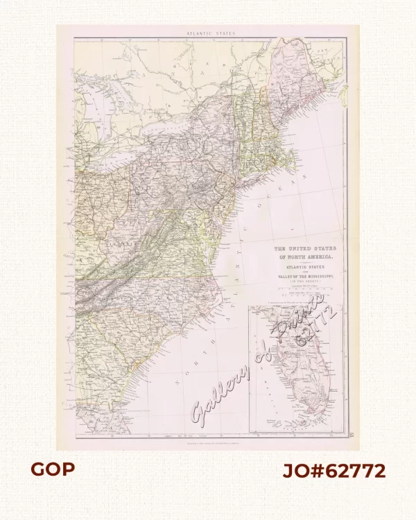
1) The United States of North America. Atlantic States and Valley of the Missis...
₱5,500.00