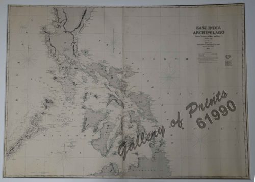
PHILIPPINES [SOVIET RUSSIAN MAP] 1:3 000 000. Second Edition. Main Department of Geodesy and Cartography under the USSR Council of Ministers. Moscow, 1967. insets: 1) Economic Map. Scale: 1-6 000 000; 2) Map of Peoples. Scale: 1-6 000 000; 3) Annual Rainfall. Scale: 1-10 000 000
SOLD
Description
original-colour map, folded into pocket size, accompanied by a Gazetteer, 16pp., with printed card covers.
A highly attractive Soviet map and Gazetteer of the Philippines, published in Moscow by the Main Directorate of Geodesy and Cartography under the Council of Ministers of the USSR, the Kremlin’s official mapping agency. The text is entirely in Russian Cyrillic script, and the main map employs colour coding to denote elevation, with spot heights in metres. All major cities and towns are labelled, as are all elements of transportation infrastructure, plus other interesting details, such as the locations of coral reefs. The three insets to the left of the main map feature sophisticated, scientifically accurate thematic maps of the Philippines. The first (upper) is an economic map of the islands, showcasing agriculture, industry and mining. The second (middle) details the territories of the country’s many ethnic groups. The third (lower) is a precipitation map. The map is accompanied by a Gazetteer, containing an introduction, as well as references to finding all the places located on the main map. While the Soviet Union had little direct engagement with the Philippines, the KGB had a special interest in the country during the 1960s when the present map was issued. The islands hosted major U.S. military bases that were the main staging points for the ongoing Vietnam War. Manila was said to then be full of KGB agents, angling to gain the latest intelligence; this map would have been a stellar introduction for Soviet operatives newly arrived in the Philippines. Soviet Military Map from the USSR (Union of Soviet Socialist Republics). Produced 1960’s onwards. Most of the maps of this type are 1:200,000 scale (although other scales exist). Most likely the original source for this type of maps is from the stocks kept on board freight train wagons sitting in Riga captured by the Latvians during the breakup of the Soviet Union.
Condition
Very good to excellent condition.


