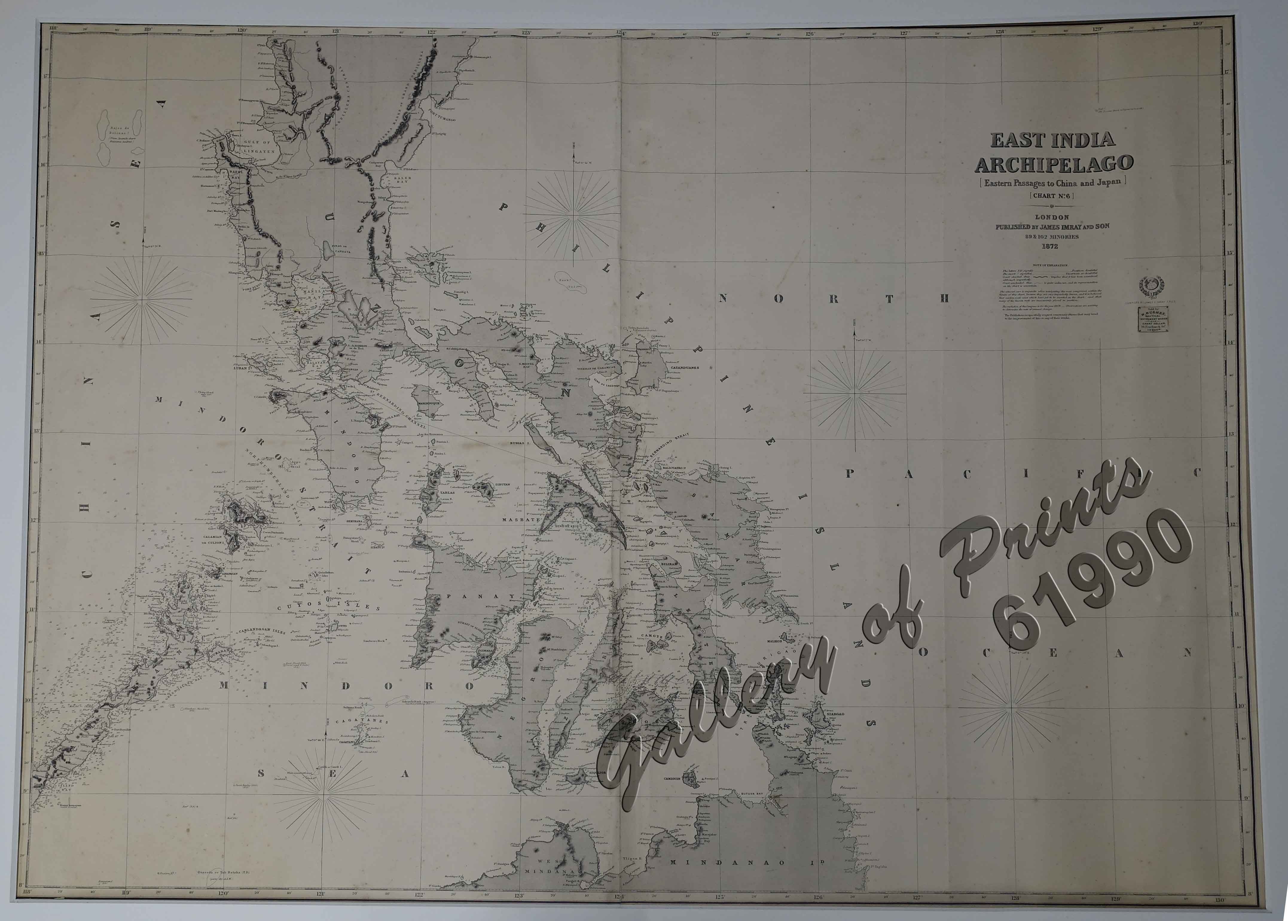
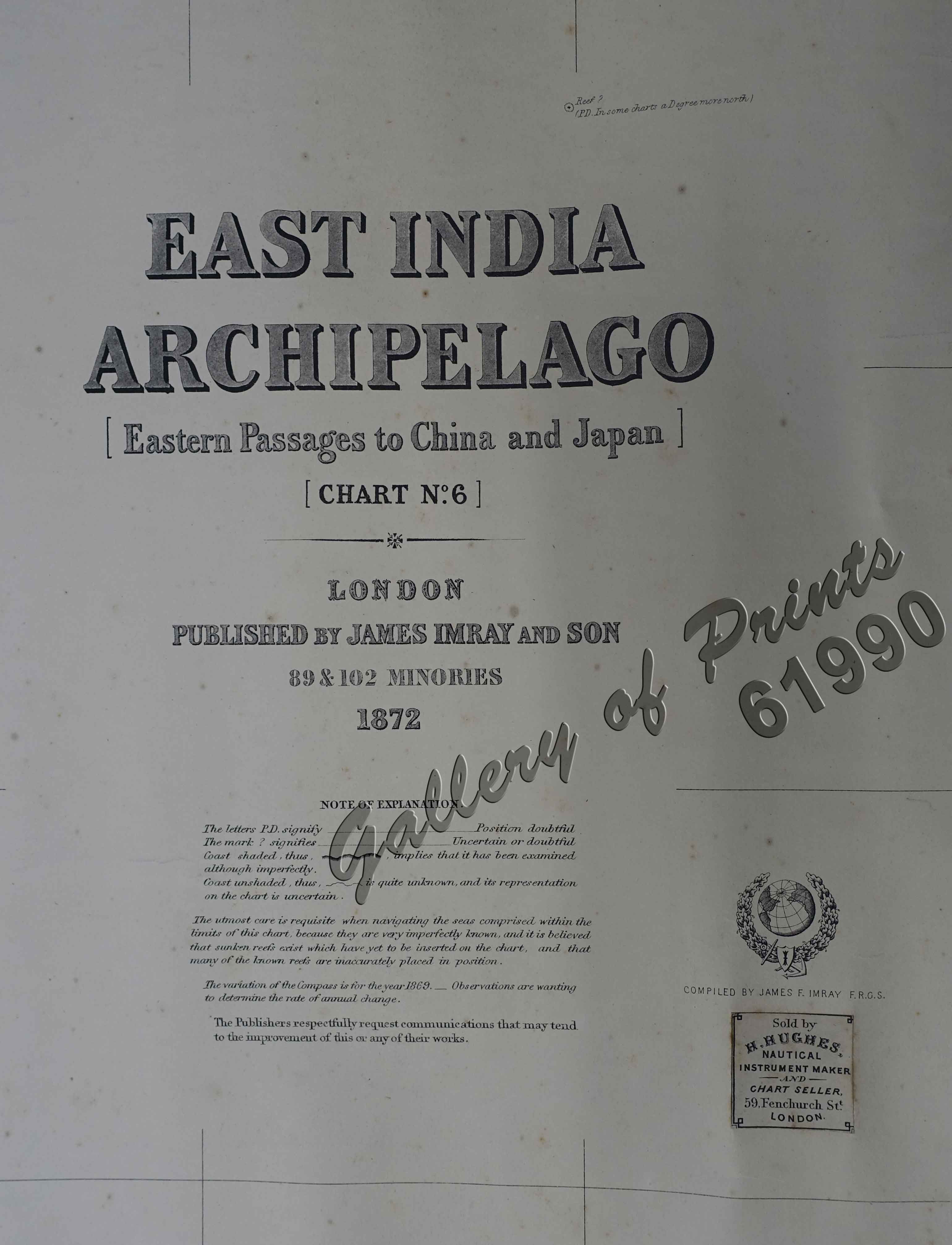
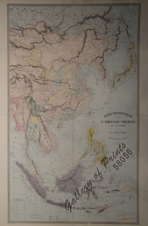
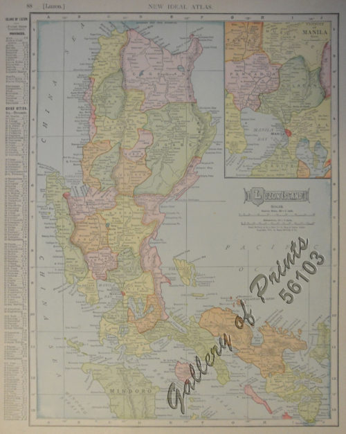
East India Archipelago [Eastern Passages to China and Japan][Chart No.6] London, Published by James Imray and Son, 89 & 102 Minories, 1872
₱110,000.00
In Stock
In Stock
Description
lithograph.
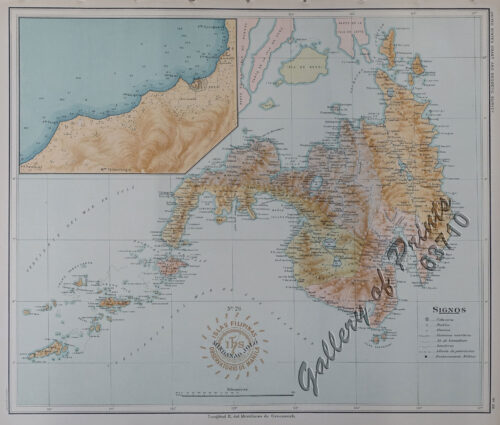
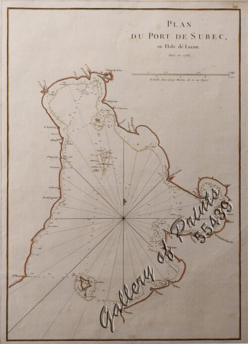
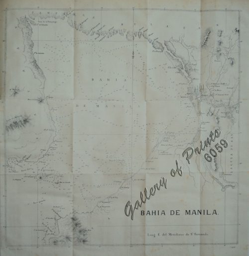
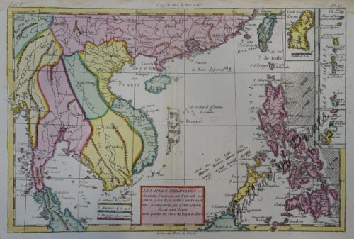
EXTREMELY RARE sea chart published by James Imray & Son, London, a so-called blue-back map, Chart no. 6 [of 8], sheet 11 & 12. with label: Sold by H. Hughes, Nautical Instrument Maker and Chart Seller, 59 Fenchurch St. London. Imray originally was in the stationary account book publishing business. In 1836 Imray joined with Michael Blachford, a small sea chart publisher based in London. The partnership flourished and soon began to compete with the larger firm of Norie and Wilson. In 1846 Imray bought out Blachford, taking over as sole proprietor. The firm later, led by descendants, survived into the 20th century. This chart shows the central Philippine Islands, from Mindanao northward to Luzon. Working sea charts are inherently rare due to the nature of their use abroad ships. Although likely common when first made, the vast majority of them were destroyed by use or destroyed intentionally when new updated versions were obtained.
Condition
touches of old colour, two sheets joined, backed on blue paper.

