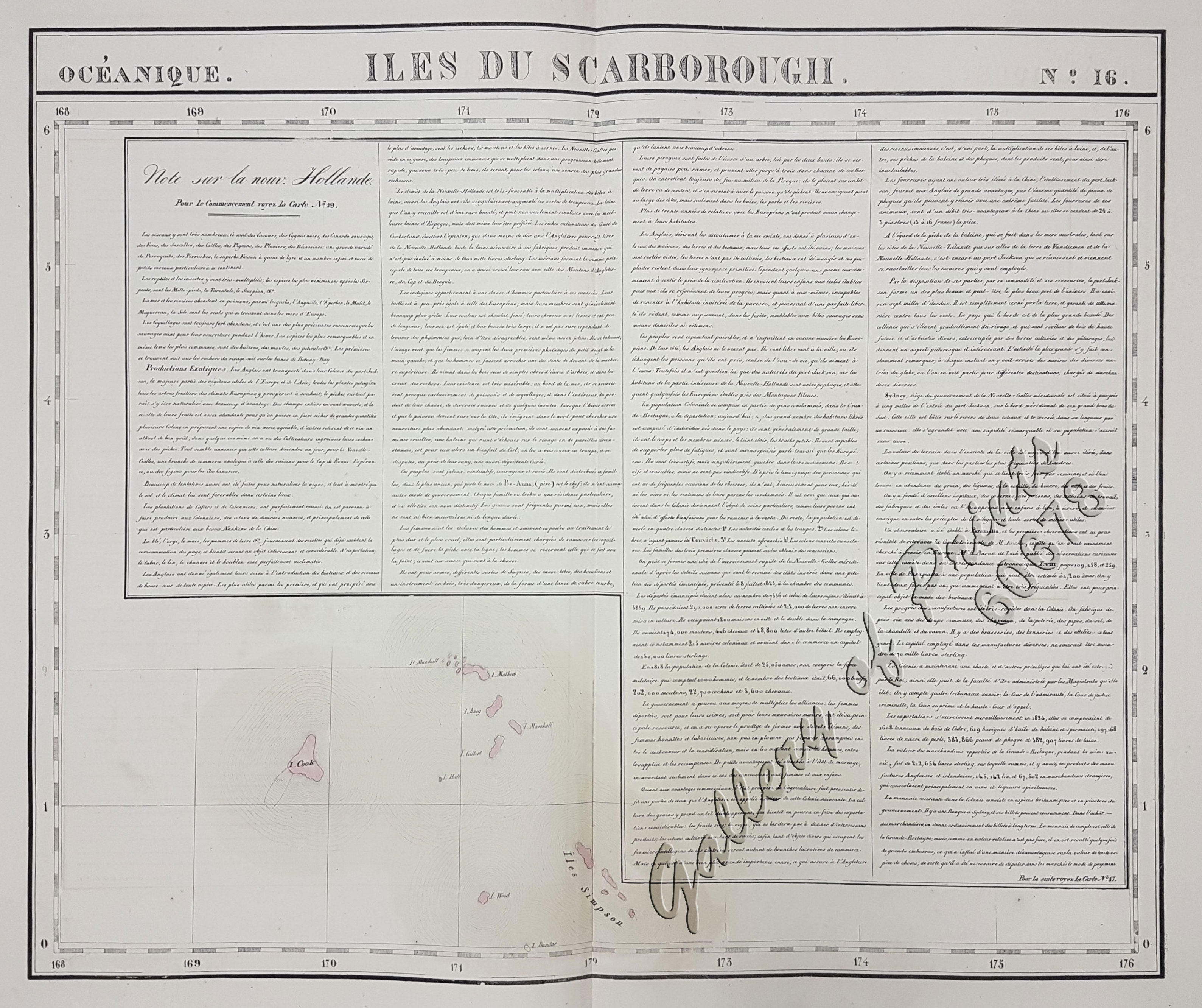
Océanique: Isles du Scarborough. ‘pl. 16 Note sur le nouv. Hollande. Pour le commencement voyez la carte no. 29 … Pour la suite voyez la carte no. 17. [Notes on New Holland. For the beginning please go to map no. 29….For the continuation please see map no. 17]
₱8,800.00
In Stock
In Stock
Description
RARE original-colour lithograph, features long text on “New Holland pl. 29” apparently due to space reasons(bare ocean….). RARE map of Kiribati with the Gilbert Islands, from ‘Atlas Universel de Geographie…’, (Oceanique no. 16). This 6 vol. Atlas contains 382 lithographed mapsheets and 40 plates of statistical data by Henri Ode (mostly hand-coloured in outline). The maps in the atlas constitute not only the first atlas of the world on a uniform scale, but also the first lithograph atlas. Constructed on a modified conical projection, if assembled, they form a 7,75 m diameter globe, although only one such was known to have been assembled, by the author himself, and requiring a specially designed room. Map shows the Gilbert Islands, now main part of Republic of Kiribati. But the main feature of this map is the extensive description of Australia, referring to map no. 29. Prime meridian: Paris.
Condition
with center fold as issued, with some faint stains and toning, very good condition.

