Philippine Islands. Tablas Strait with Part of Sibuyan Sea…Sources: United States Government Charts to 1935

6,600.00

In Stock

In Stock

Author: Edgell, J.A.

Publisher: first published at the United Kingdom London, 6th November 1936 under the Superintendence of J.A. Edgell CB OBE,Hydrographer of the Navy.

Year: 2001 [1936]

Size: 61.3 x 101.6 cm

Reference:
SKU: 59289 Category: Tag:

Description

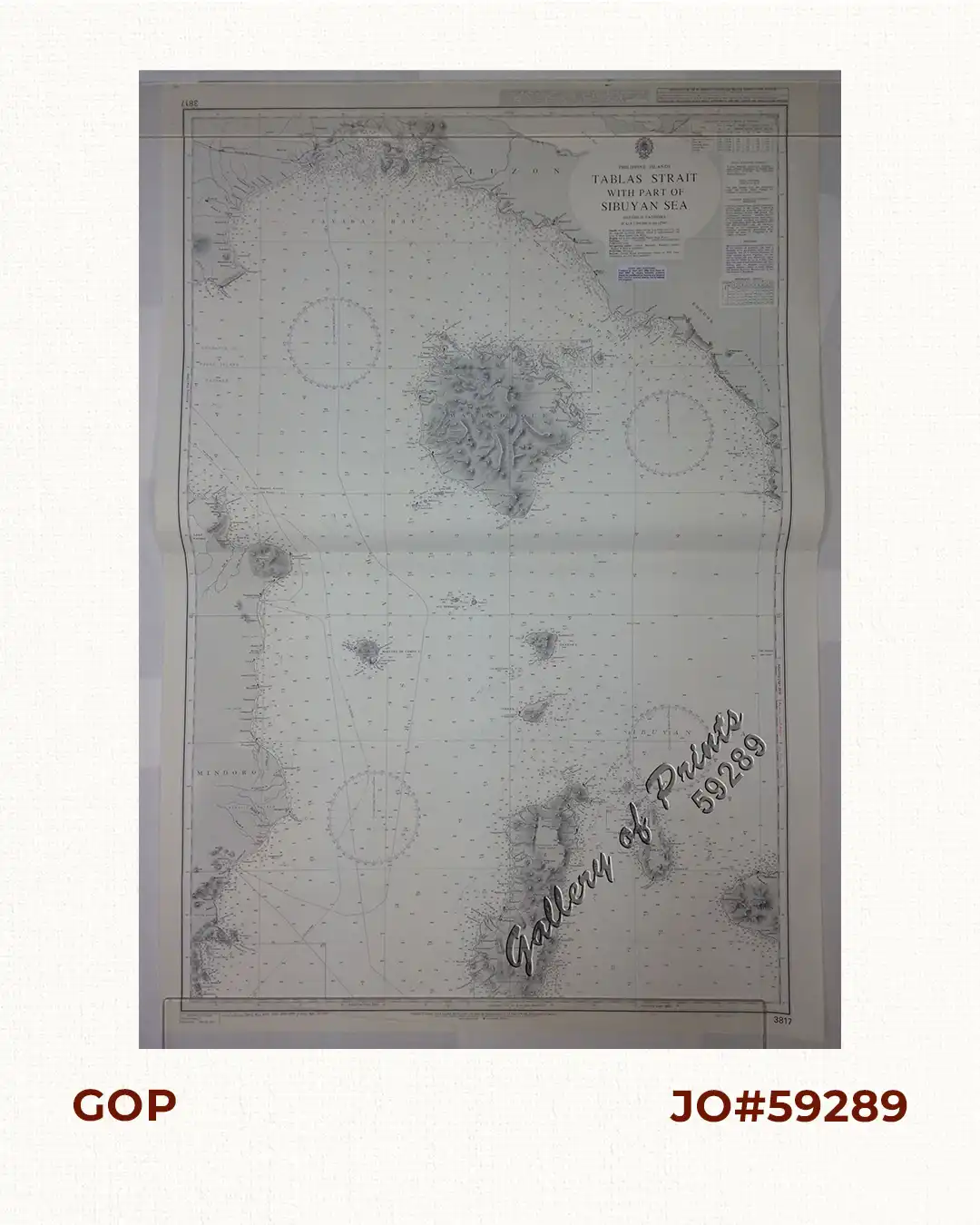
lithograph. Map # 3817. This chart includes copyright material published with the permission of the Philippines. Edition Number: 2 – Edition Date: 18th October 2001. Notices to Mariners (2002)3744-4279-4280-48474848-/2003-940-2401-3502. Seal of the Hydrographic Office – 4 Sea Roses with 360 degrees.

Condition

with centerfold as issued.

Shopping Cart
There are no products in the cart!
Continue Shopping
0