![Exacta & accurata delineatio cum orarum maritimarum tum etjam locorum terrestrium quae in Regionibus China, Cauchinchina, Camboja sive Champa, Syao, Malacca, Arracan & Pegu… Waarachtige uitworpinghe ofte afbeeldinge van alle die custen ende landen van China, … [Accurate & Detailed Drawing with Borders Maritime and even Terrestrial Places Located in the Regions of China….]](https://www.gop.com.ph/wp-content/uploads/2024/05/jo64470-van-Linschoten-1596-Exacta-accurata-delineatio-cum-orarum.webp)
Description
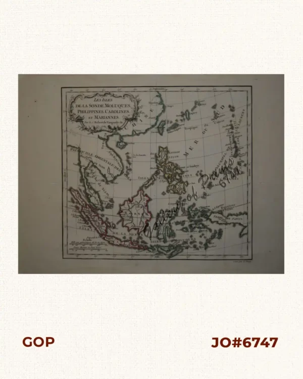
copper engraving. EXTREMELY RARE and IMPORTANT. Two bar scales on map, given in “Miliaria Germanica” and “Hispanicæ leucæ”. Two compass roses, decorative cartouches, and illustrations of sea monsters, sailing vessels, and animals in the interior of China (elephant, camel, giraffe and rhinoceros).
Stunning and seminal map from the ‘Itinerario. Voyage ofte Schipvaert van Jan Huygen van Linschoten…’, [“Discours of Voyages into Ye East & West Indies”] published by Linschoten in Amsterdam, and engraved by Hendrick Florent van Langren (fl. 1574-1604), after Arnold Florent van Langren.
This iconic map was drawn from Secret Portuguese charts, which Linschoten obtained during his residence in Goa and from his close association with the Dutch cartographer & orientalist Petrus Plancius.
The chart is beautifully engraved, and contains depictions of Giraffe, Camels, elephants and a rhinoceros. Two ships in full sail fire their cannons while a whale shoots water from its blowhole. Delicately engraved cartouches show the title and a scale of distance, while two compass roses decorate the ocean.
It served as the blueprint for the first map in the world showing the Philippines alone in one single map, the famous Kaerius map by Bertius.
The chart is orientated from West to East – instead of North-South – and shows Southeast Asia, Japan in a “Shrimp” shape, with the port of Nagasaki well portrayed but the rest of the Islands barely known. Korea is an Island with sandbanks connecting it to the mainland to demonstrate the uncertainty over its true status. China, depicted with several rivers and lakes, as based on local Chinese myths. An island named “Beach” based on the Tales of Marco Polo hints at a great Southern Continent: Australia.
Jan Huygen van Linschoten (1563-1611), a young Dutchman, served as the archbishop’s secretary in Portuguese Goa between 1583 and 1588. During this stay, he meticulously copied the secret charts page by page. Even more crucially, he provided nautical data like currents, deeps, islands and sandbanks that were absolutely vital for safe navigation, along with coastal depictions to guide the way. The publication of the navigational routes enabled the passage to the East Indies to be opened to trading by the Dutch, French and the English. As a consequence, the Dutch East India Company and the British East India Company would break the 16th-century monopoly enjoyed by the Portuguese on trade with the East Indies.