Description
original hand-colour copper engraving including decorative cartouches (both sheets) 2 sheets joined.
EXTREMELY RARE map from a ‘Sammelatlas’, published by Heritiers de Homann (Homann Heirs), Nuremberg, in two sections.
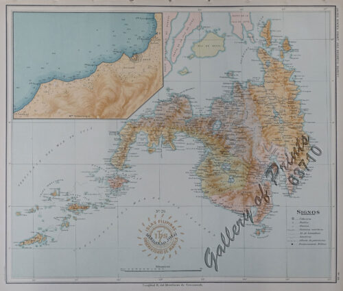
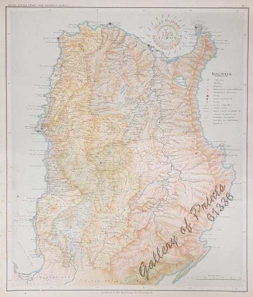
Fine example of Lowitz’s two-sheet version of Father Pedro Murillo Velarde’s map of the Philippines, the first reasonably obtainable large-format map of the archipelago and the most accurate map of the islands to that date.
The map shows a very detailed view of the islands, with villages, waterways, and historical events marked. There are trees and hills included, although they are more decorative than geographic. There are also two tracks marked on the map. To the north is the route of the Acapulco-Manila galleon, which could sail via Cape Bojeador or through the islands. To the south is the track of Ferdinand Magellan, the first European to visit the islands in 1521. He also died there, although his ship under the command of Elcano continued on the complete the first circumnavigation of the earth.
Condition
with folds as issued, very good condition.