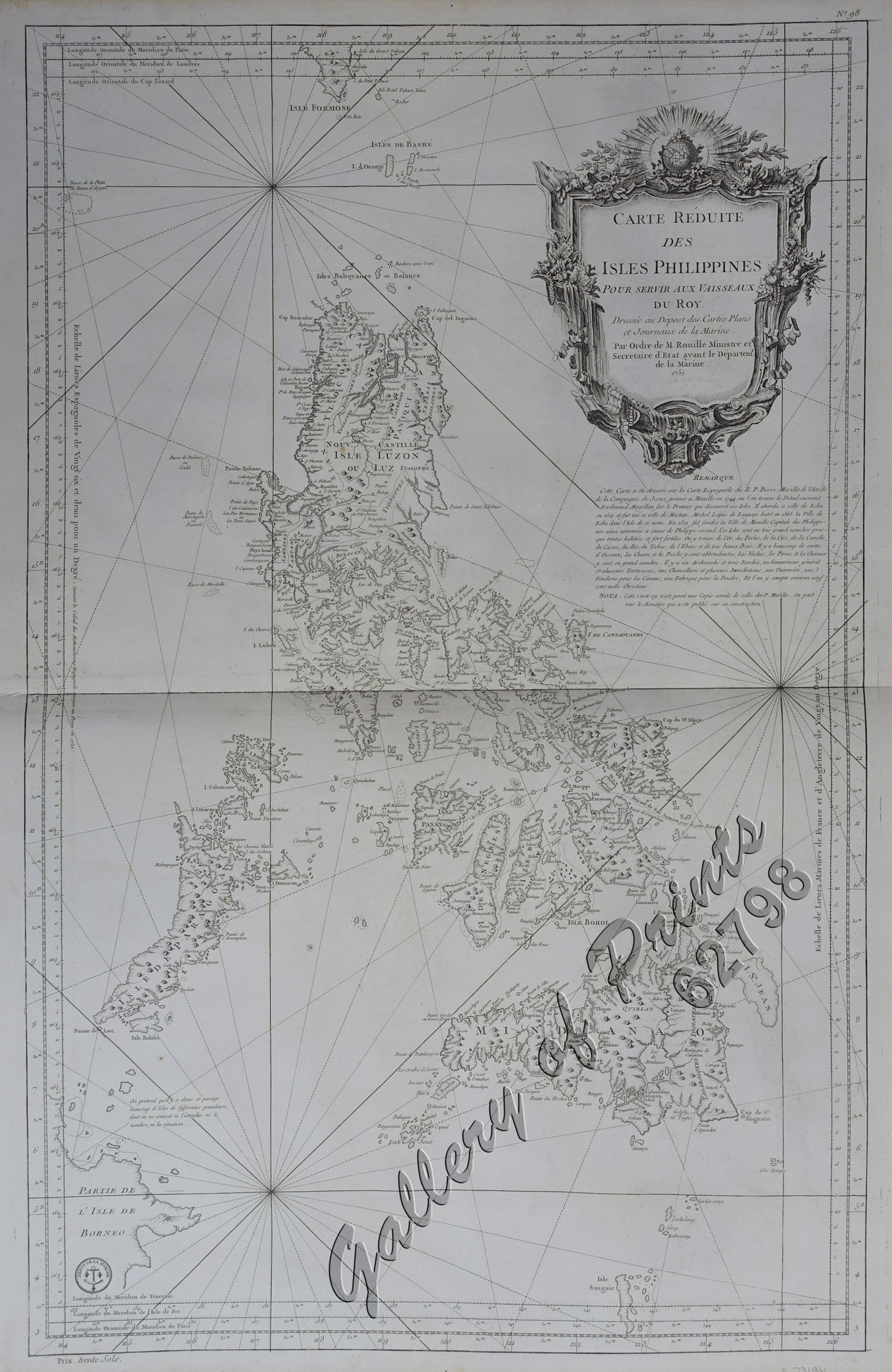
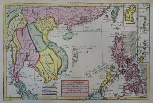
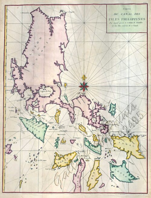
[Carte Reduite] Carte Réduite des Isles Philippines Pour Servir Aux Vaisseaux du Roy Dressée au Dépost des Cartes Plans et Journaux de la Marine
₱450,000.00
In Stock
In Stock
Description
copper engraving printed on thick paper, with printed navigational lines.
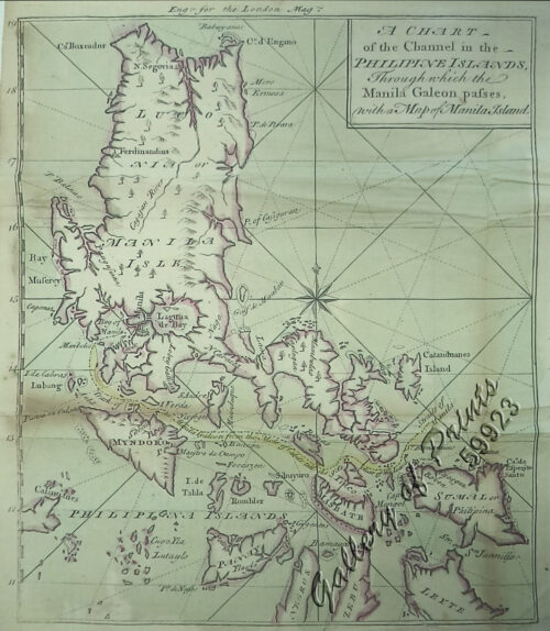
Sea chart based on Pedro Murillo de Velarde from ‘L’Hydrographie Françoise’ pl. 98. The definite, large, decorative and important map of the Philippines, which belongs into any serious collection of Philippine Maps.
Executed by Jacques Nicolas Bellin, one of the foremost French Cartographers/Hydrographers at the time, he however added the non-existing, mystical island of San Juan, East of Mindanao, “improving” on what was probably the largest Philippine map done in the 18th century after Pedro Murillo de Velarde.
This copy is another variant (Medaillon & 30), from the desirable thick paper edition:
1) with medallion of the Dépôt de la Marine.
2) with text of “Prix, trente Sols” on lower left. [Price 30 Sols]
3) without directional arrow in the line centre North.
4) with plate “no. 98” on upper right.
5) without text “A Paris chez Mr. Bellin Ingenieur…” on cartouche.
Condition
old repaired split centrefold with small stain, otherwise great condition.

