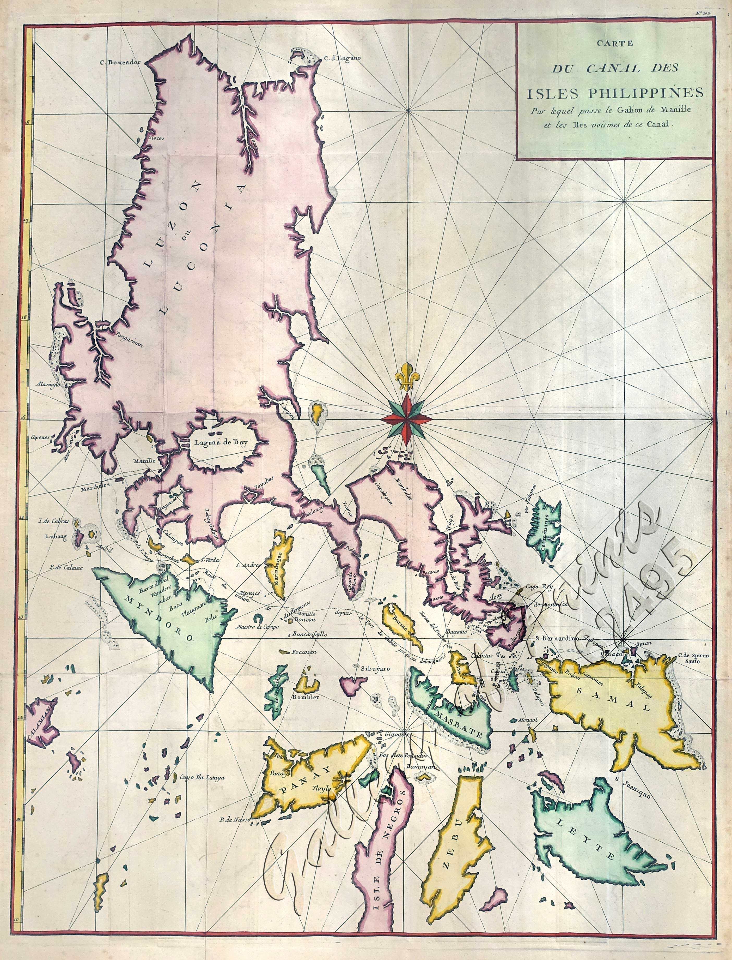
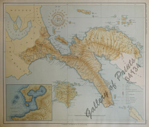
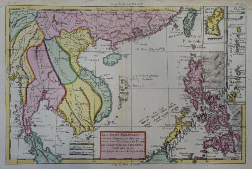
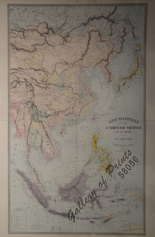
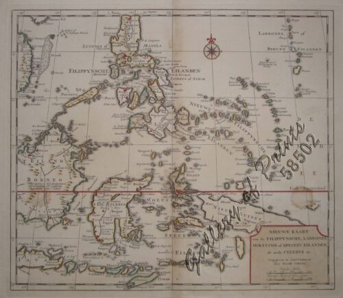
Carte du Canal des Isles Philippines par lequel passe le Galion de Manille et les Iles voisines de ce Canal [A Chart of the Channel in the Philippine Islands Through which the Manila Galeon passes, and the Islands Visible in that Channel]
₱33,000.00
In Stock
In Stock
Descriptions
hand-coloured copper engraving.
Map from ‘Atlas Universelle’, published by Etienne André Philippe de Pretot in Paris, as a translation from the English edition of “A Chart of the Channel in the Philippine Islands” from Lord George Anson’s ‘A Voyage Round the World’, pl.102, published by Knapton in London. The map shows the Manila Galleon Route from the San Bernadino Strait between Sorsogon (“Bulusan”) and Samar to Manila Bay and the ingenious capture off Samar of the Manila Galleon “Cavadonga” by his ship “Centaur” from the Spanish.
This travel account with 42 detailed engraved charts and engravings,including this large map of the Northern Philippines, was immensely popular at that time, propagating not only many editions but also many translations into different languages. They even served useful for Cook’s expeditions. The basis for the expeditions of Capt. Cook, among others.
Etienne Andre Philippe de Pretot (1710-1787) was a French schoolmaster and geographer.
Condition
with folds as issued, foxing in margins, otherwise very good.

