Tel : +63(2)-7729-8168 | Mobile: +63 917 806 4291
|
Email: gallery@gop.com.ph
My Account
Remember Me
Register
3 Item(s)
-
₱
24,200.00
Philippine Islands. Anchorages in Northern Luzon and the Babuyan Islands. Insets: 1) Babuyan Is. - Fuga I. Musa Bay. From the United States Government Chart to 1931. 2) Babuyan Is. - Camiguin I. Port San Pio Quinto. From the United States Government Chart to 1931. 3) Luzon-North-East Coast Port San Vicente. From the United States Government Chart to 1938. 4) Luzon - East Coast Mauban Anchorage. From the Philippine Government Chart of 1957. 5) Luzon - West Coast. Salomague Harbour and Lapog Bay. From the United States Government Chart of 1934. 6) Luzon - West Coast Port Currimao and Gan Bay. From the United States Government Chart of 1934. 7) Luzon - West Coast Solvec Cove. From the United States Government Chart of 1934. 8) Luzon - West Coast Lingayen Gulf. Port Sual with Cabalitian Bay. From the United States Government Chart of 1922. 9) Luzon - West Coast San Fernando Harbour. From the United States Government Chart of 1936.
1 x
₱
11,000.00
Ferdinand Magellanus. [portrait]
1 x
₱
11,000.00
[Sketch of the Area Between San Nicolas to Bambang]
1 x
₱
2,200.00
View Cart
Checkout
Home
About Us
Publications
Shop Online
Framing Services
Exhibits
Picture Hanging System
Contact Us
View cart
“[Sketch of the Area Between San Nicolas to Bambang]” has been added to your cart.
Sort by
Default Order
Sort by
Default Order
Sort by
Name
Sort by
Price
Sort by
Date
Sort by
Popularity
Show
30 Products
Show
30 Products
Show
60 Products
Show
90 Products
Book Collecting A Guide to Antiquarian and Secondhand Books...
₱
1,300.00
Add to cart
Details
1421 The Year China Discovered America
₱
3,300.00
Add to cart
Details
Great Flower Books [1700-1900]
₱
6,050.00
Add to cart
Details
Inselfieber Ein Vierteljahrhundert auf den Philippinen
₱
1,500.00
Add to cart
Details
Occupied Philippines The Role of Jorge B. Vargas during the ...
₱
5,500.00
Add to cart
Details
Java La Grande. The Portuguese Discovery of Australia
₱
3,300.00
Add to cart
Details
The Life and Achievements of Captain James Cook Adventures a...
₱
1,500.00
Add to cart
Details
The Sirius Letters. The complete letters of Newton Fowell Mi...
₱
1,500.00
Add to cart
Details
Quezon, Paladin of Philippine Freedom
₱
5,500.00
Add to cart
Details
A Short Walk in the Hindu Kush
₱
845.00
Add to cart
Details
The Spice Route
₱
1,900.00
Add to cart
Details
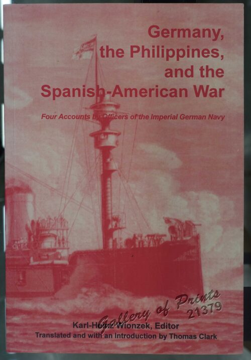
Germany, the Philippines, and the Spanish American War.
₱
440.00
Add to cart
Details
By The Seat of My Pants : Humorous Tales of Travel and Misa...
₱
1,200.00
Add to cart
Details
Foreign Babes in Beijing : Behind the Scenes of a New China
₱
1,200.00
Add to cart
Details
The Philippine Revolution in the Bicol Region Volume One (fr...
₱
1,500.00
Add to cart
Details
Previous
1
2
3
…
57
58
59
60
Shopping Cart
[Sketch of the Area Between San Nicolas to Bambang]
1
Ferdinand Magellanus. [portrait]
1
Philippine Islands. Anchorages in Northern Luzon and the Babuyan Islands. Insets: 1) Babuyan Is. - Fuga I. Musa Bay. From the United States Government Chart to 1931. 2) Babuyan Is. - Camiguin I. Port San Pio Quinto. From the United States Government Chart to 1931. 3) Luzon-North-East Coast Port San Vicente. From the United States Government Chart to 1938. 4) Luzon - East Coast Mauban Anchorage. From the Philippine Government Chart of 1957. 5) Luzon - West Coast. Salomague Harbour and Lapog Bay. From the United States Government Chart of 1934. 6) Luzon - West Coast Port Currimao and Gan Bay. From the United States Government Chart of 1934. 7) Luzon - West Coast Solvec Cove. From the United States Government Chart of 1934. 8) Luzon - West Coast Lingayen Gulf. Port Sual with Cabalitian Bay. From the United States Government Chart of 1922. 9) Luzon - West Coast San Fernando Harbour. From the United States Government Chart of 1936.
1
Cart
Checkout
Continue Shopping
3