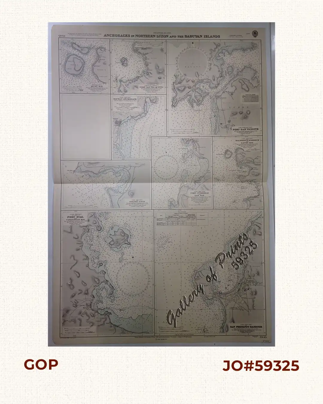
Philippine Islands. Anchorages in Northern Luzon and the Babuyan Islands. Insets: 1) Babuyan Is. – Fuga I. Musa Bay. From the United States Government Chart to 1931. 2) Babuyan Is. – Camiguin I. Port San Pio Quinto. From the United States Government Chart to 1931. 3) Luzon-North-East Coast Port San Vicente. From the United States Government Chart to 1938. 4) Luzon – East Coast Mauban Anchorage. From the Philippine Government Chart of 1957. 5) Luzon – West Coast. Salomague Harbour and Lapog Bay. From the United States Government Chart of 1934. 6) Luzon – West Coast Port Currimao and Gan Bay. From the United States Government Chart of 1934. 7) Luzon – West Coast Solvec Cove. From the United States Government Chart of 1934. 8) Luzon – West Coast Lingayen Gulf. Port Sual with Cabalitian Bay. From the United States Government Chart of 1922. 9) Luzon – West Coast San Fernando Harbour. From the United States Government Chart of 1936.
₱11,000.00
Author: not indicated
Publisher: Admiralty London, 6th Sept. 1940 under the Superintendence of Vice Admiral J.A.Edgell, C.B.,O.B.E., Hydrographer.
Year: 1964 [1940]
Size: 96.4 x 66.3 cm
1 in stock