")
")
")
")
Author: Edgardo J. Angara / José Maria A. Cariño / Sonia P. Ner
Publisher: privately published by Rural Empowerment Assistance and Development (READ) Foundation, Inc.
Year: 2009
Size: 38.9 x 29.5 cm, folio
Reference:
SOLD
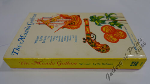
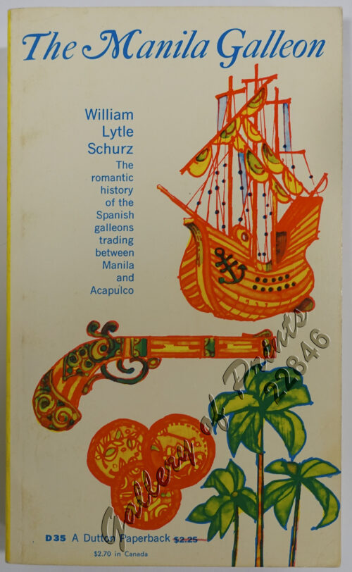
hardbound with dj, 304 pp with bibliography, index and appendix I & II, fully illustrated in color. OUT OF PRINT COLLECTOR’s ITEM. EXTREMELY RARE – As the first book to feature manuscript maps of the Philippines, it depicts the physical journey of the European cartographers of the Age of Enlightenment when they began to map the world in a time of discovery and conquest, leading to a cluster of numerous islands that was to be the pearl of the Orient seas. It is also a story of the journey of the artistic and political imagination, when the need for a cohesive national identity began to take shape as mapping of the Philippines became more comprehensive. Finally the book takes us to the present, when it seems the idea of territories has taken the place of terra incognita. This book traces the journey, to an extent literally and more so figuratively, of the mapping of the Philippines highlighting the manuscript maps that were made by the Spaniards during their initial exploration and subsequent occupation of the Philippines [text lifted from the book] large and heavy book – ca. 5 kgs. -much sought after and obtainable only at an exceedingly high price.
Like new.