
Prints
Showing 1873–1881 of 2056 resultsSorted by latest
-
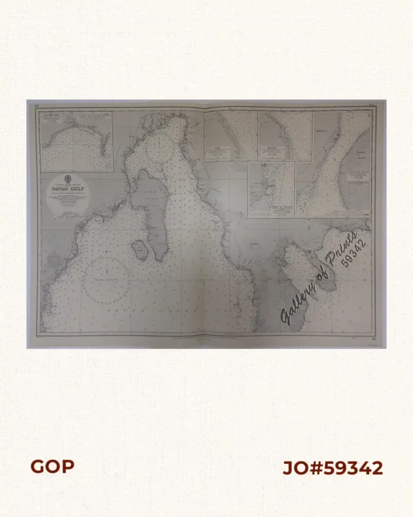
Philippine Islands – Mindanao. Davao Gulf. From the Philippine Government Charts to 1956. With additions and corrections to 1962. insets: 1) Talomo Bay. From U.S Government Chart of 1933. With additions and corrections to 1962. 2) Lais. From U.S Government Chart of 1933. With additions and corrections to 1962. 3) Malita. From U.S Government Chart of 1933. With additions and corrections to 1962. 4) Port of Davao. From the Philippine Government Chart of 1956. With additions and corrections to 1962. 5) Pakiputan Strait. From U.S Government Chart of 1933. With additions and corrections to 1962.
₱11,000.00 -
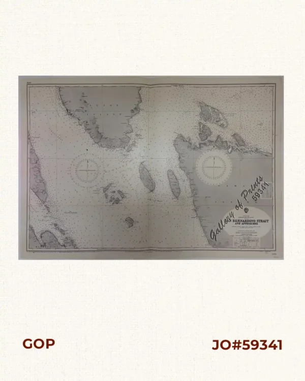
China Sea. Philippine Islands. San Bernardino Strait and Approaches. From the United States Coast Survey Charts to 1923. With Additions and corrections to 1934
₱11,000.00 -
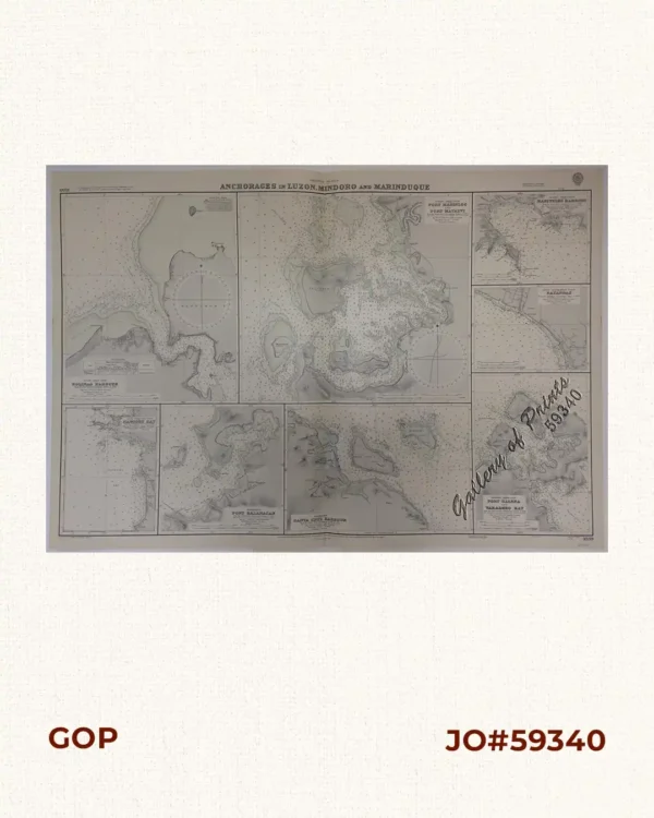
Anchorages of Luzon, Mindoro and Marinduque. insets: 1) Luzon – West Coast. Bolinao Harbour. From the United States Government Survey of 1904. With additions and corrections from Philippine Gov’t. Charts to 1964. 2) Luzon – West Coast. Port Masinloc and Port Matalvi. From the United States Government Surveys of 1937. With additions and corrections from Philippine Gov’t. Charts to 1964. 3) Luzon – West Coast. Mariveles Harbour. From the United States Government Chart of 1940. With additions and corrections from Philippine Gov’t. Charts to 1964. 4) Luzon – South – West Coast. Batangas. From the Philippine Government Chart of 1956. With additions and corrections to 1964. 5) Luzon – South – West Coast. Nasugbu Bay. From the Philippine Government Chart of 1956. 6) Marinduque. Port Balanacan. From the United States Government Survey of 1908. With additions and corrections from Philippine Gov’t. Charts to 1964. 7) Marinduque. Santa Cruz Harbour. From the United States Government Survey of 1908. With additions and corrections from Philippine Gov’t. Charts to 1964. 8) Mindoro – North Coast. Port Galera and Varadero Bay. From the United States Government Surveys to 1939. With additions and corrections from Philippine Gov’t. Charts to 1964.
₱11,000.00 -

Philippine Islands. Surigao Srait with Leyte Gulf and Hinatuan Passage. From the United States Government Charts to 1933. With addition and correctionsto 1954.
₱11,000.00 -
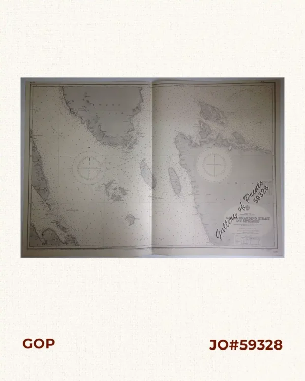
China Sea – Philippine Islands. San Bernardino Strait and Approaches. From the United States Coast Survey Charts to 1923. with additions and corrections to 1934.
₱11,000.00 -

Ports in the Philippine Islands. insets: 1) Luzon I. – West Coast. Manila and Cavite Anchorages. From the United States Government Chart of 1950. with additions and corrections to 1969. 2) Luzon I. – West Coast. Manila Harbour. From the United States Government Chart of 1950. with additions and corrections to 1969.
₱11,000.00 -
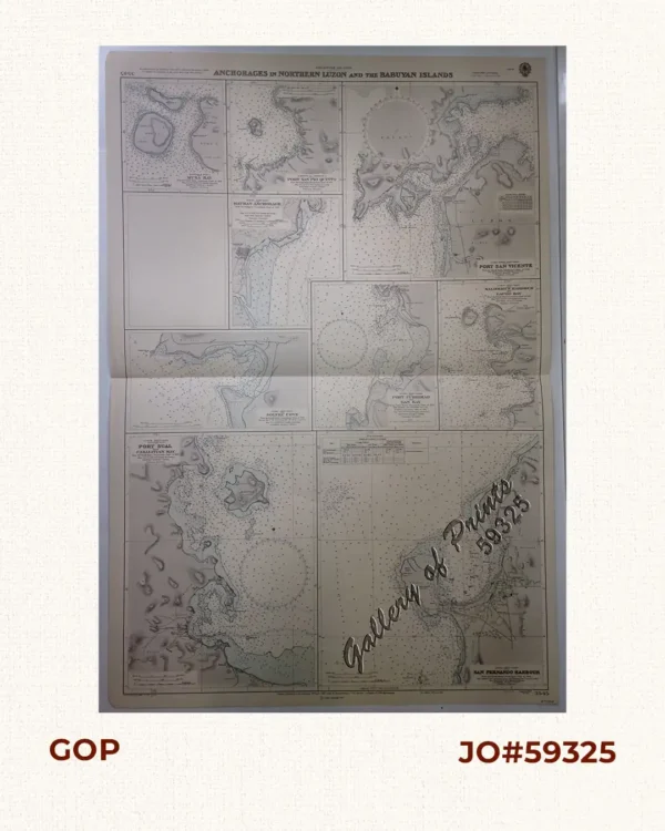
Philippine Islands. Anchorages in Northern Luzon and the Babuyan Islands. Insets: 1) Babuyan Is. – Fuga I. Musa Bay. From the United States Government Chart to 1931. 2) Babuyan Is. – Camiguin I. Port San Pio Quinto. From the United States Government Chart to 1931. 3) Luzon-North-East Coast Port San Vicente. From the United States Government Chart to 1938. 4) Luzon – East Coast Mauban Anchorage. From the Philippine Government Chart of 1957. 5) Luzon – West Coast. Salomague Harbour and Lapog Bay. From the United States Government Chart of 1934. 6) Luzon – West Coast Port Currimao and Gan Bay. From the United States Government Chart of 1934. 7) Luzon – West Coast Solvec Cove. From the United States Government Chart of 1934. 8) Luzon – West Coast Lingayen Gulf. Port Sual with Cabalitian Bay. From the United States Government Chart of 1922. 9) Luzon – West Coast San Fernando Harbour. From the United States Government Chart of 1936.
₱11,000.00 -
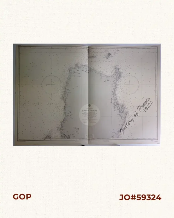
Philippine Islands. Luzon Island. North of Latitude 16° 20′ North. From the United States Cost Survey Charts to 1925.
₱11,000.00 -
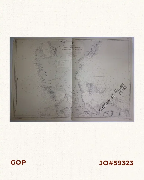
Philippine Islands. Luzon-West and East Coasts. Cabra I. to San Fernando Pt. and Diapitan B. to San Miguel B. From the United States Coast Survey Charts 1909-23. with additions and corrections to 1933.
₱11,000.00