Phone: +63 2 7729 8168 | Mobile: +63 917 806 4291

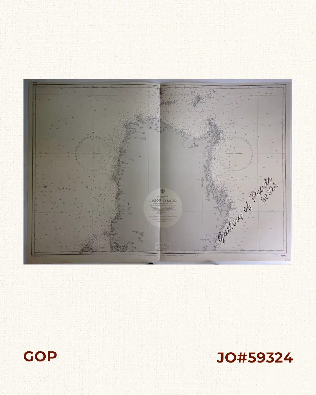
Philippine Islands. Luzon Island. North of Latitude 16° 20′ North. From the United States Cost Survey Charts to 1925.

11,000.00

Author: not indicated

Publisher: Admiralty London, 1st Dec. 1925 under the Superintendence of Captain H.P. Douglas,C.M.G., R.N., Hydrographer.

Year: 1963 [1925]

Size: 66.4 x 99.3 cm

1 in stock

Description

lithograph. Map#3805. New editions 15th Sept. 1939. Large corrections 24rd August 1963. Small corrections …1963, …1964,…1965…, Enamel 1963 – Z.8-63. Seal of the Hydrographic Office –  Sea Roses with 360 degrees in upper left and right on top of the title.
Condition

with folds as issued.

Shopping cart0
There are no products in the cart!
Continue shopping
0