Phone: +63 2 7729 8168 | Mobile: +63 917 806 4291

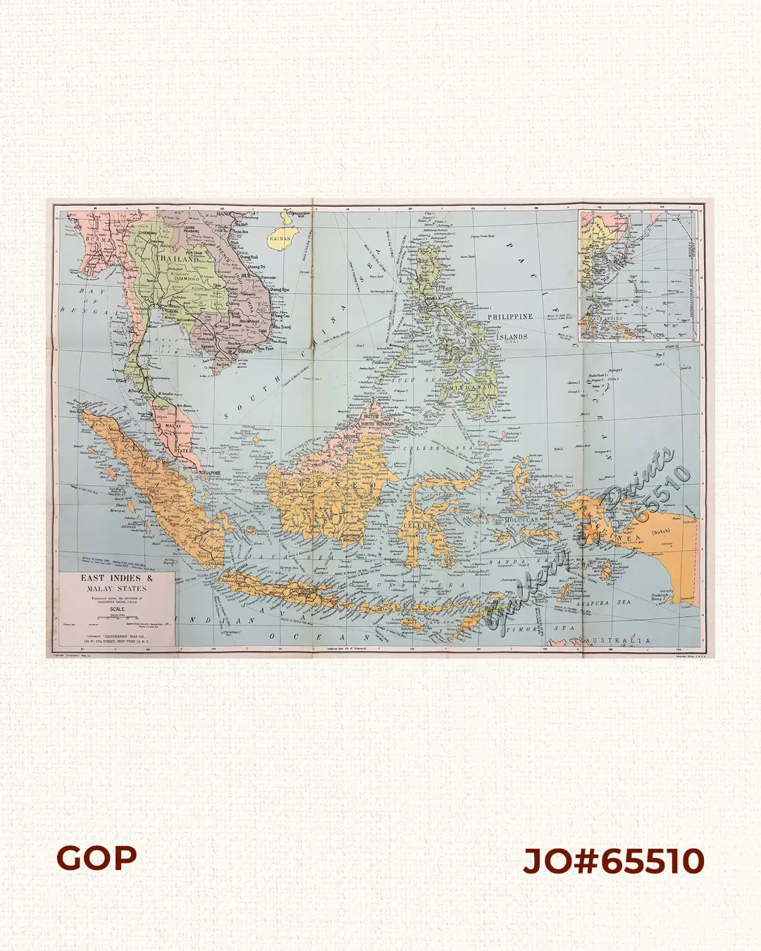
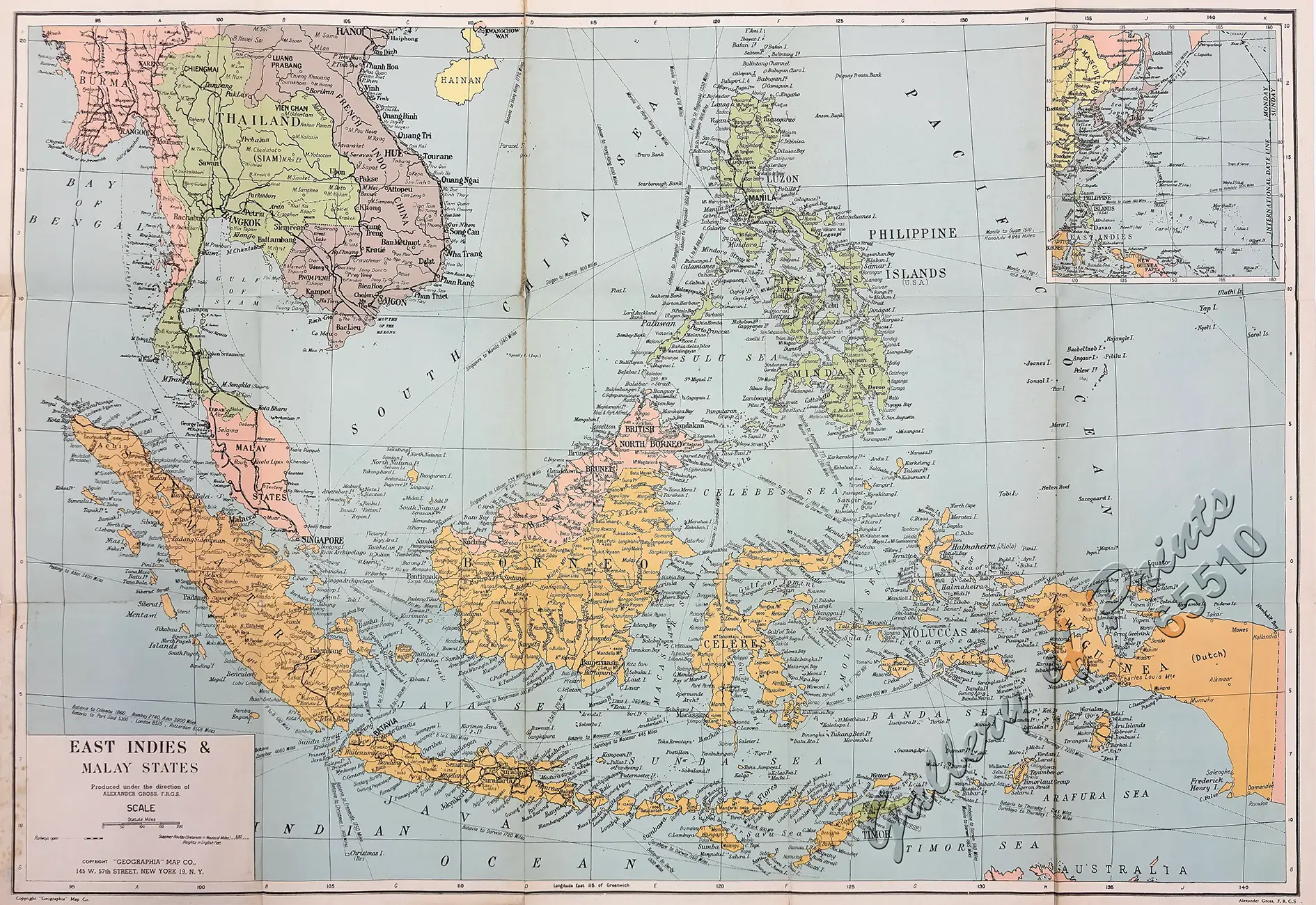
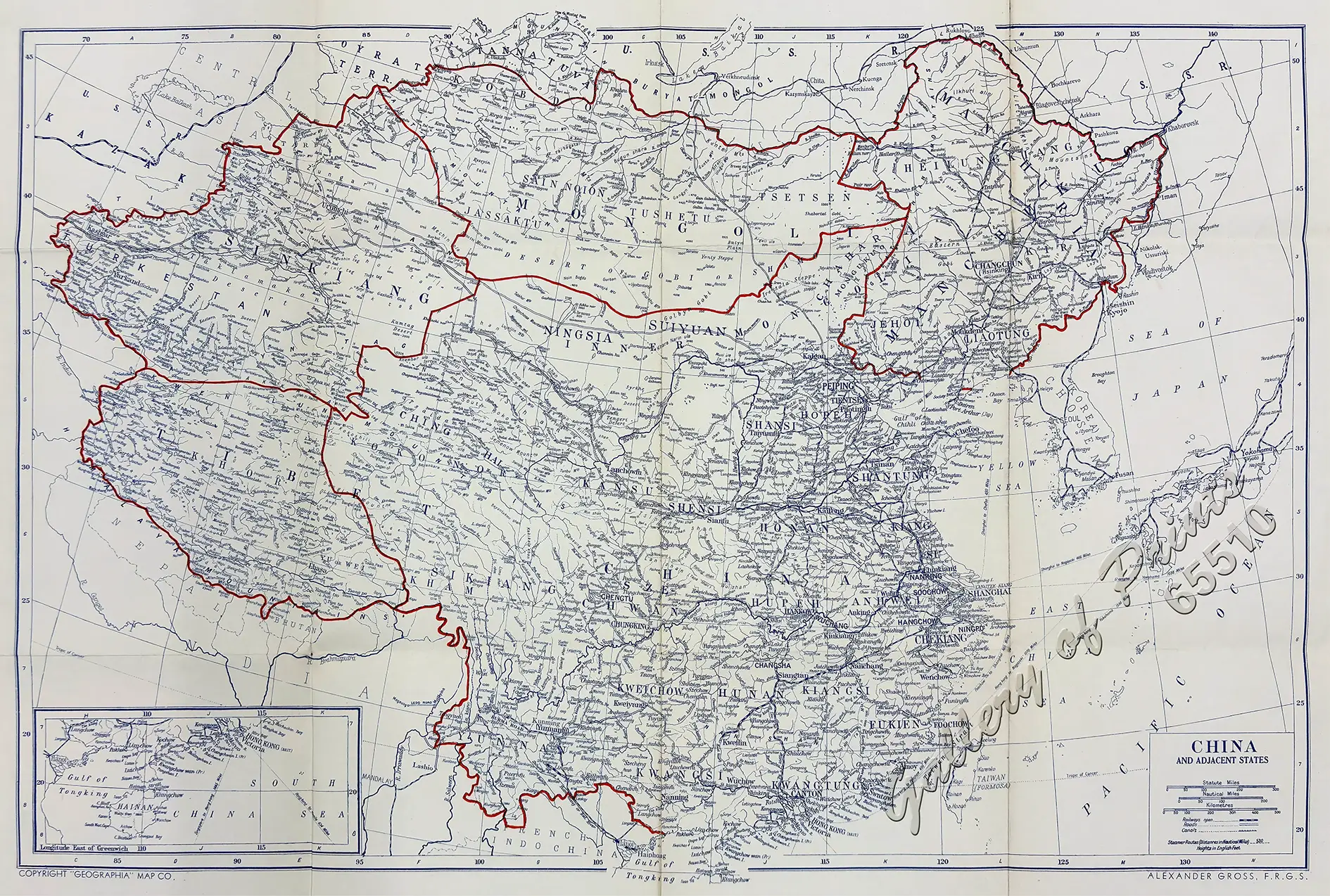
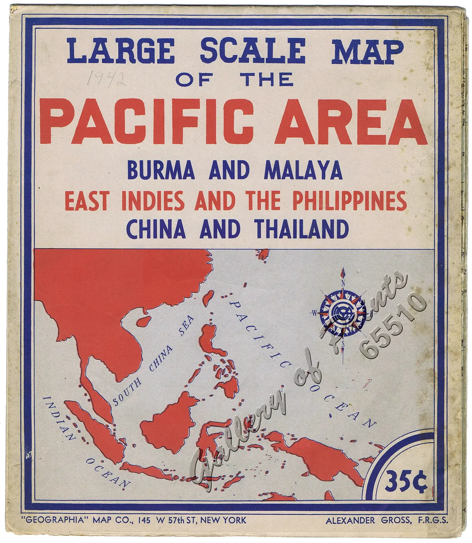
Large Scale Map of the Pacific Area, Burma and Malaya, East Indies and the Philippines, China and Thailand. [recto] East Indies & Malay States. [inset: Philippine Islands, East Indies, Japan] [verso] China and Adjacent States. [inset: South China Sea, Hong Kong, Hainan]

₱26,400.00

Author: Alexander Gross, F.R.G.S. [carto.]

Publisher: “Geographia” Map Co., New York.

Year: c1942

Size: 68.6 x 99.1 cm [paper], 23.2 x 20.2 cm [folded]; recto: 66.5 x 96.9 cm [map], 19.3 x 18 cm [inset]; verso: 49 x 73.5 cm [map], 8.3 x 18.8 cm [inset]

Reference:

1 in stock

Description

original-colour lithograph, no cover folded colour map.

EXTREMELY RARE and original World War II-era fold-out map by “Geographia” Map Co., New York. Produced under the direction of Alexander Gross, founder and cartographer for ‘Geographia’. Features detailed regional and political views of Burma, Malaya, the East Indies (Indonesia/Borneo), the Philippines, China, and Thailand.

Alexander Gross, F.R.G.S. (1879–1958) was a Hungarian-born British and American cartographer and map publisher. He founded the influential map publishing firms Geographia, Ltd. in London and the Geographia Map Company in New York.

Condition

with light edge wear, slight soiling on folds, with small image loss in “Sumatra Island”.

Shopping cart0
There are no products in the cart!
Continue shopping
0