Author: not indicated
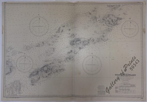
Publisher: Admiralty London, 18th October 1936 under the Superintendence of Rear-Admiral J.A.Edgell, C.B., O.B.E., Hydrographer.
Year: 1966 [1936]
Size: 66.2 x 118.9 cm
Reference:
₱11,000.00
In Stock
In Stock
lithograph. Map#3824. Large corrections 21st Feb. 1964. Small corrections 1964..1966… Z.1-64. Seal of the Hydrographic Office – 2 Sea Roses with 360 degrees.
with folds as issued.