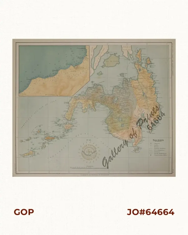
Description
original-colour photo lithograph. Map from ‘Harper’s Weekly’.

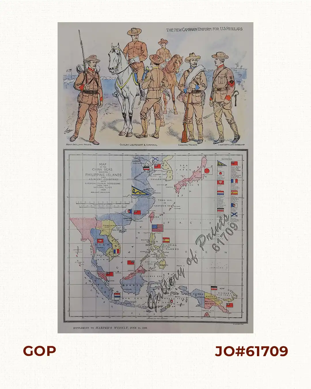
Author: Ogden / W. B. Duncan
Publisher: Harper & Brothers, New York.
Year: 1898
Size: 20.5 x 21.6 cm
original-colour photo lithograph. Map from ‘Harper’s Weekly’.
Very good to excellent condition.