
Antique Maps 41
Showing all 6 resultsSorted by latest
-

The Philipine Isles
₱77,000.00 -
![East India Archipelago [Western route to China. Chart No. 4] insets: 1) South-West Extremity of Palawan Island. 2) Ambong Bay & C. 3) Balambangan Island. 4) Bruni and Labouan. 5) Coastal Profile of Mt. Kini Balu. 6) Coastal profile of Sampadian I. 7) Coastal profile of Cape Sipang. 8) Coastal profile of Cape Datou. 9) Kudat Harbour.](https://www.gop.com.ph/wp-content/uploads/2018/09/JO60349-East-India-Archipelago-Chart-No.4-1898-scaled-1-600x750.webp)
East India Archipelago [Western route to China. Chart No. 4] insets: 1) South-W...
₱49,500.00 -

The Philipine Isles
₱61,600.00 -

Isole Filippine, Ladrones, e Moluccos o Isole delle Speziarie come anco Celebes ...
₱34,000.00 -
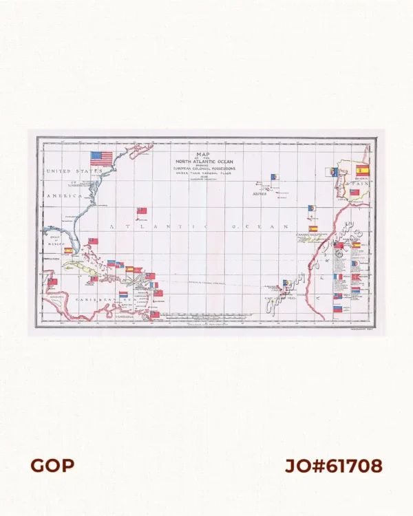
Map of the North Atlantic Ocean showing European Colonial Possessions under thei...
₱6,600.00 -

Map of the China Seas showing Philippine Islands and Adjacent Countries with Eur...