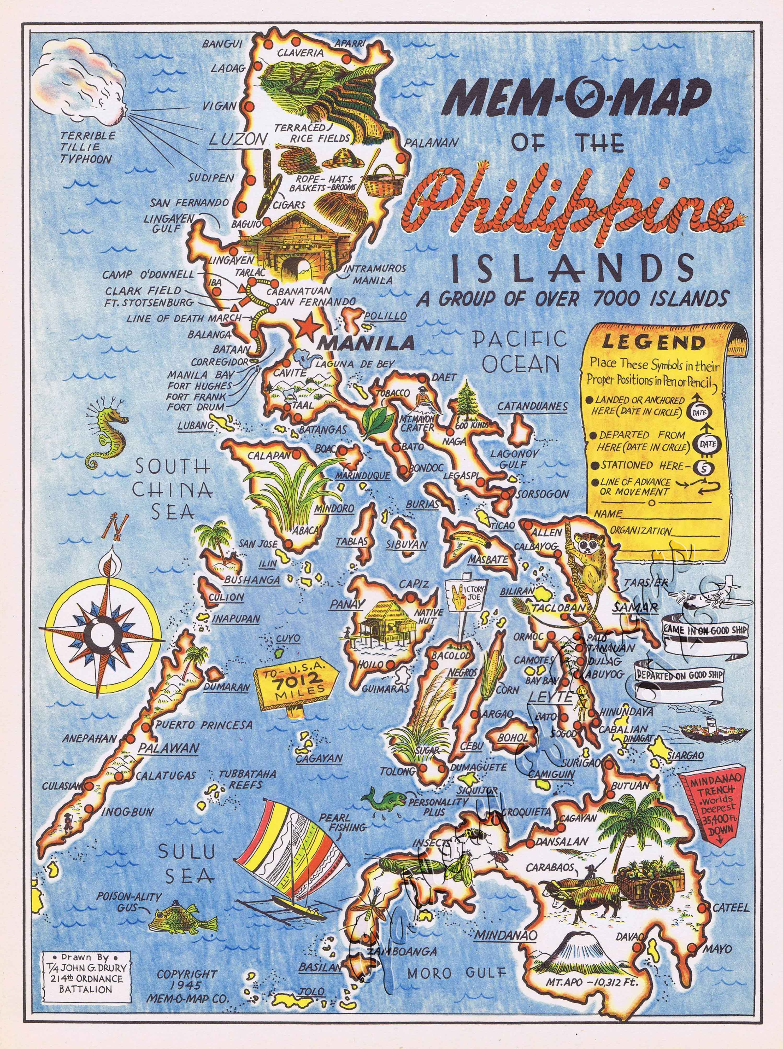
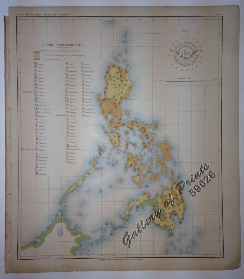
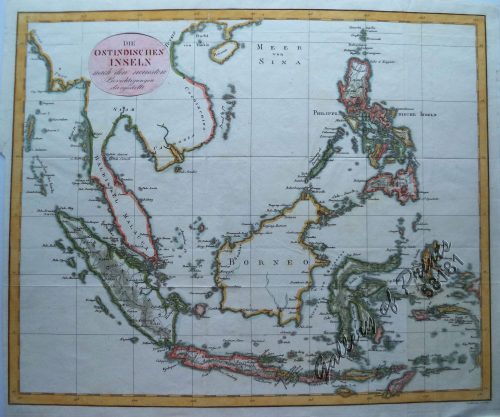
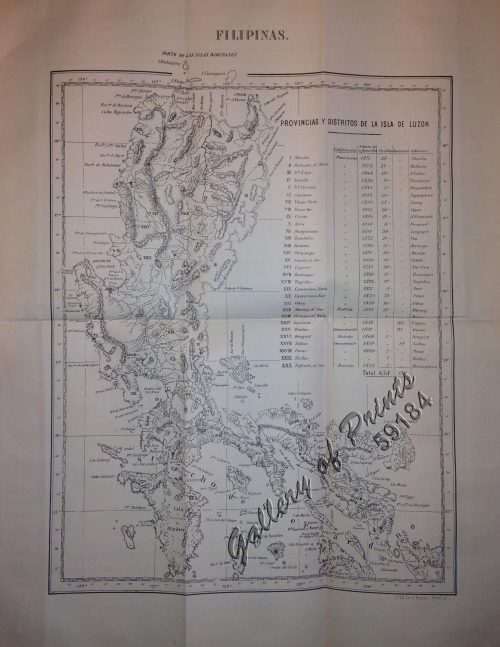
Mem-O-Map of the Philippine Islands.
₱13,200.00
In Stock
In Stock
Description
Coloured pictographic map.
VERY RARE map published by Mem-O-Map Co., Copyright 1945; drawn by T/4 John G. Drury of the 214th Ordnance Battalion, produced for military personnel during the Second World War. ‘Mem-O-Maps’ purpose was as a souvenir map on which troops could keep trace of their adventures and movements by inserting details into an area called “Legend”, like where and when they “landed or anchored” and where they stationed” while there. The maps represent an important historical period and integrate pictorial and geographical elements in a unique way. The use of cartoons and familiar map shapes used to show the conditions and experiences that the troops must have faced in reality, also shows memorable spots, wildlife and banners “came in on good ship” and “departed on good ship”.
Condition
Very good to excellent condition.

