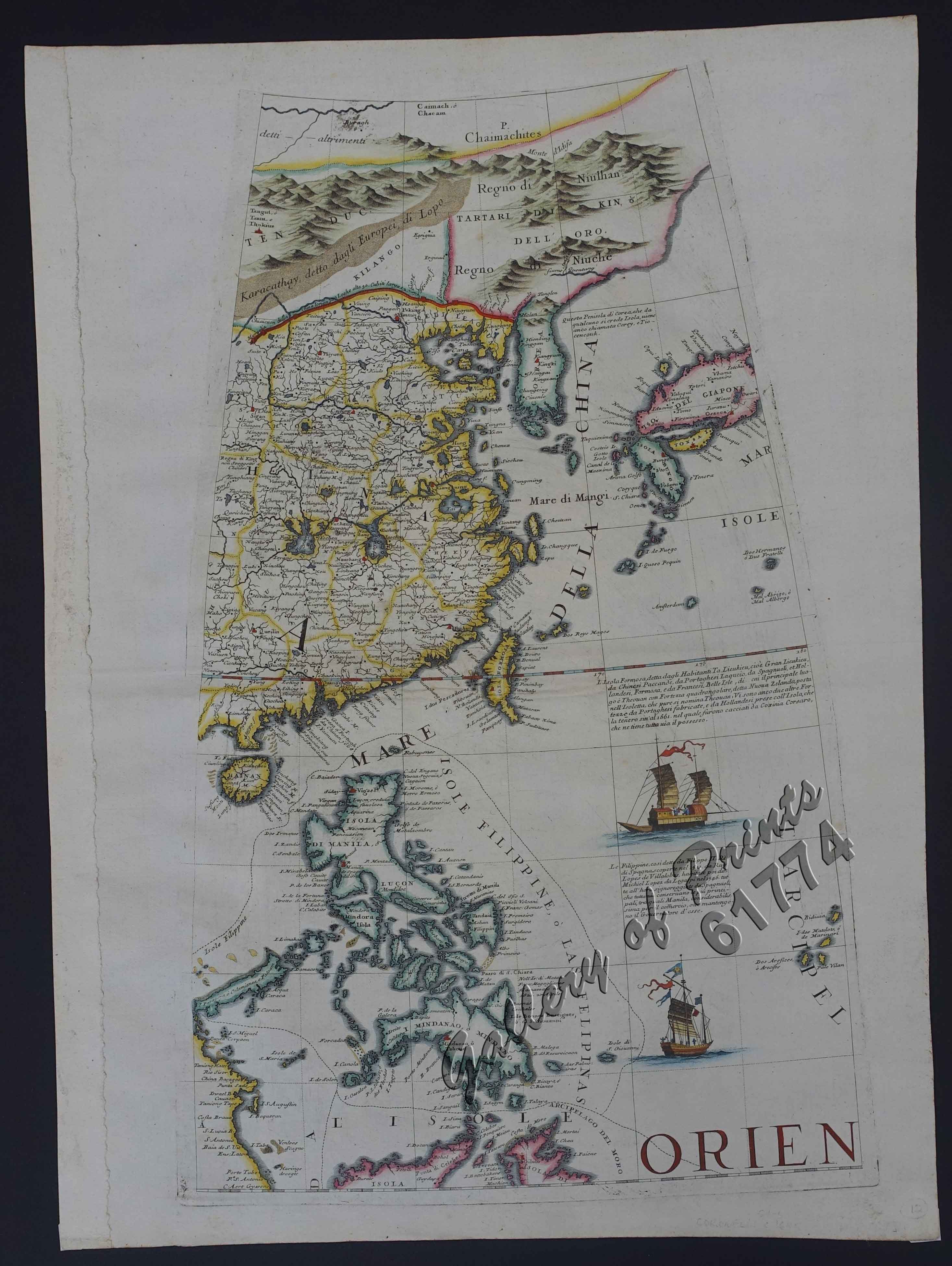
Indie Orientale [China, Korea, Philippines]
SOLD
Description
hand-coloured copper engraving. EXTREMELY RARE.
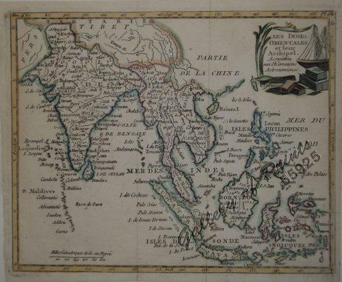
One of the extremely rare globe gores depicting different parts of the world, published in Venice; the map shows the region from Korea and Japan to Taiwan, Hainan and the Philippines including the China Sea/ West Philippine Sea including the disputed islands and shoals, and in Benham Rise, two large vessels and inscriptions on the history and discovery of Taiwan and the Philippines.
Globe Gore published in Venice, finely engraved.
This fine series of globe gores was originally engraved for a 110 cm. diameter terrestrial globe in 1688 – as here. They were subsequently reissued in individual sheet format in Coronelli’s “Libro dei globi” and in his World Atlas Isolario in the 1690s.
The first gore shows the region from the Bay og Bengal to Indochina and the Malay peninsula, the second China, with Korea and Western Japan and the Philippines, and the third Eastern Japan, Jeso and the Norther Islands with the Marianas to the south and much of the North Pacific Ocean.
The gores are beautifully embellished, the most easterly gore most so with vignettes of Dutch galleons, Japanese ceremonial barge and a myriad of native canoes and craft. Examples of Coronelli’s individual globe gores provide a unique and uncommon delineation of South East Asia and the Far East in the late 17th Century. Coronelli seems to have sought to omit nothing that might be of interest to geographers, navigators and explorers. There are an unusual number of legends, all explanatory and informative, but which never crowd the space available. Many of the vignettes of ships and fishing scenes throughout the world are worthy of separate reproduction. Coronelli makes comments on all the most important explorations and discoveries and undoubtedly had access to the findings of the French Academy of Sciences. The most interesting feature of the gores is the recording of the recent French explorations in North America. The Mississippi is marked, following La Salle’s journeys to its mouth in 1681-87, and the bordering territory is boldly marked ‘La Louisiana'” (Shirley)
Condition
Very good to excellent condition.

