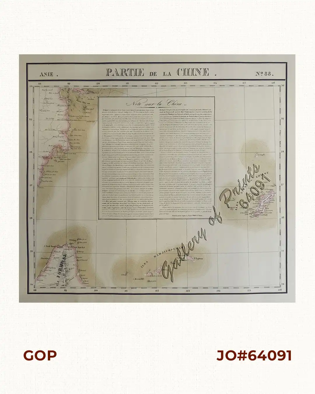
Description
RARE original hand-colour lithograph, text vignette on China, shows Northern Taiwan, Ryukyu Islands, Okinawa and Southern part of coast of province of Quangdong and part of Fujian. Map from ‘Atlas Universel de Geographie…’, (Asie no. 88). This 6 vol. Atlas contains 382 lithographed mapsheets and 40 plates of statistical data by Henri Ode (mostly hand-coloured in outline). The maps in the atlas constitute not only the first atlas of the world on a uniform scale, but also the first lithograph atlas. Constructed on a modified conical projection, if assembled, they form a 7,75 m diameter globe, although only one such was known to have been assembled, by the author himself, and requiring a specially designed room.