A New Map of the Philippine Islands, Drawn from the best Authorities

77,000.00

In Stock

In Stock

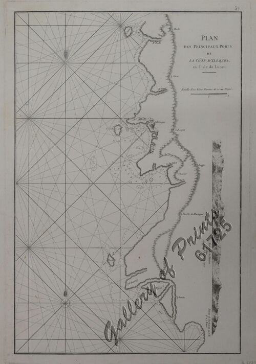
Author: Thomas Kitchin

Publisher: Tobias George Smollett, M.D. (1721-1771), London.

Year: 1765 [1763]

Size: 23.2 x 17 cm

Reference: UNRECORDED - not in Quirino; Lietz, Insulae Indiae Orientalis, 36th IMCoS Symposium Manila 2018, Gallery of Prints & Ayala Museum, p.32
SKU: 64267 Category: Tag:

Description

hand-coloured copper engraving.

EXTREMELY RARE map from “Continuation of the Complete History of England”. The book contains a contemporary description of the Philippines and the British Conquest of Manila with this supporting map engraved presicely during those occupational years. The map identifies Scarborough Shoal as “Panacot” and was used as part of the collection of antique maps submitted by the Philippines to UNICLOS (The United Nations Convention on the Law of the Sea.). Printed for James Rivington and James Fletcher Oxford-Theatre and R. Baldwin at the Rose, in Paternoster Row.

Condition

with folds as issued, very good condition.

Shopping Cart
Continue Shopping
9