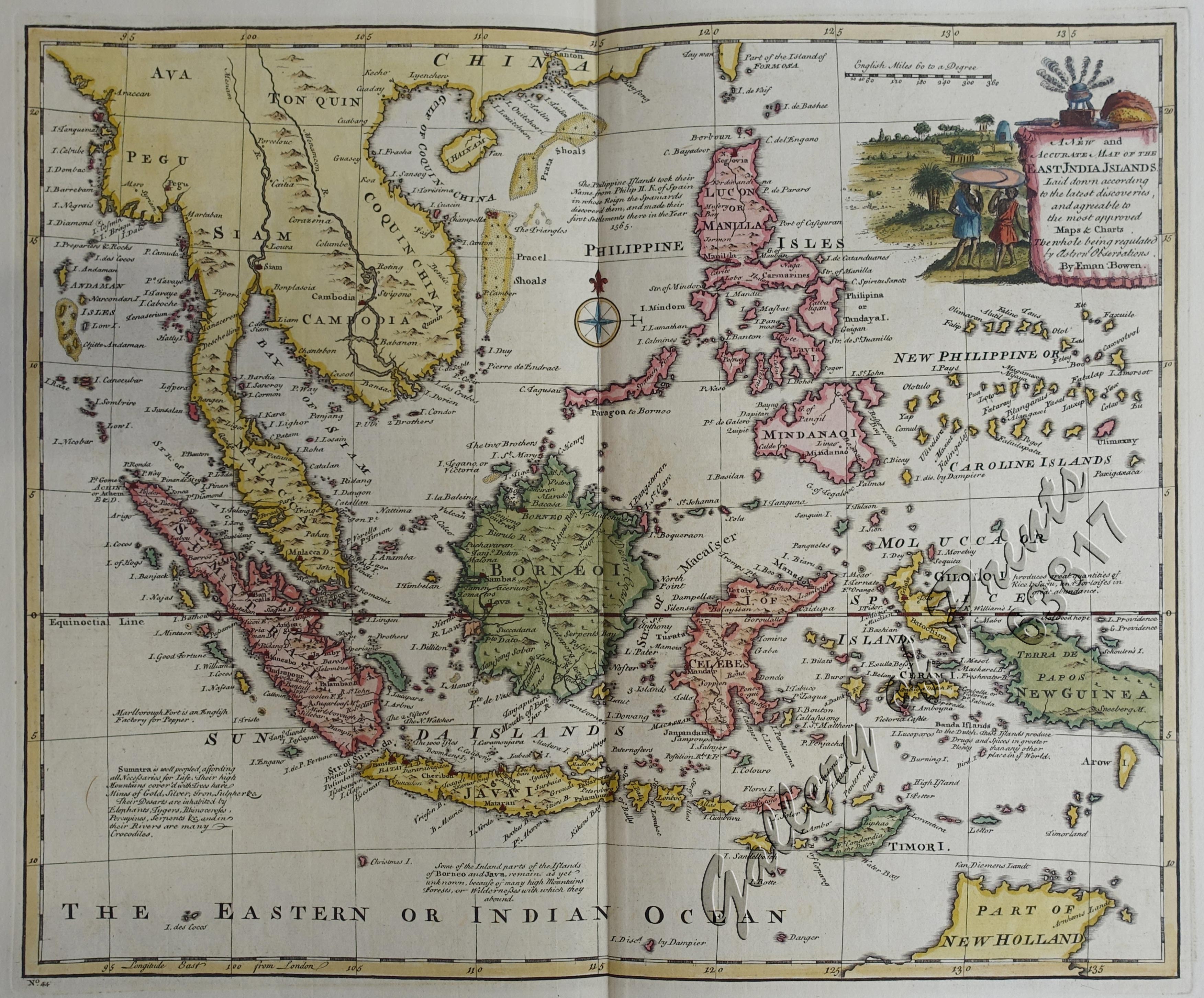
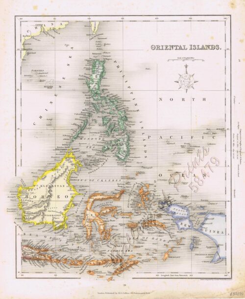
A New and Accurate Map of the East India Islands
SOLD
Author: Emanuel Bowen
Publisher: published in London.
Year: 1752 [1747]
Size: 34.5 x 42.4 cm
Reference: not in Quirino; Parry, The Cartography of the East Indian Islands, p.213
Description
hand-coloured copper engraving map from Emanuel Bowen’s “A Complete Atlas, or Distinct View of the Known World”; with plate number 44 (one of 3 variants).
Printed for William Innys, Richard Ware, Aaron Ward, J. And P. Knapton, John Clarke, T. Longman and T. Shewell, Thomas Osborne, Henry Whitridge… A strikingly beautiful map of the Philippines, Indonesia and Indochina, showing shoals, text inscriptions on various ocean areas, a sea rose and and elaborate cartouche.
Emanuel Bowen (1693[4]-1767) a British engraver and print seller, famous for his atlases and county maps, served as a mapmaker for King George II of England and King Louis XV of France. Both, Thomas Kitchin and Thomas Jefferys were trained by Bowen.

