
Prints
Showing 1864–1872 of 2056 resultsSorted by latest
-

Philippine Islands. Western Part of Mindanao Sea with Bohol Strait and Part of Tañon Strait. From the United States Government Charts to 1937.
₱13,200.00 -
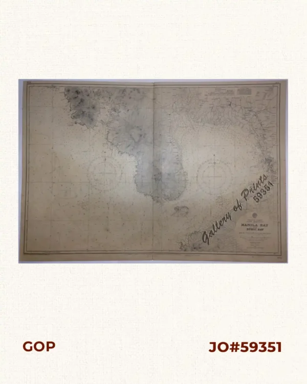
Philippine Islands. Luzon – West Coast. Manila Bay and Subic Bay. From the United States Coast Survey Chart of 1920. With additions and corrections to 1959.
-
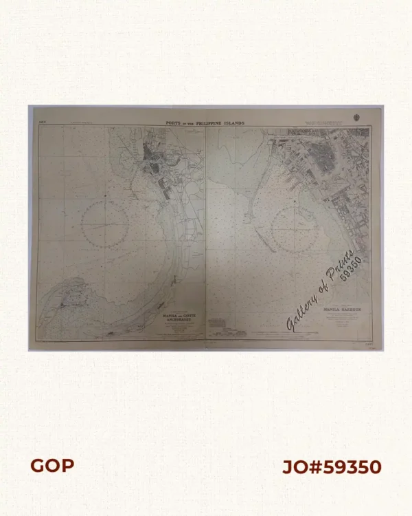
Ports in the Philippine Islands. insets: 1) Luzon I. – West Coast. Manila and Cavite Anchorages. From the United States Government Charts to 1950. With additions and corrections to 1959. 2) Luzon I. – West Coast. Manila Harbour. From the United States Government Charts to 1950. With additions and corrections to 1959.
₱13,200.00 -
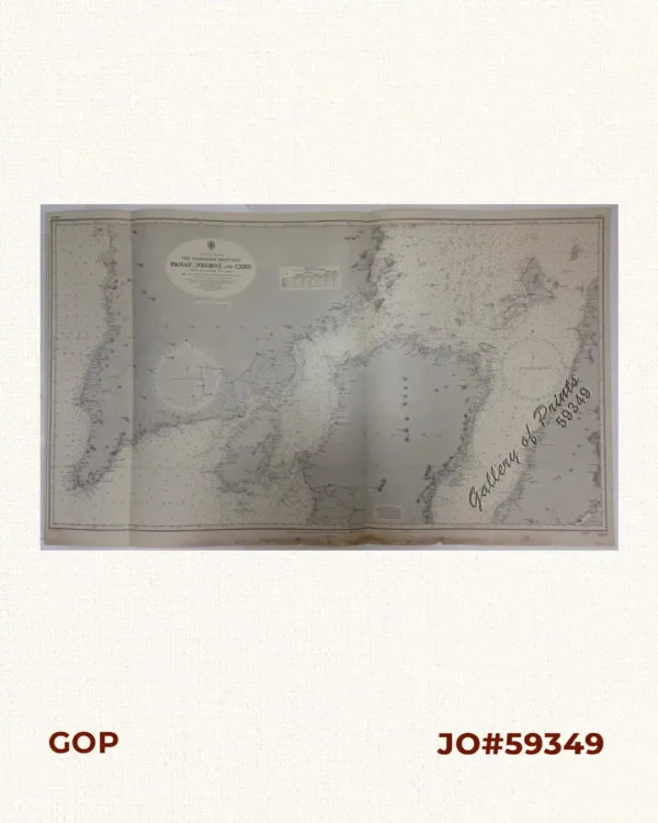
Philippine Islands. The Passages Between Panay, Negros and Cebu. North of Latitude 16° 17′ North. From the United States Government Charts to 1933. With corrections from Philippine Government Charts to 1963.
-
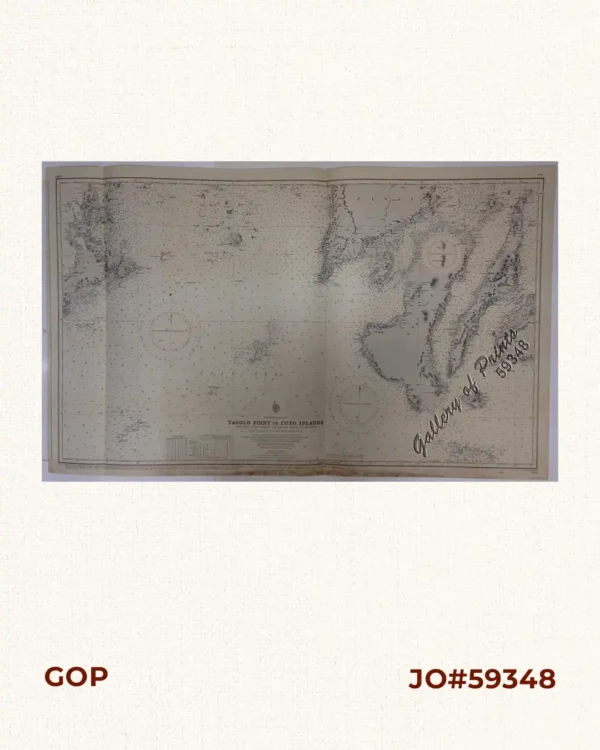
Philippine Islands. Tagolo Point to Cuyo Islands. Including Sebu , Negros and Parts of Panay and Palawan. From the United States Coast Survey Charts to 1923.
₱11,000.00 -
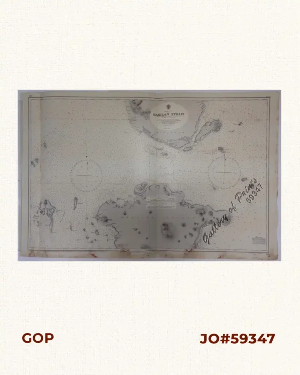
Philippine Islands. Basilan Strait. From the United States Government Charts to 1930. With additions and corrections to 1933.
-
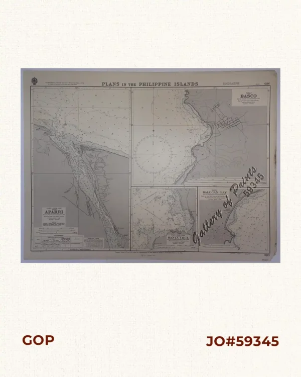
Plans in the Philippine Island. insets: 1) Luzon – North Coast. Aparri. From the Philippine Government Chart of 1954. 2) Bataan I. Basco. From the Philippine Government Chart of 1954. 3) Luzon – West Coast. Santa Cruz. From the Philippine Government Chart of 1952. 4) Bataan I. Balugan Bay. From the Philippine Government Chart of 1953.
₱11,000.00 -
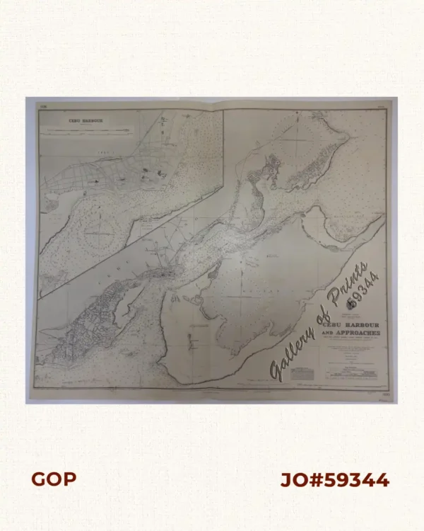
Philippine Islands. Cebu and Mactan. Cebu Harbour and Approaches. From the United States Coast Survey Charts to 1925. With additions and corrections from Philippine Government Charts to 1953.
-
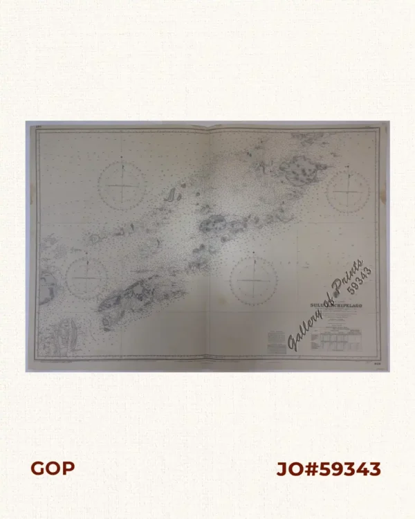
Philippine Islands. Sulu Archipelago. From the United States Government Charts to 1932. With additions and corrections to 1951.