Description
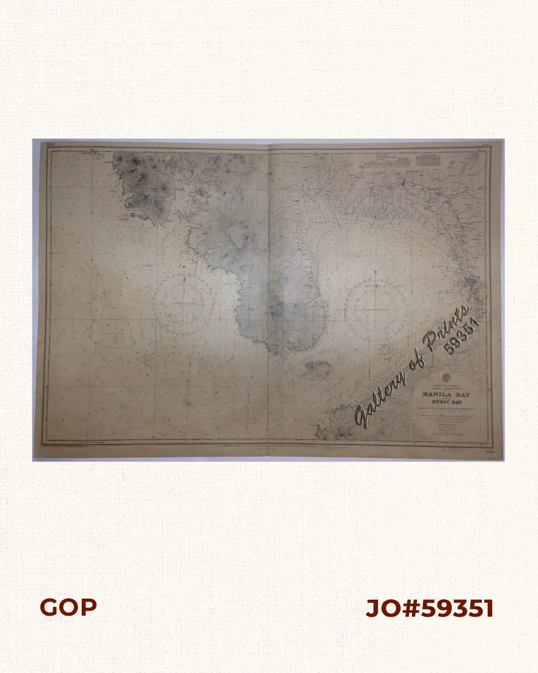
RARE LARGE ADMIRALTY lithograph. Map#976. Large corrections 3rd March 1950, 2nd Dec. 1960. Small corrections 1961 [many subsequent years stated till] 1963 – Z.11-60. Seal of the Hydrographic Office – 2 Sea Roses with 360 degrees.

Author: anonymous
Publisher: Admiralty London, 24th Oct. 1922 under the Superintendence Rear Admiral Fred k.C.Learmonth, C.B.,C.B.E., Hydrographer.
Year: 1963 [1922]
Size: 66 x 99 cm
RARE LARGE ADMIRALTY lithograph. Map#976. Large corrections 3rd March 1950, 2nd Dec. 1960. Small corrections 1961 [many subsequent years stated till] 1963 – Z.11-60. Seal of the Hydrographic Office – 2 Sea Roses with 360 degrees.
center fold breaks as issued, with heavy foxing affecting plate.