
Prints
Showing 1405–1413 of 2056 resultsSorted by latest
-
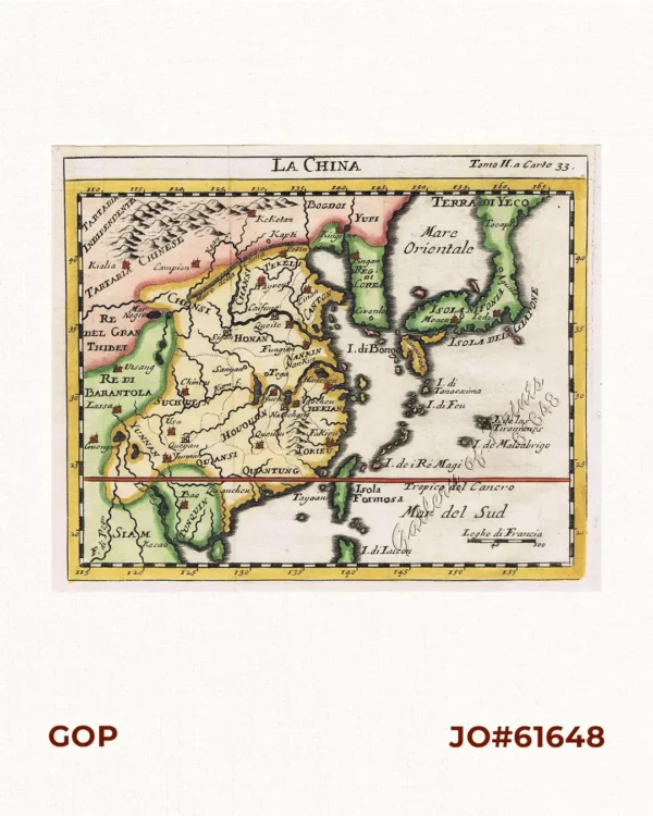
La China
₱26,400.00 -
![Fortsetzung der Karte von dem Morgenlændischen Ocean die Eylande Sonda die Küsten von Tunquin und China die Eylande Japon die Philippinischen und Molukkischen Eylande in sich enthaltend….1746 [Continuation of the Map of the Orient Ocean with the Sunda Islands, Tonkin and China, the islands of Japan, the Philippines and Molukkas…]](https://www.gop.com.ph/wp-content/uploads/2018/10/JO61652-Bellin-1748-Fortsetzung-der-Karte-vom-dem-Morgenlandischen-scaled-1-600x750.webp)
Fortsetzung der Karte von dem Morgenlændischen Ocean die Eylande Sonda die Küsten von Tunquin und China die Eylande Japon die Philippinischen und Molukkischen Eylande in sich enthaltend….1746 [Continuation of the Map of the Orient Ocean with the Sunda Islands, Tonkin and China, the islands of Japan, the Philippines and Molukkas…]
₱46,600.00 -
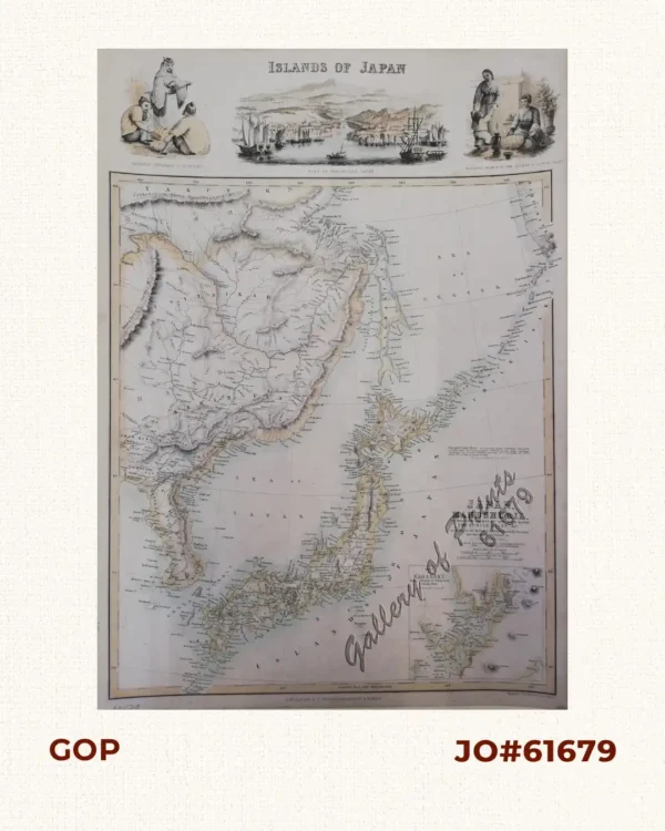
Islands of Japan. Japan, Mandshuria showing The Course of the Amur River… inset: Port of Nagasaki.
-
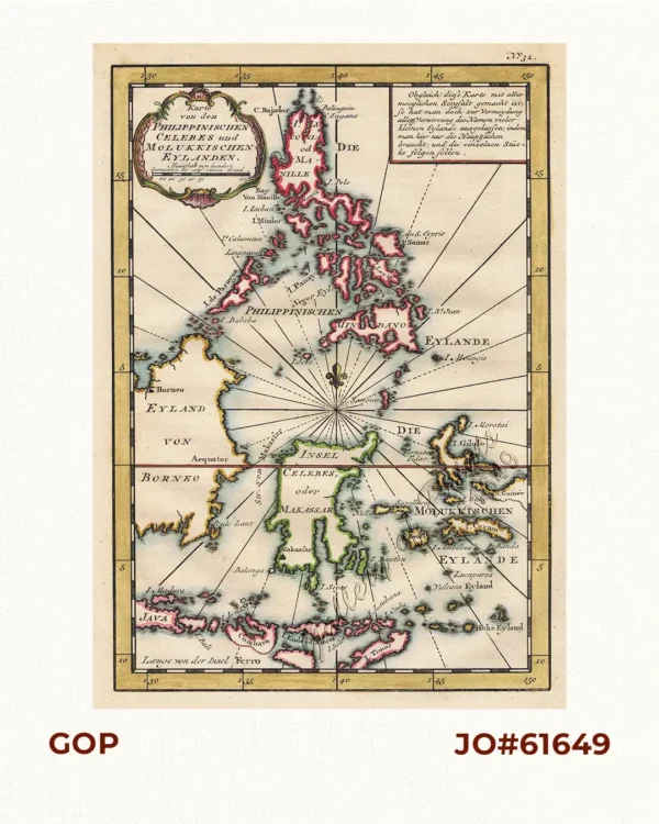
Karte von den Philippinischen Celebes und Molukkischen Eylanden
₱26,400.00 -

Spanien 1. Die Asiatischen Kolonien Die Philippinen. 2. Die Guineainseln
₱26,400.00 -

Progress Map of Signal Corps Telegraph Lines & Cables in the Military Division of the Philippines… corrected to July 1st, 1900.
₱26,400.00 -
![PHILIPPINES [SOVIET RUSSIAN MAP] 1:3 000 000. Second Edition. Main Department of Geodesy and Cartography under the USSR Council of Ministers. Moscow, 1967. insets: 1) Economic Map. Scale: 1-6 000 000; 2) Map of Peoples. Scale: 1-6 000 000; 3) Annual Rainfall. Scale: 1-10 000 000](https://www.gop.com.ph/wp-content/uploads/2018/09/jo61526-Russian-1967-Philippine-map-scaled-1-600x750.webp)
PHILIPPINES [SOVIET RUSSIAN MAP] 1:3 000 000. Second Edition. Main Department of Geodesy and Cartography under the USSR Council of Ministers. Moscow, 1967. insets: 1) Economic Map. Scale: 1-6 000 000; 2) Map of Peoples. Scale: 1-6 000 000; 3) Annual Rainfall. Scale: 1-10 000 000
-
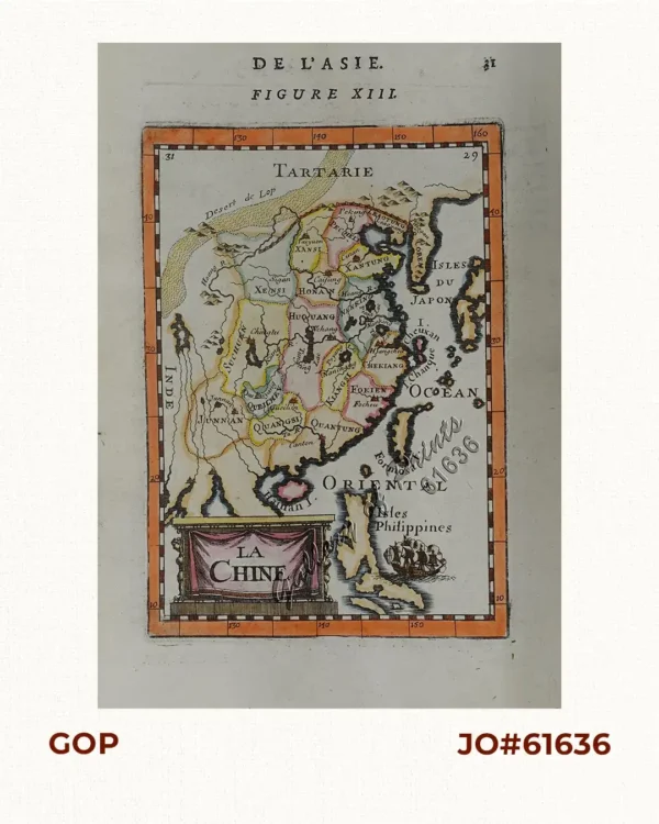
La Chine (China)
₱13,200.00 -
![East India Archipelago [Western route to China. Chart No. 4] insets: 1) South-West Extremity of Palawan Island. 2) Ambong Bay & C. 3) Balambangan Island. 4) Bruni and Labouan. 5) Coastal Profile of Mt. Kini Balu. 6) Coastal profile of Sampadian I. 7) Coastal profile of Cape Sipang. 8) Coastal profile of Cape Datou. 9) Kudat Harbour.](https://www.gop.com.ph/wp-content/uploads/2018/09/JO60349-East-India-Archipelago-Chart-No.4-1898-scaled-1-600x750.webp)
East India Archipelago [Western route to China. Chart No. 4] insets: 1) South-West Extremity of Palawan Island. 2) Ambong Bay & C. 3) Balambangan Island. 4) Bruni and Labouan. 5) Coastal Profile of Mt. Kini Balu. 6) Coastal profile of Sampadian I. 7) Coastal profile of Cape Sipang. 8) Coastal profile of Cape Datou. 9) Kudat Harbour.
₱49,500.00