Description
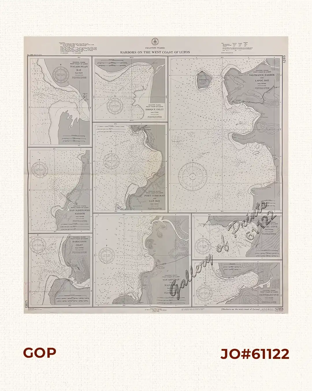
RARE collectible 1940 World War II lithograph map #4283, seachart published at Manila, P.I. June 1934 by the U.S. Coast and Geodetic Survey, Reissued Oct. 1940, L. O. Colbert, Director.
with stamp dated Sep 25 1944 and Oct 7 1944.
with “34 -6/20, 40-10/3, Special Printing at Wash. D. C. 42-10/1”

![Diez y Seis Años de Regencia (Maria Cristina de Hapsburgo-Lorena) [sic] (1885-1902) [Sixteen Years of Regency of Maria …]](https://www.gop.com.ph/wp-content/uploads/2024/04/JO12671-Alonzo-1914-Diez-y-Seis-Anos-de-Regencia-front-600x750.webp)

![Krautartige Baumwolle. Fig. 1528. [Herb-like Cotton]; Scwefelfarbener Hibisch. Fig. 1530. [Sulphur-colored Hibiscus]; Rosenartiger Hibisch.fig. 1531. [Rose-like Hibiscus]; Stacheliger Hibisch. Fig. 1532. [Thorny Hibiscus]; Gefingerter Hibisch. Fig. 1533. [Fingered Hibiscus]](https://www.gop.com.ph/wp-content/uploads/2015/06/JO58041-Petermann-1847-Botany-Gumamela-Philippines-600x750.webp)
![Prächtige Paradiesblume. Fig. 1170. [Magnificent Paradise flower]; Stachelige Parkinsonie. Fig. 1171. [Thorny Parkinson]; Westindisches Blutholz. Fig. 1172. [West Indian Bloodwood]; Vielstachelige Caesalpinie. Fig. 1173. [Many-thorned Caesalpinia]](https://www.gop.com.ph/wp-content/uploads/2015/06/JO58036-Petermann-1847-Botany-Philippines-600x750.webp)