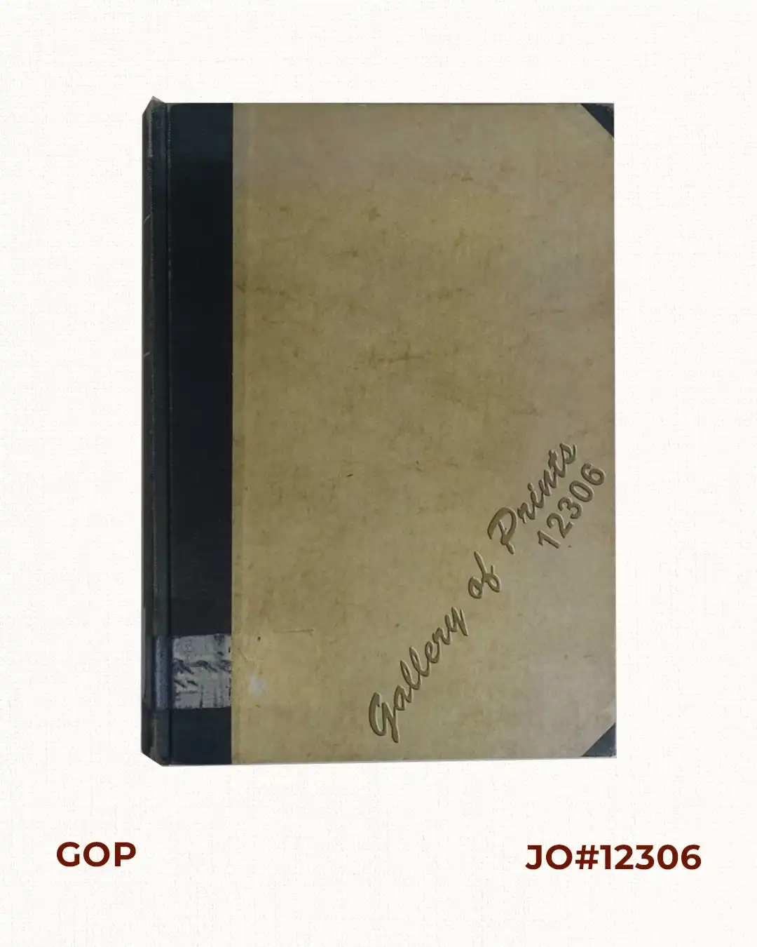
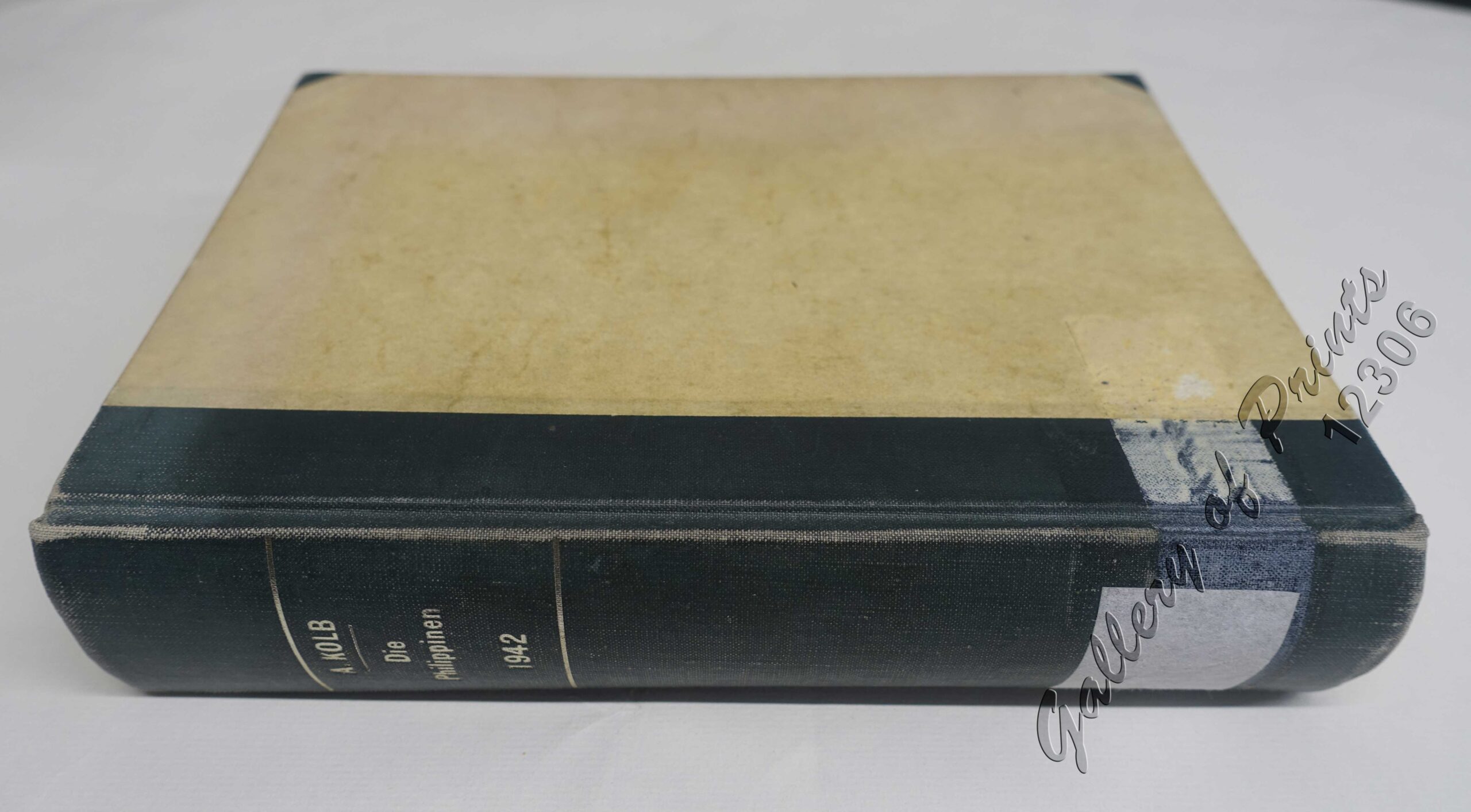
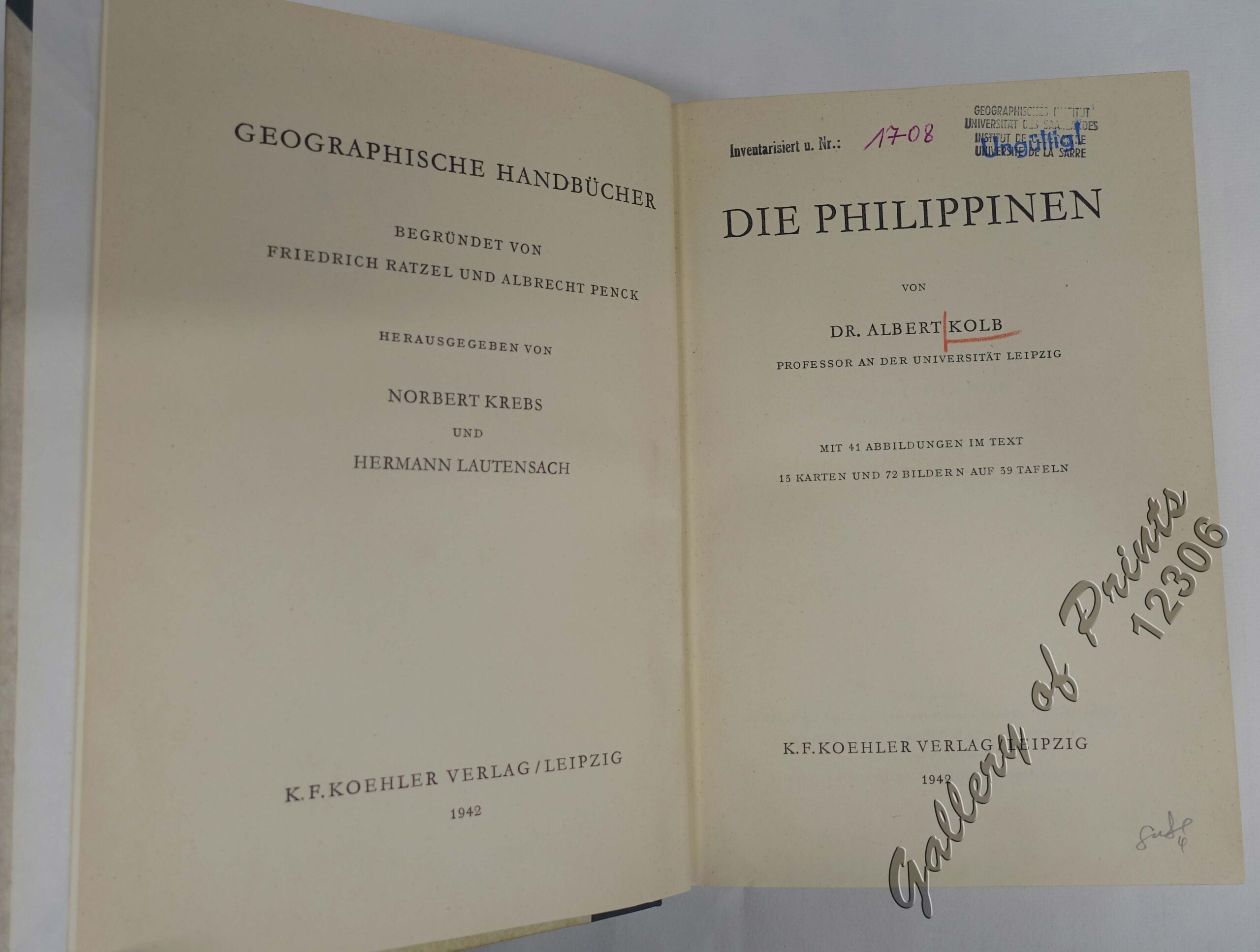
Description
hardbound, cloth spine, 503 pp., with 41 text illustrations, 13 maps, and 72 illustrations on 39 tables.
Kolb (1906-1990) then was a professor of the University of Leipzig. After World War II, he became Rector of the University of Hamburg.This is the most comprehensive Geographic Handbook of the Philippines in the German language todate and became the standard reference book for the next decades.

![Philippine Islands. A Detailed Map. by Robinson H. E. C. Pty. Ltd. [cartouche:] Philippine Is. Mercators Projection [inset: Southeast-Asia, China, Japan, Marianas Is., Australia]](https://www.gop.com.ph/wp-content/uploads/2025/05/JO64808-HEC-Robinson-c1940-Philippine-Islands-scaled-1-600x750.webp)
![AAF Cloth Chart - Philippine Series No. C-41, Mindoro Island [Mindoro & Palawan Islands, Sulu Sea] inset: [Palawan] No. C-42, Samar Island [VERSO] [South Luzon, Samar & Visayan Islands]](https://www.gop.com.ph/wp-content/uploads/2020/10/JO63133-Aeronautical-Chart-Service-1944-AAF-Cloth-Chart-Philippine-Series-Mindoro-Island-scaled-1-600x750.webp)