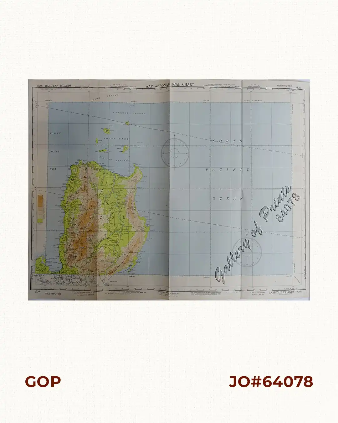
Description
original colour lithograph. EXTREMELY RARE. This WWII map depicts the northern portion of the Island of Luzon and the Babuyan channel. On verso, it shows the World Pilotage Chart Index, Aeronautical Symbols, Topographical Features, Hydrographic Features, Cultural and Miscellaneous Features etc.


![Islas de Infanta y Polillo pl. 12 [Quezon Prov., Polilio Is., Pananongan I., Jomalig I.]](https://www.gop.com.ph/wp-content/uploads/2023/08/JO62585-Algue-1900-Quezon-Province-Polilo-Jomalig-Patnanongan-scaled-1-600x750.webp)