Navigation
Showing all 6 resultsSorted by latest
-
The Varieties of Human Greatness. A Discourse on the Life and Character of the H...
₱11,000.00 -

The Life of Ferdinand Magellan and the First Circumnavigation of the Globe. 1480...
₱11,000.00 -
The Life of Ferdinand Magellan and the First Circumnavigation of the Globe. 1480...
-
![Meer Compass oder Wind=Rose. in 32 Wind abgetheilt. [Sea Compass or Wind Rose, Divided into 32 Wind Directions]](https://www.gop.com.ph/wp-content/uploads/2020/08/jo63094-Stocklein-1726-Meer-Compass-oder-WindRose-600x750.webp)
Meer Compass oder Wind=Rose. in 32 Wind abgetheilt. [Sea Compass or Wind Rose, ...
-
Nasographische Kurskarte zur…
-
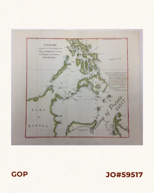
A Chart designed to show the Navigation of the Ships of Magalhanes among the Phi...