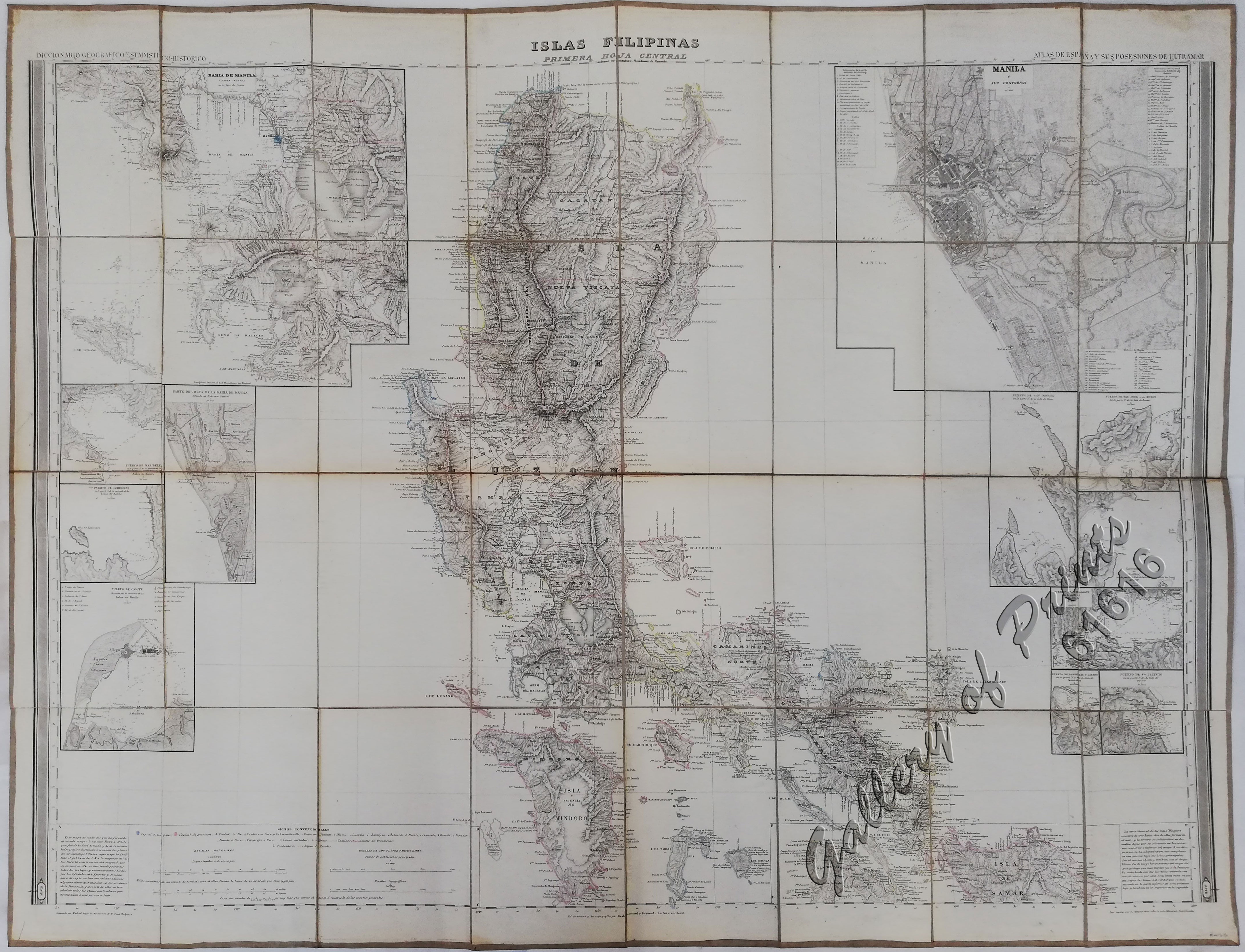
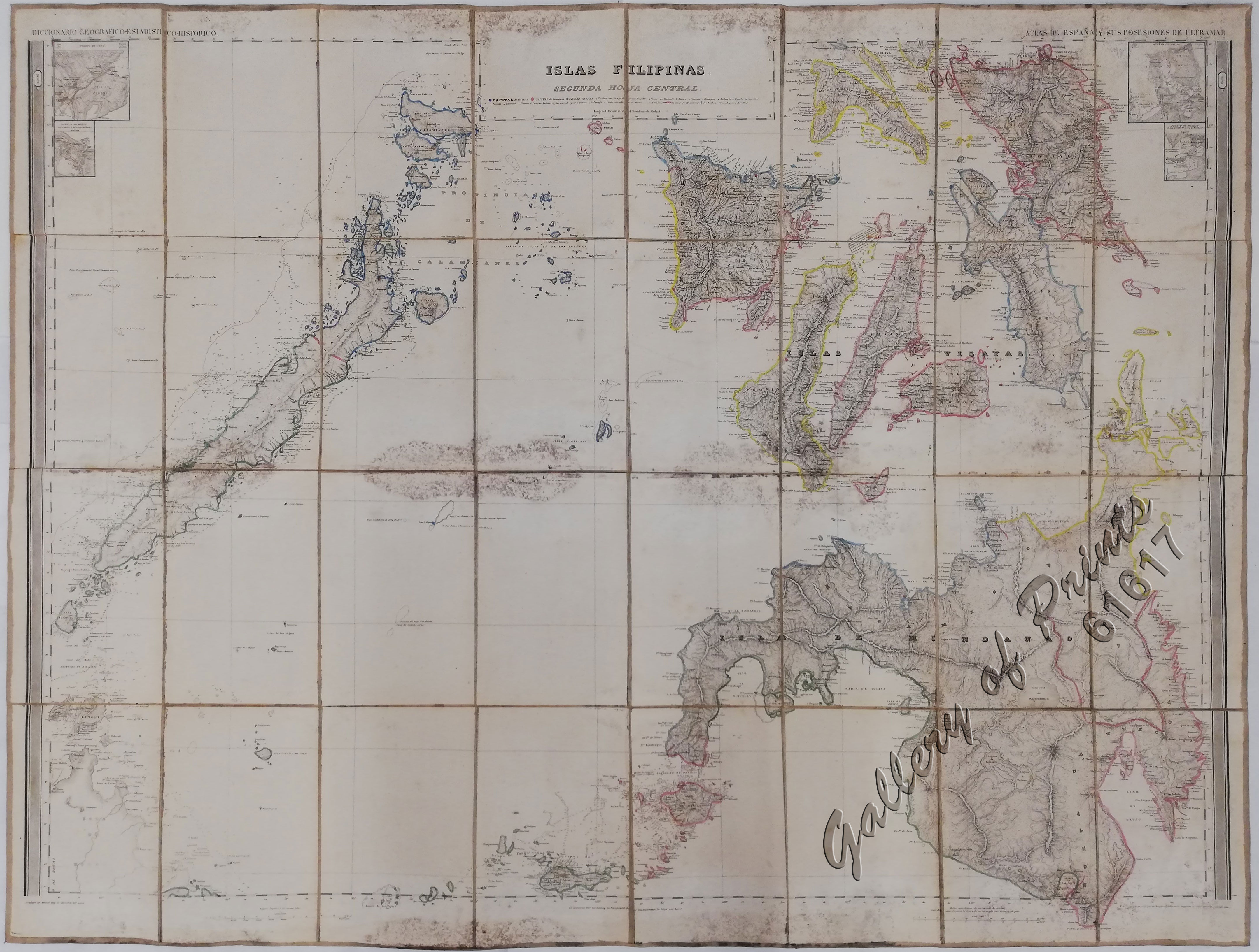
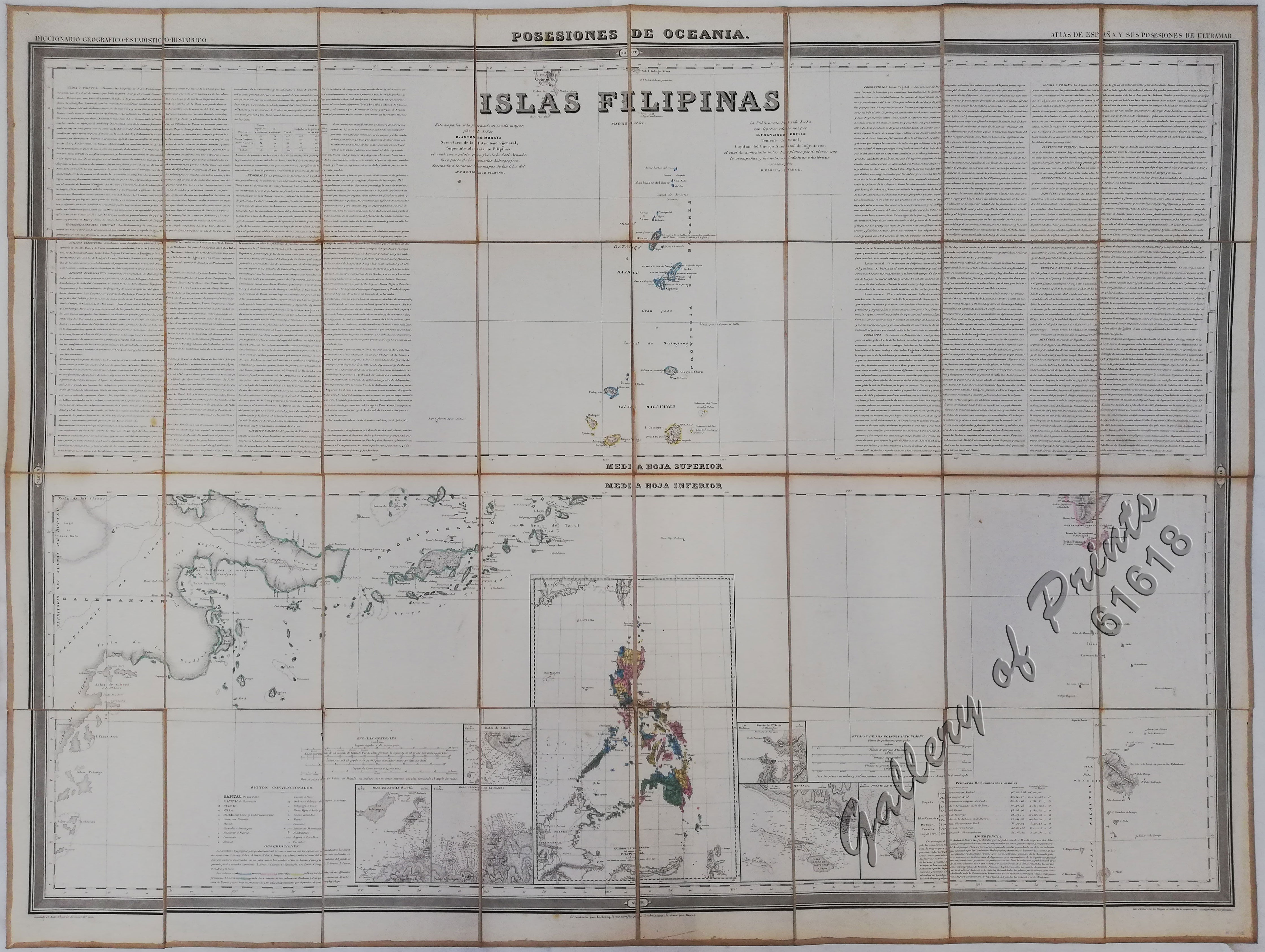
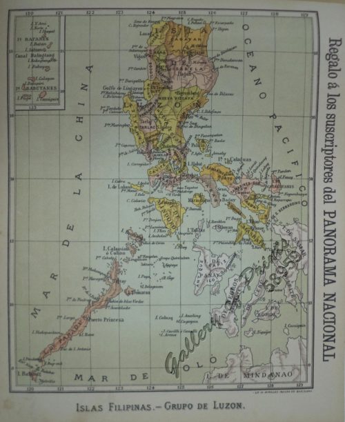
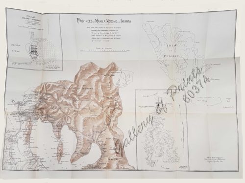
1) Islas Filipinas: Primera Hoja Central; 2) Islas Filipinas: Segunda Hoja Central; 3) Posesiones de Ultramar (Oceania) – Islas Filipinas
₱99,000.00
In Stock
In Stock
Description
Complete set of 3 maps of the Philippines.
Original outline-colour engraving, sectionalised, folded to pocket size 8vo) (mounted on linen in slipcase).
First central sheet (Primera hoja central): Centred on Luzon and Mindoro, with focuses on the city of Manila, Manila Bay, the city of Cavite and the most important ports of Bicol.
Second central sheet (Segunda hoja central): Centered on Palawan, Calamianes, the Bisayan Islands, Mindanao and Isabela; Between the coastline, the port of Cebu.
Philippine Islands (Posesiones de Oceanía): This map depicts the extreme Northern Philippines: the Batanes and the Babuyan Islands and the extreme Southern Philippines: the Sulu Islands. The north of Borneo and the island of Sanguir are also shown, with spotlights on the ports of Zamboanga, Isabela and Baras, and the map of the Philippines in full original colour.
Francisco Coello de Portugal y Quesada (1822-1898) was a distinguished Spanish cartographer and military luminary whose passion for exploration and precision mapping left an indelible mark on history. A graduate of the prestigious Academia de Ingenieros de Guadalajara, he rose to the rank of Lieutenant Colonel in the Spanish Corps of Engineers. He founded the Sociedad Geográfica de Madrid in 1876, which evolved into the Real Sociedad Geográfica de España (Royal Geographic Society of Spain).
Coello’s magnum opus is the stunning atlas of Spain’s overseas territories, published in Madrid between 1848 and 1869 as a complement to Pascual Madoz’s ‘Diccionario Geográfico Estadístico Histórico’. Only 45 of the originally intended 65 maps were finished – all with great scientific detail, folded and in pocket-size slipcases.
Among his masterpieces are these 3 monumental maps of the Philippines on the – some of the largest ever published. These maps excel through intricate insets of key ports, superbly depicting topography, towns, anchorages, depth soundings, and navigational hazards.
Spanish Contributors were:
Antonio Morata (1806-1870) was the artist who drew the original maps
Juan Noguera (fl. 1835-1870) was one of the draftsmen and engravers
Pascual Madoz (fl. 1850-1880) wrote all the statistical and historical notes
French Contributors were:
Charles Leclercq (fl. 1825-1873), also known as Carlos Leclercq, as the main map engraver
Pierre Adolphe Bacot (fl. 1851-1888), also known as Pedro Bacot as the letter engraver
Edouard Desbuissons (1827-1908), as a map maker and engraver
Decorbie (fl. 1830-1851), as a map maker
This is undoubtedly the most influential map of the Philippines printed during the 19th C., and it was allegedly used during Treaty negotiations in the wars (1898-1902) against Spain and the US. Due to its unprecedented size and wealth of details, this creation is considered the greatest scientific improvement in cartography of the 19th C. over the 1734 Murillo Velarde map.
Condition
1) slight browning on horizontal centerfold, blind stamp on lower right margin, relatively heavy, with linen shows foxing, with dirt spot on covering board opening.
2) some dirt on verso linen, not affecting map.
3) slight browning on horizontal centerfold, blind stamp on lower right margin, relatively heavy, with linen shows foxing, with dirt spot on covering board opening.

