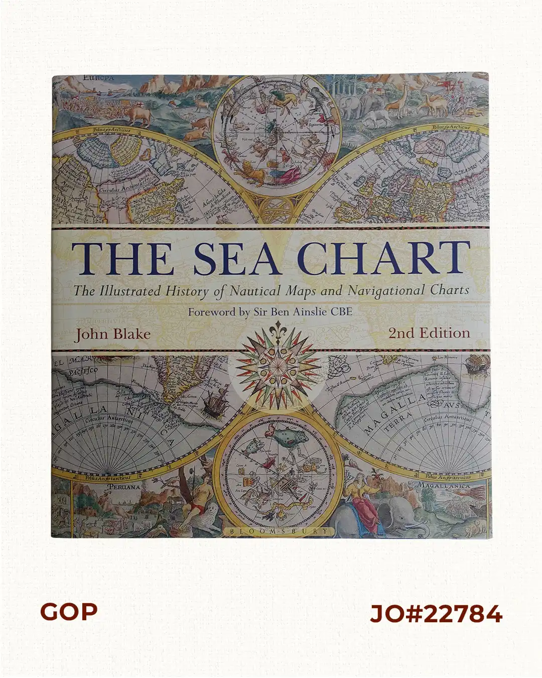
Description
hardbound, 191 pp. with index, with dust-jacket fully illustrated in colour. ISBN: 978-1-8448-6314-3.
2nd edition. First published in 2004 by Conway Maritime Press. This book looks at the history and development of the chart and the related nautical map, in both scientific and aesthetic terms, as a means of safe and accurate seaborne navigation. The Italian merchant-venturers of the early 13th century developed the earliest ‘portulan’ pilot charts of the Mediterranean. The subsequent speed of exploration by European seafarers, encompassing the New World, the extraordinary voyages around the Cape of Good Hope and the opening up of the trade to the East, India and the Spice Islands were both a result of the development of the sea chart and additionally as an aid to that development. By the 18th century the discovery and charting of the coasts and oceans of the globe had become a strategic naval and commercial requirement. Such involvements led to Cook’s voyages in the Pacific, the search for the Northwest Passage and races to the Arctic and Antarctic.