Description
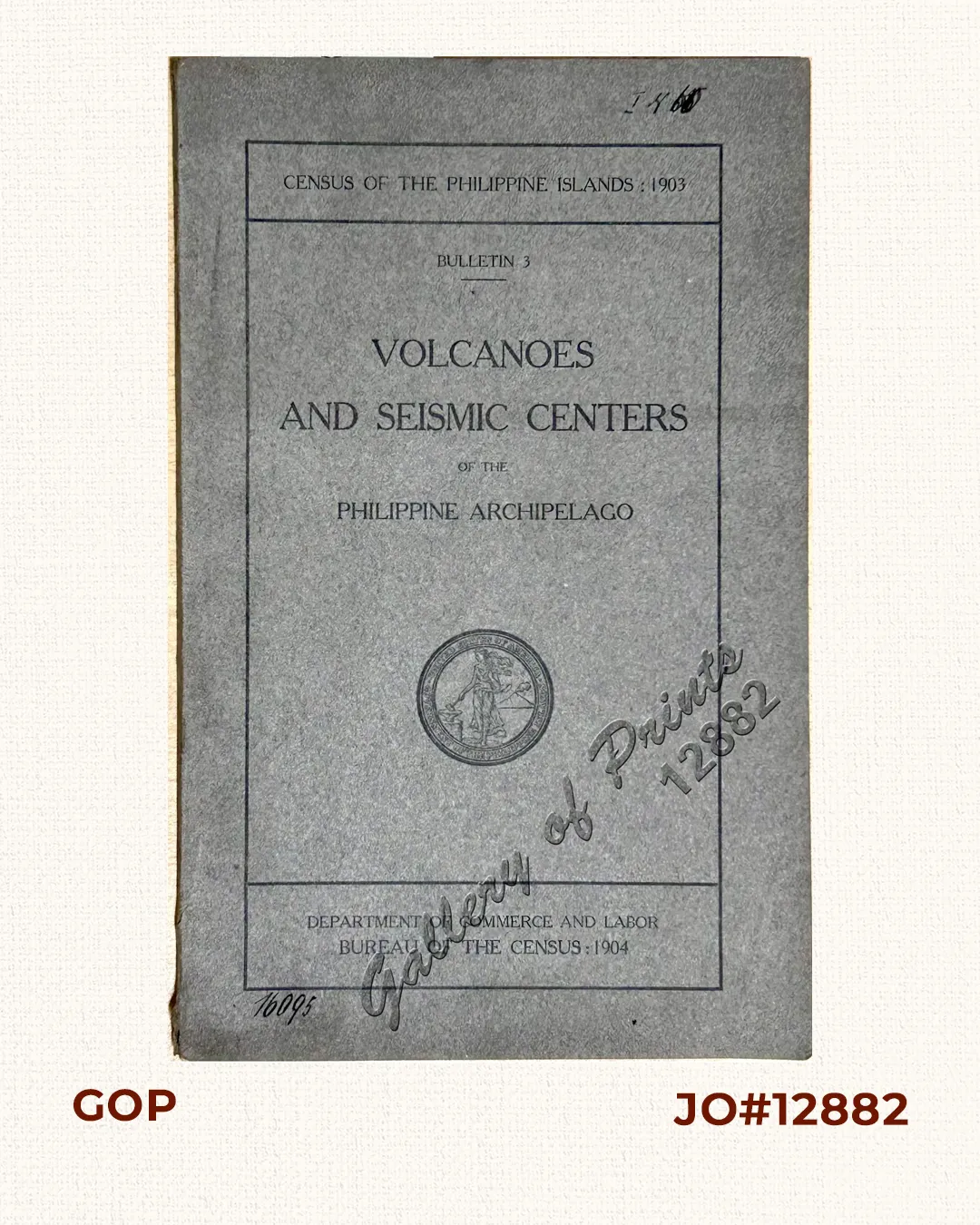
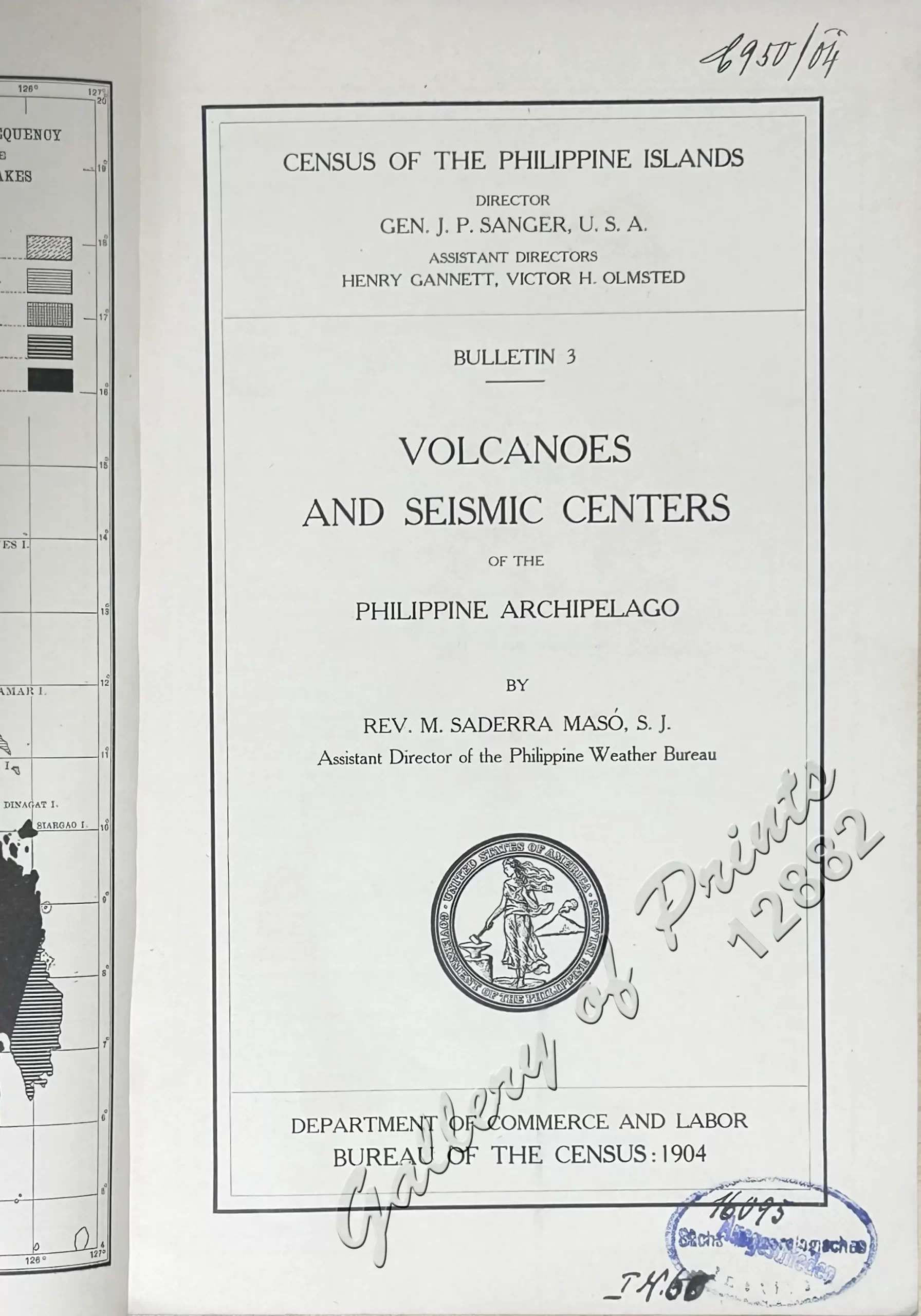
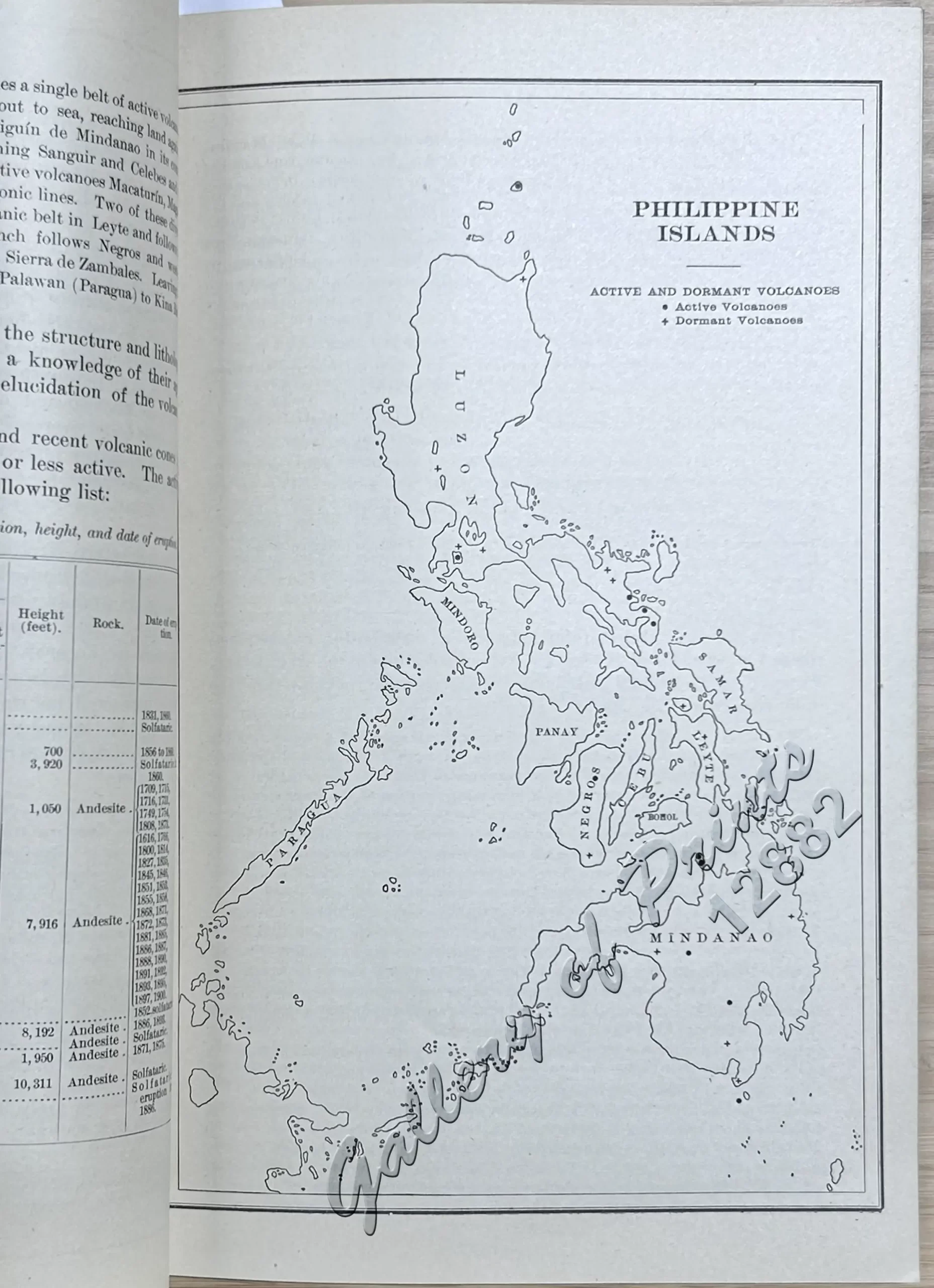
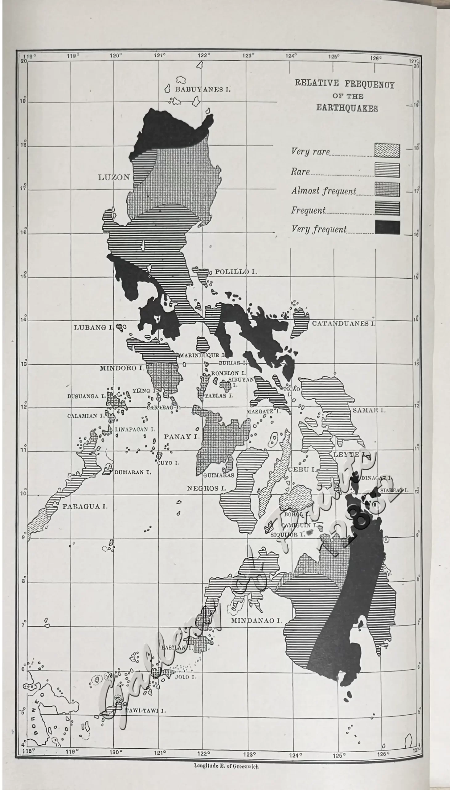
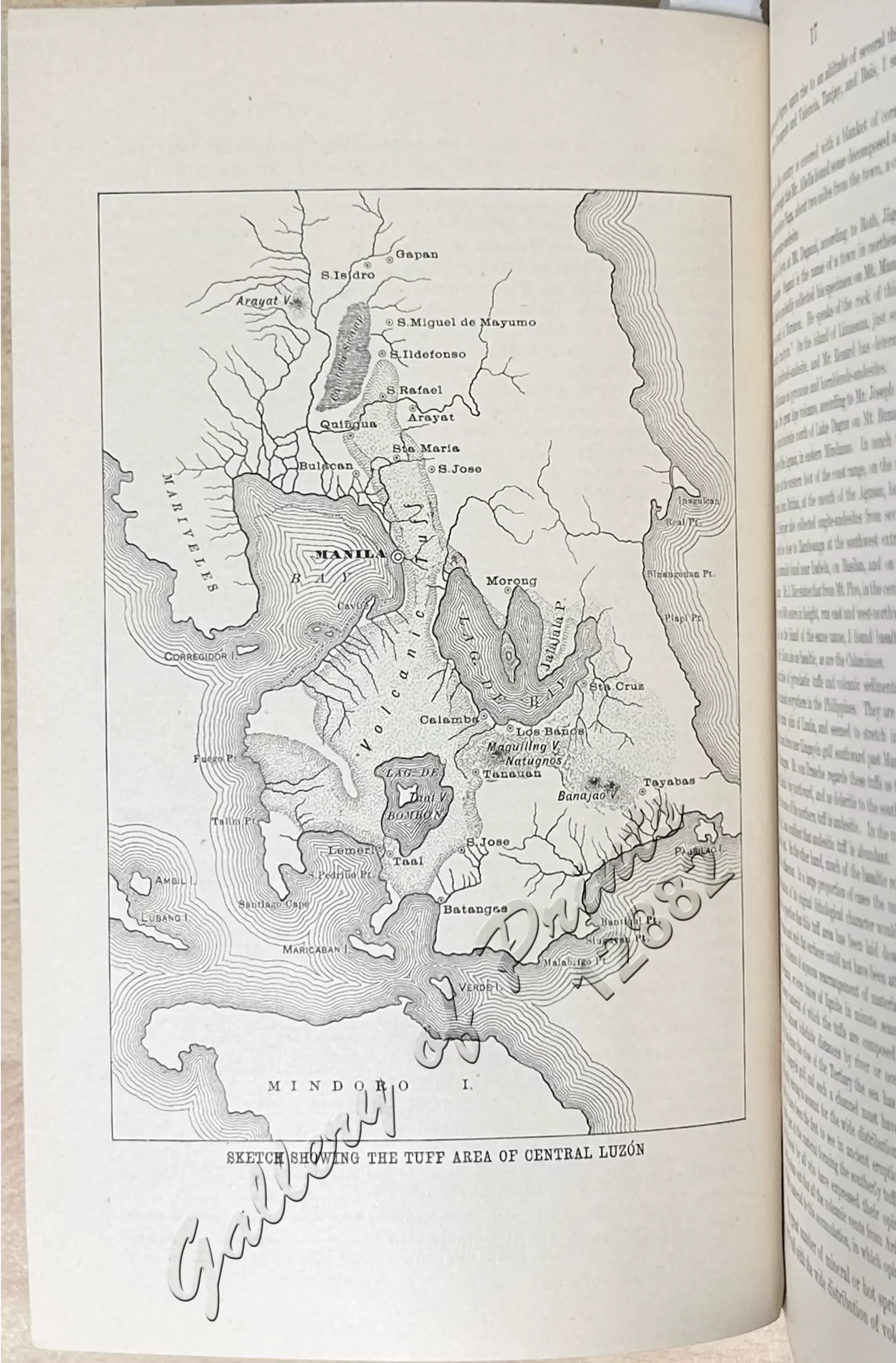
softbound, 80 p., includes 3 maps: “Relative Frequency of the Earthquakes”, “Active and Dormant Volcanoes”, “Sketch Showing the Tuft Area of Central Lúzon”; with 9 other illustrations and 14 tables. Title page with stamp: “Sächs. Meteorologisches Institut”; Front cover features the seal of the US Department of the Philippine Islands.
A seminal seismological and vulcanological monograph of the Philippine Islands, prepared under the direction of the United States Bureau of the Census following the 1903 census. Authored by Fr. Miguel Saderra Masó, S.J., Assistant Director of the Philippine Weather Bureau (Manila Observatory), this publication serves as the definitive baseline study of the region’s tectonic and volcanic activity at the transition from Spanish to American colonial administration. Fr. Saderra Masó, a Spanish Jesuit scientist and scholar, applied decades of localized observatory research to synthesize historical seismic logs dating back to the 16th century. The text provides a geologically rigorous inventory of the archipelago’s active, intermittent, and extinct volcanoes, detailing the structural characteristics and eruption histories of volatile systems like Mayon, Taal, and Bulusan. Additionally, it classifies the islands into distinct seismic zones, maps major fault lines, and analyzes earthquake frequencies and intensity scales. Illustrated with high-quality photographic plates of volcanic landscapes, statistical data tables, and vital color-coded lithographic folding maps tracing the region’s seismic paths.
![Eine Reise um die Erde [A Trip Around the World]](https://www.gop.com.ph/wp-content/uploads/2015/11/jo11938-Wickueler-1912-Eine-Reise-um-die-Erde-front-600x750.webp)