Description
sepia lithograph, publisher’s blind stamp at bottom ‘Gide Editeur, Paris.’ EXTREMELY RARE
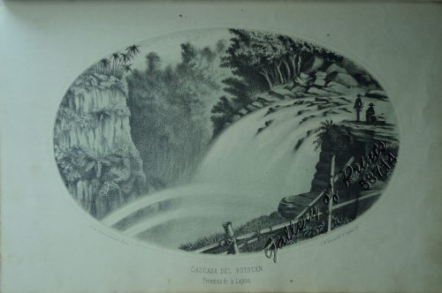
Large stunning view from ‘Voyage au Pôle Sud et dans L’Océanie …l’Astrolabe…Zélée…: Atlas Pittoresque’, pl. 139.
Dumont was a French explorer and naval officer. For thirty-eight months he explored the south and western Pacific including Southern Philippines, Australia, New Zealand, and Antarctica. Several seaweeds, plants, and shrubs are named after him, as well as D’Urville Island.
He made two attempts to reach the Antarctic, first in 1838 and second in 1840. Howego narrated: “in monstrous seas and heavy snowfall, the ships had reached 58 S. Four days later they crossed the 64th parallel, and in the evening were surrounded by fifty-nine great icebergs. Vincendon Dumoulin went aloft and reported what he thought was land straight ahead, but it was not until 21.1.40 that the ships entered a vast basin formed by snow-covered land on one side and floating ice on the other. To confirm that what they could see was land and not just an ice shelf, the French sailed west until bare rock became visible … The tricolor was raised over the islet and the coast christened terre Adélie after D’Urville’s wife Adéle. They cape they had first seen was named Cap de la Découverte, and the point where rock sample had been collected was Pointe Géologie.” (Howgego II, D35)
Between the attempts to reach the antarctic, Dumont explored the Pacific including the Marquesas, Tahiti, Samoa, Tonga, Guam, Fiji, New Guinea, Borneo, New Zealand, Tasmania, and the Northern Territory. For thirty-eight months he explored the south and western Pacific, Australia, New Zealand, and Antarctica.
“The aims of this expedition were to explore the south polar regions and various island groups in the Pacific” (Hill). Sailing in company with the Zélée, “a converted store-ship on 300 tons” (Howgego), the Astrolabe reached the ice pack in January 1838 but failed to penetrate it. Returning eastward, they then visited the South Orkney and South Shetland Islands, and discovered Joinville Island and Louis Philippe Land. Proceeding from Valparaiso and Juan Fernández, the expedition landed at the Marquesas, Tahiti, Samoa, Tonga, Fiji, Guam, and Palau, afterwards coasting along New Guinea and circumnavigating Borneo. In 1840 they returned to the Antarctic via Tasmania, discovering Adélie Land. “An extensive visit was made to New Zealand. The return voyage took them through Torres Strait to Timor, La Réunion, and St. Helena” (Hill).
Dunmore considers Dumont d’Urville to have been without doubt “the man who made the greatest single contribution to the perfecting of the map of the Pacific… a methodical and conscientious sailor, austere and dedicated… admittedly vain and quick to take offence, but kind and with a talent verging on genius.” Dumont’s works are considiere “crown jewels ranking among the finest illustrated works from any voyage of exploration…” (Rosove 105)
Condition
professionally repaired tears, cleaned; some foxing and stains.
---cleaned")