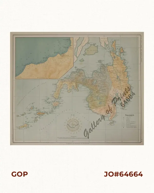
Description
original-colour lithograph with a column listing area and population at right side. verso: Rand McNally Popular Map of Puerto Rico. Vintage map from ‘World Atlas and Gazetteer’, p. 63
published by Rand McNally & Co., Chicago, during WW II.

![Plan du Port de Subec, en I'Isle de Lucon [Plan of The Port of Subic on Luzon Island]](https://www.gop.com.ph/wp-content/uploads/2015/05/JO55439-de-Mannevillete-c1775-Plan-du-Port-de-Subec-600x750.webp)