Description
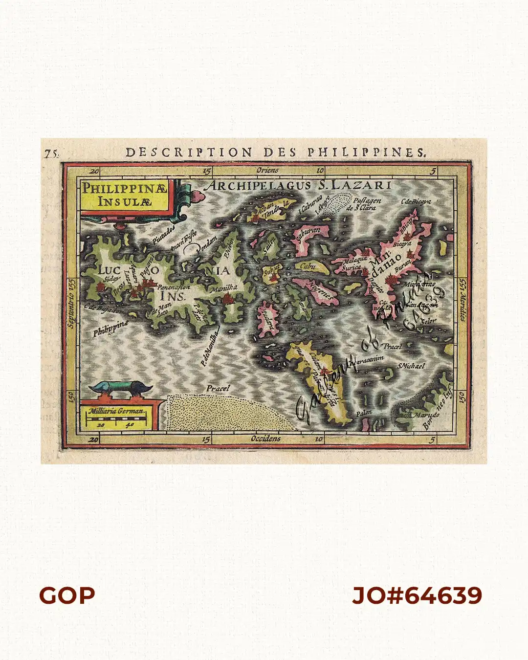
hand-coloured copper engraving. text verso in French: ‘Description des Isles Molucques’.
EXTREMELY RARE map from ‘Tabularum Geographicum’ Chapter: ‘Description des Philippines’, pp.753-754; first French edition. The second version of the oldest map showing the Philippines alone. The Kaerius map was redrawn: Palawan now angled. Essentially taken from Plancius “spice” map of 1592: Insulae Moluccae.
Price upon request