Phone: +63 2 7729 8168 | Mobile: +63 917 806 4291

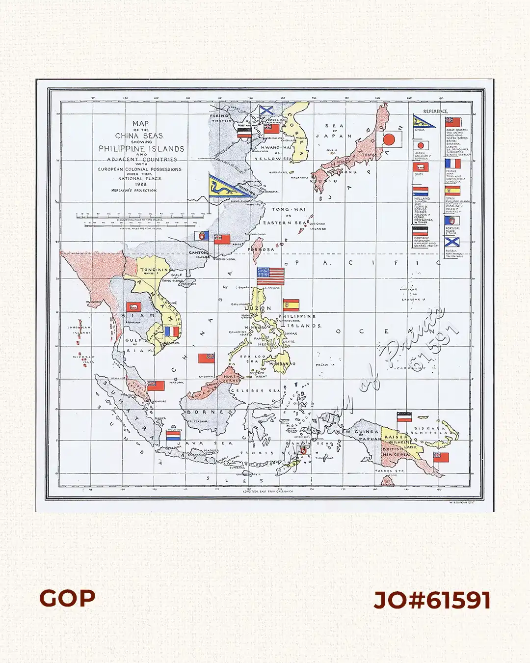
Map of the China Seas showing Philippine Islands and Adjacent Countries with European Colonial Possessions under their National Flags. 1898 Mercator’s Projection

6,600.00

Author: Ogden / W. B. Duncan

Publisher: Harper & Brothers, New York.

Year: 1900

Size: 21.5 x 21.6 cm

1 in stock

SKU: 61591 Category:

Description

original-colour photo lithograph map.

Condition

very good to excellent condition.

Shopping cart0
There are no products in the cart!
Continue shopping
0