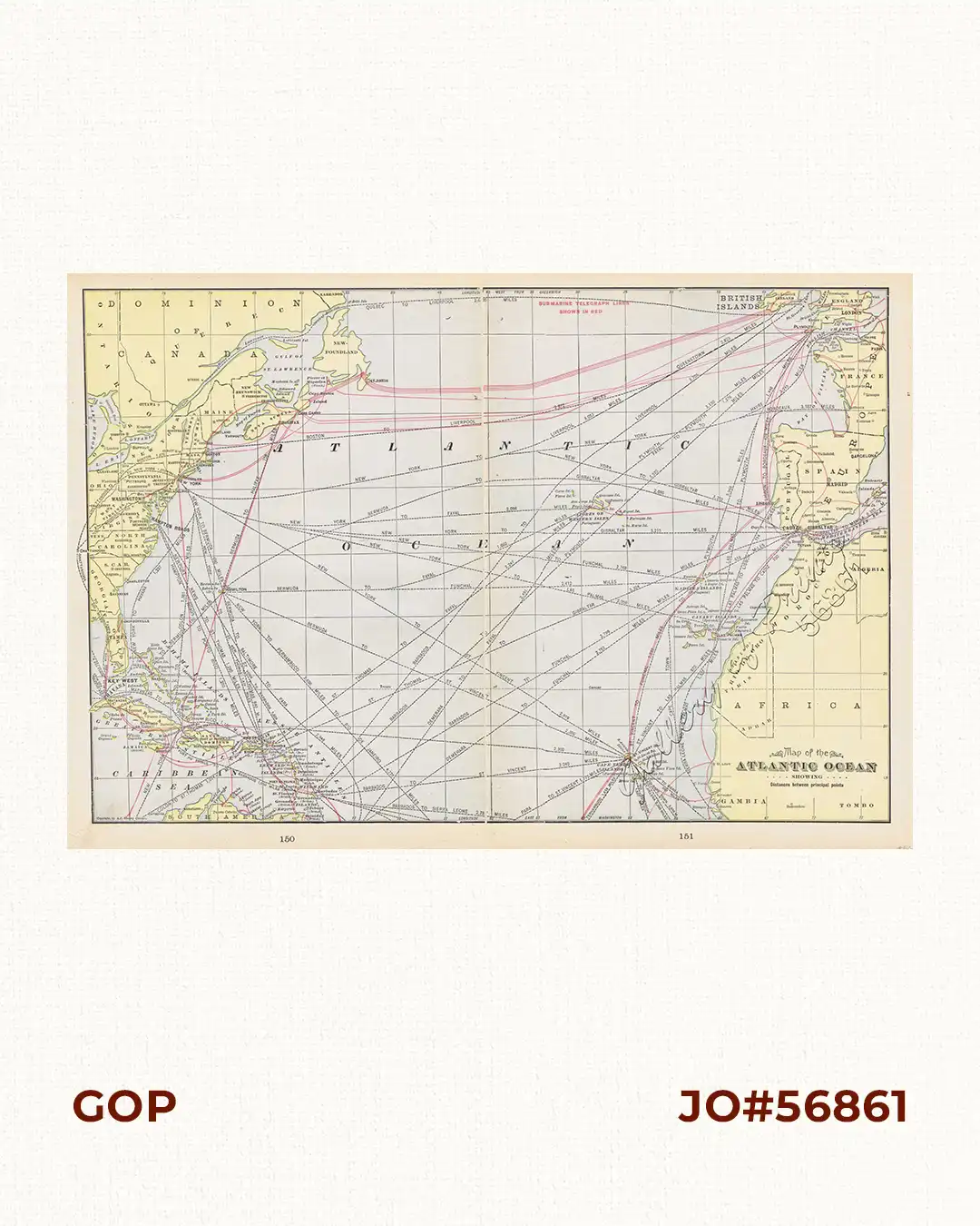
Description
original-colour lithograph double-page map from “Pictorial Atlas Illustrating the Spanish-American War.”, p. 150-151.
₱3,300.00
Author: F. Cram
Publisher: George F. Cram, New York and Chicago.
Year: 1898
Size: 33.5 x 49.8 cm
1 in stock
original-colour lithograph double-page map from “Pictorial Atlas Illustrating the Spanish-American War.”, p. 150-151.
Very good to excellent condition.
![Islas de Infanta y Polillo pl. 12 [Quezon Prov., Polilio Is., Pananongan I., Jomalig I.]](https://www.gop.com.ph/wp-content/uploads/2023/08/JO62585-Algue-1900-Quezon-Province-Polilo-Jomalig-Patnanongan-scaled-1-600x750.webp)