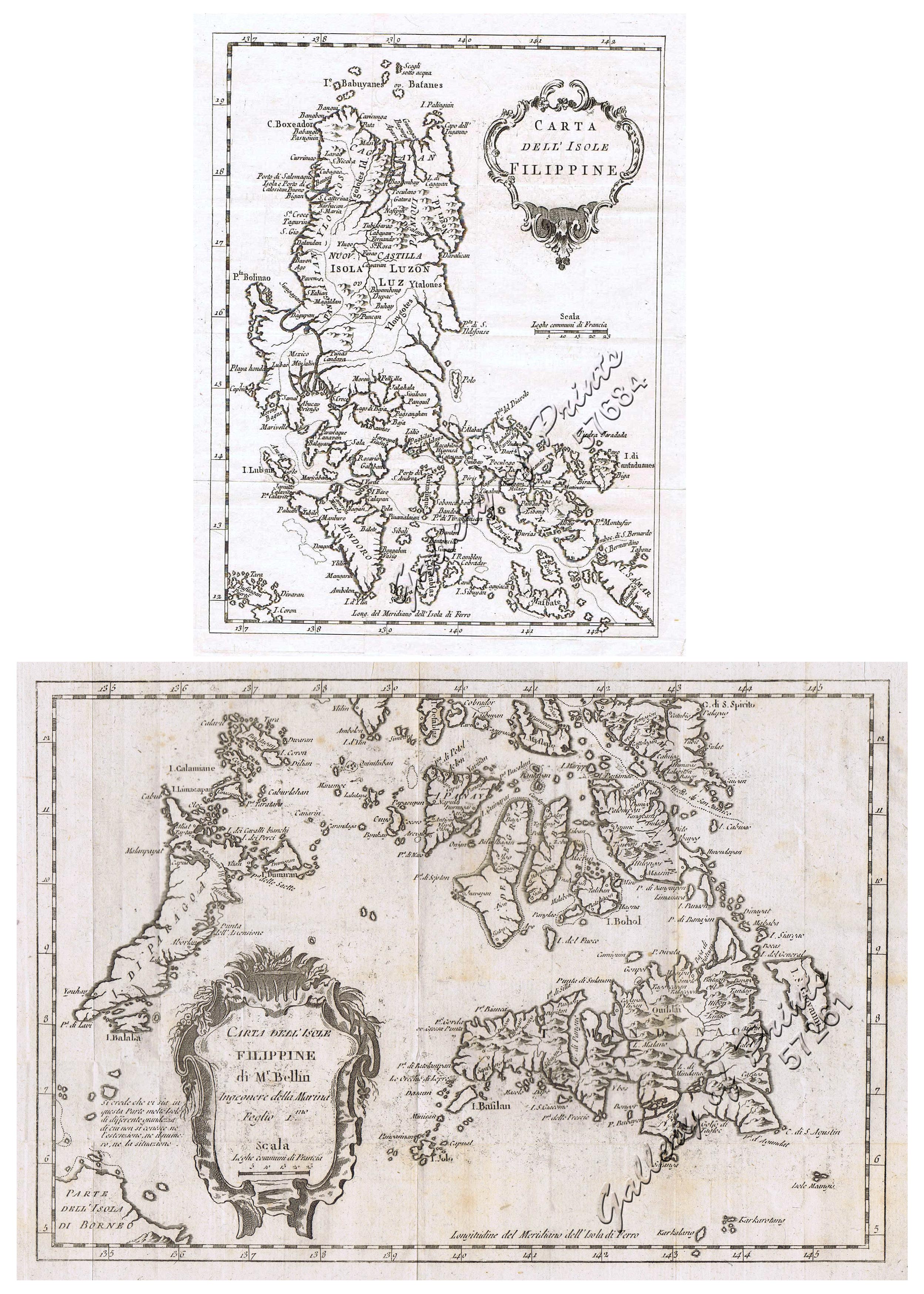
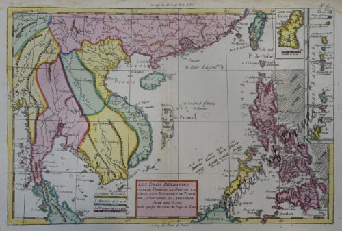
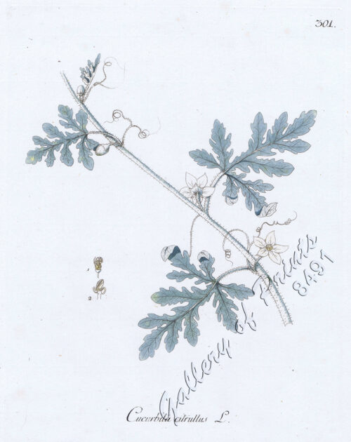
1) Carta dell’Isole Filippine [1st sheet]. 2) Carta dell’Isole Filippine di Mr. Bellin Ingegnere della Marine Foglio 1 mo [2nd sheet]
₱61,600.00
In Stock
In Stock
Author: Jacques Nicolas Bellin / Vincenzo Formaleoni
Publisher: Vincenzo Formaleoni, Venezia.
Year: 1781
Size: 1) 20.5 x 15.4 cm, 2) 20.5 x 29.5 cm
Reference: Quirino p. 91 (but French edition)
Description
Map of the rare Italian Bellin edition, 8vo, translated from the original French ed. of ‘Histoire Generale des Voyages’, published by Prevost; based on Father Murillo de Velarde’s map, the ‘Queen of all Philippine Maps’. Nicolas Bellin (1703-1772) was one of the most important and proficient French cartographers of the mid-eighteenth century. He was appointed the first Ingenieur Hydrographe de la Marine, and also Official Hydrographer to the French king. Bellin produced a substantial number of important separately issued maps, particularly reflecting continuing discoveries and political events in the Americas.

