![The Molucca Ilands & C. [The Molucca Islands]](https://www.gop.com.ph/wp-content/uploads/2020/08/jo63066-Morden-c1688-The-Molucca-Ilands.webp)
Description
hand-coloured outline copper engraving.
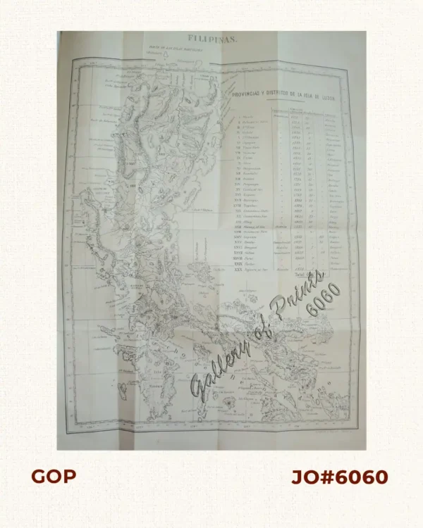
EXTREMELY RARE; Unusual map from ‘Geography Rectified: or a Description of the World, in all its Kingdoms, Provinces, Countries…’; 2nd edition. pp. 437/438
Showing the eastern part of Indonesia with the Spice Islands, the island of New Guinea and the north coast of Australia. The first edition of 1680 has no longitude degrees mentioned;
2nd edition 1688 (without page no. 46), 3rd edition 1693 (with page no. 46), fourth edition 1700 and later.
Englishman Morden (1668-1703) was a cartographer and maker of instruments & globes, most famous for his English country maps, his geography texts, and his wall maps.
Little is known about his early life, although he was most likely an apprentice of Joseph Moxon. By 1671, Morden was working from the sign of the Atlas on Cornhill, the same address out of which Moxon had previously worked.
![Plan du Port de Subec, en I'Isle de Lucon [Plan of The Port of Subic on Luzon Island]](https://www.gop.com.ph/wp-content/uploads/2015/05/JO55439-de-Mannevillete-c1775-Plan-du-Port-de-Subec-600x750.webp)