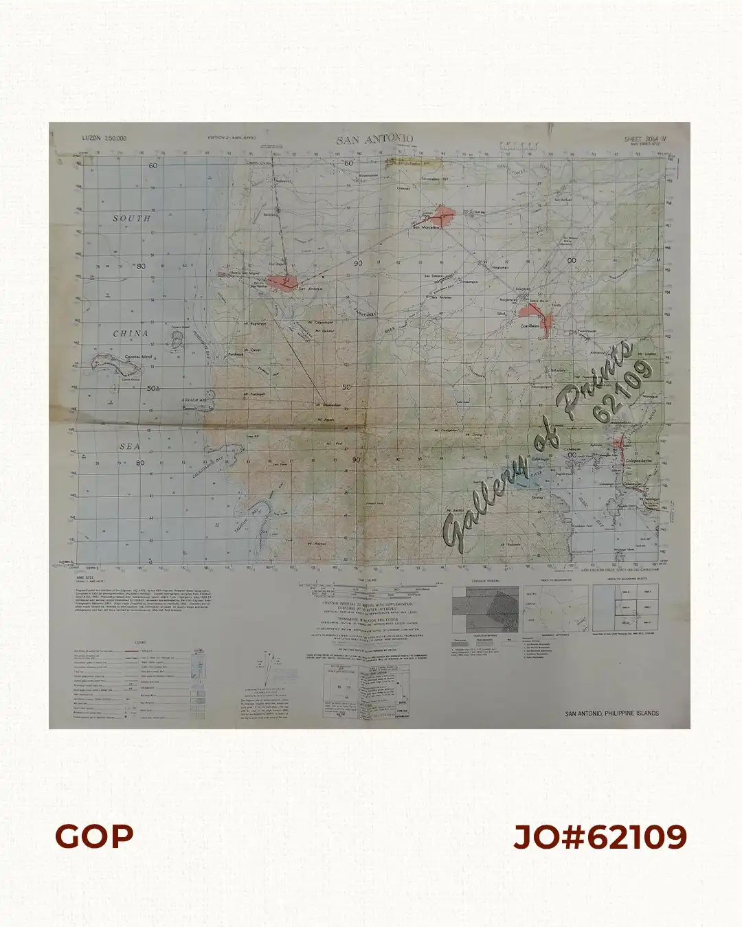
Description
original-colour lithograph.
US Army Service Map from 1952 Korean War Era, San Antonio, Philippine Islands, includes Subic Bay.
Sheet 3064 IV. AMS Series S711, published by Army Map Service, Washington, D.C.
“Prepared under the direction of Engineer, HQ, AFFE, by the 64th Engineer Battalion (Base Topographic). Compiled in 1952 by photogrammetric (multiplex) methods. Coastal hydrography compiled from USC&GS Chart 4211, 1951. Planimetry revised and miscellaneous detail added from intelligence data, 1950-53. Horizontal and vertical control estabilished by USC&GS, recovered and extended by the 29th Engineer Base Topographic Battalion, 1951. Major Roads should be referred to with caution, the information is based on source maps and aerial photography and has not been verified by reconnaissance. Map not field checked”.

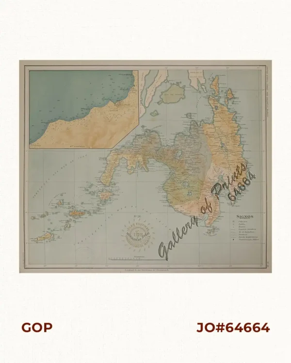
![Plan du Port de Subec, en I'Isle de Lucon [Plan of The Port of Subic on Luzon Island]](https://www.gop.com.ph/wp-content/uploads/2015/05/JO55439-de-Mannevillete-c1775-Plan-du-Port-de-Subec-600x750.webp)