Description
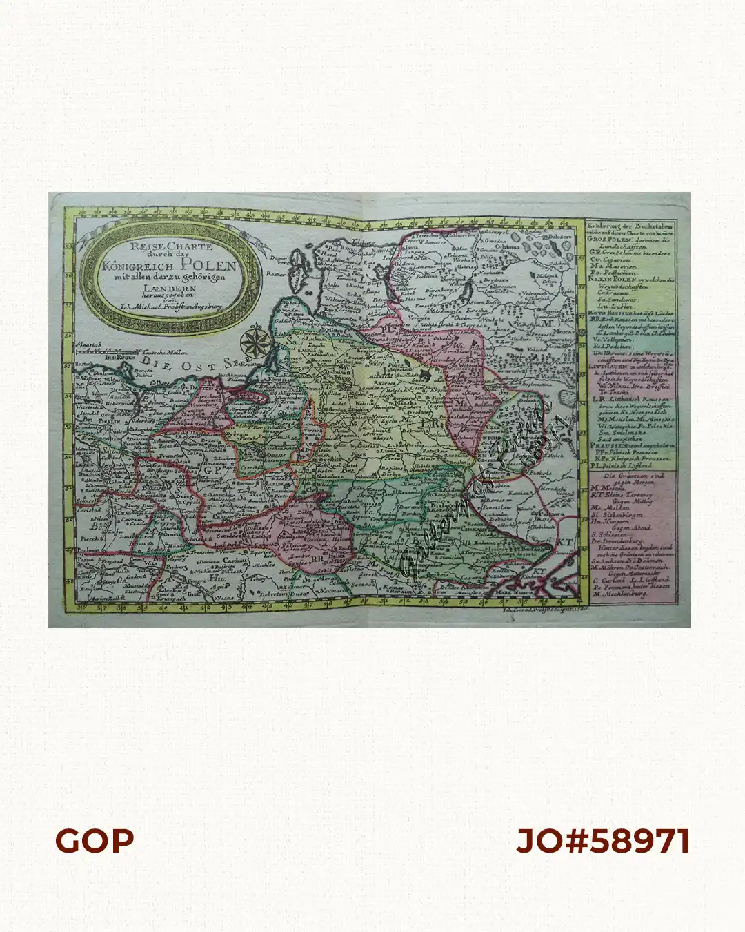
RARE original hand-colour copper engraving, double-page chart map of Poland with oval cartouche, an explanatory text and directory on the right of the map, from the “Atlas Minor ex Tabulis Geographicis…” [without plate no.]. Map engraved in 1786 as shown in lower right.

![Islas de Infanta y Polillo pl. 12 [Quezon Prov., Polilio Is., Pananongan I., Jomalig I.]](https://www.gop.com.ph/wp-content/uploads/2023/08/JO62585-Algue-1900-Quezon-Province-Polilo-Jomalig-Patnanongan-scaled-1-600x750.webp)