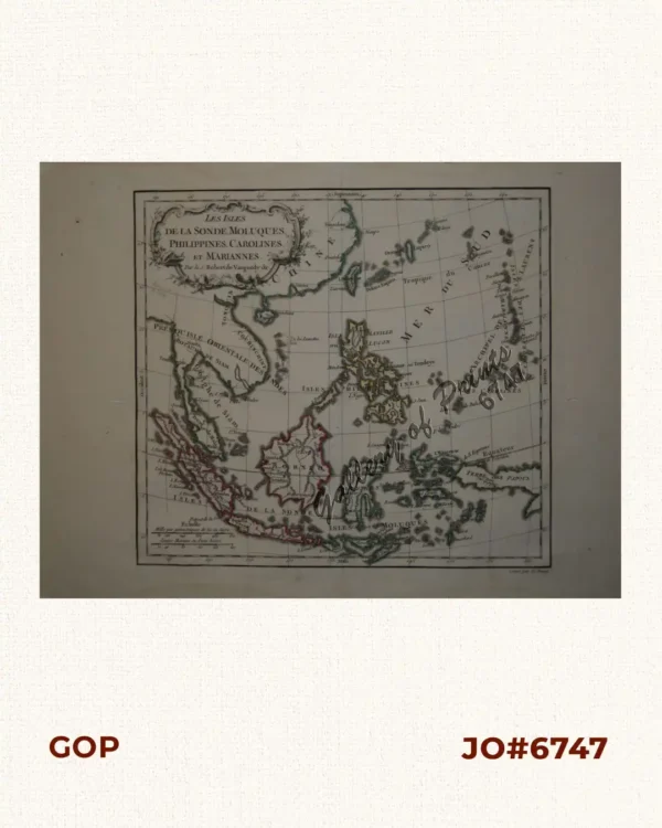
Description
original-colour lithograph.
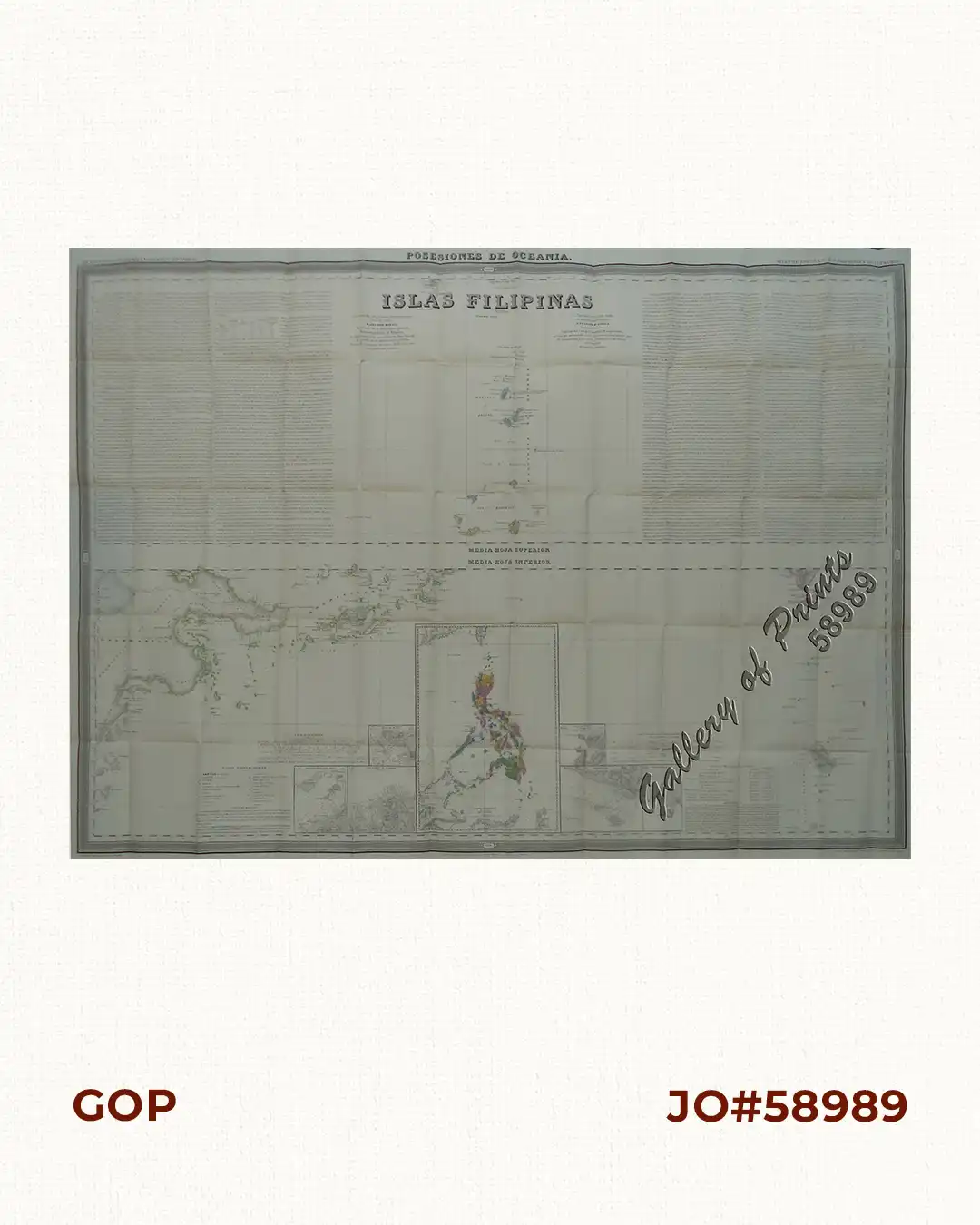
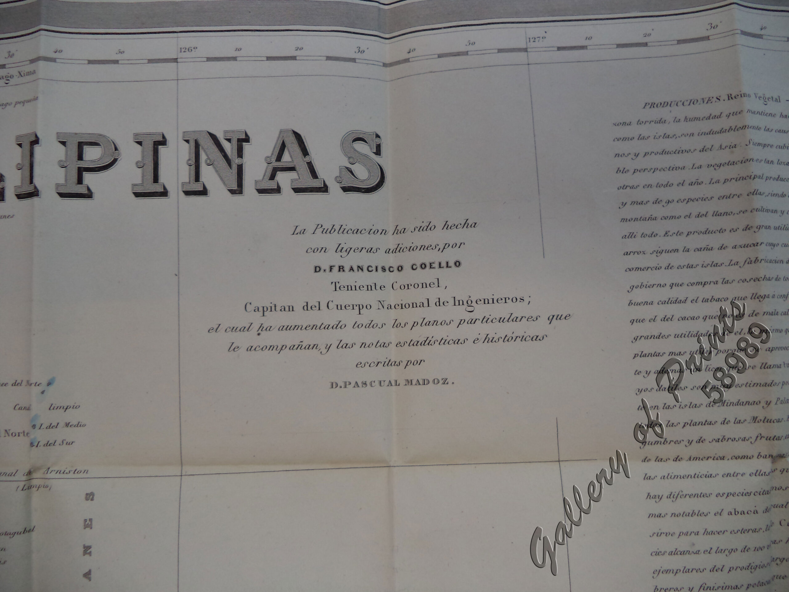
“Single Sheet: Islas Filipinas Posesiones de Oceania.
[1]Media Hoja Superior. – [Batanes Islands, between Luzon and Taiwan] [N-most]
[5] Media Hoya Inferior (1852). Tawi-Tawi Islands] [Southern-most] with several small insets including one of the complete Philippines. An Essay on the historical geography of the Philippines, written by Pascual Madox, runs along both sides of this sheet.
Francisco Coello de Portugal y Quesada (1822-1898), was one of the most important 19th C. Spanish cartographers. With geographer Antonio Morata, he created this most important and first accurate, modern, and complete topographical 19th C. map of the Philippines, based on scientific surveys by Bauzá and others from 1792 onwards. – A must in any serious Philippine map collection.
The work is part of Coello’s unfinished mapping project, the ‘Atlas de España y sus posesiones de Ultramar’ as part of the ‘Diccionario geográfico-estadístico-histórico’, published in Madrid.
Coello’s work was the basis for many other maps by several cartographers and voyagers and was extensively used by all protagonists during the Spanish-American War (1898) and the Philippine-American War (1899-1902).