Description
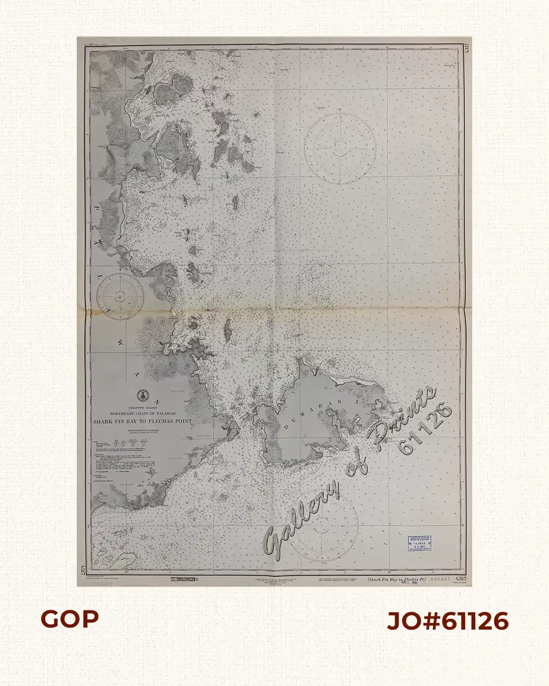
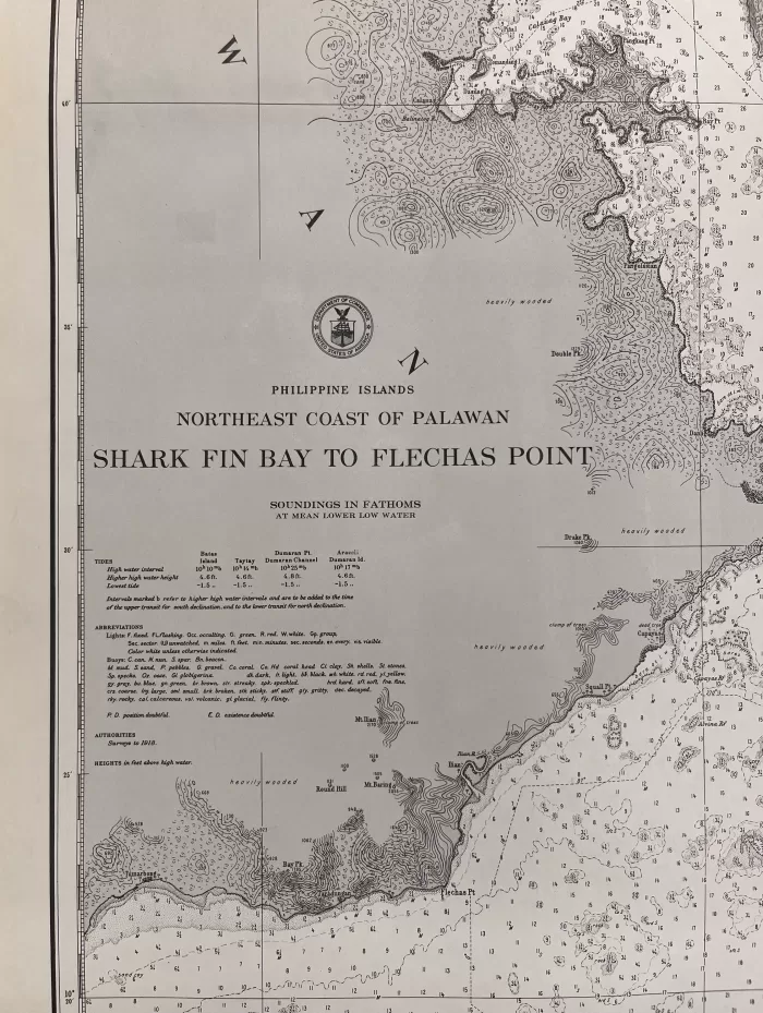
RARE collectible 1942 World War II lithograph map #4317, seachart published at Washington, D.C. Apr. 1918, reissued at Manila, P.I. Nov. 1929 by the U.S. Coast and Geodetic Survey, Reissued at Washington, D.C. June 1942, L. O. Colbert, Director.
with stamp dated Aug 4 1945.
Corrected through Notice to Mariners No. 4 Jan 26 1952, U.S. Navy Hydrographic Office.
with “18 -4/29, 23-7/6, 29- 11/25, 37-11/5, Special Printing at Wash. D. C (reprint 42-6/26); 43-8/27”
![Plan du Port de Subec, en I'Isle de Lucon [Plan of The Port of Subic on Luzon Island]](https://www.gop.com.ph/wp-content/uploads/2015/05/JO55439-de-Mannevillete-c1775-Plan-du-Port-de-Subec-600x750.webp)