Phone: +63 2 7729 8168 | Mobile: +63 917 806 4291

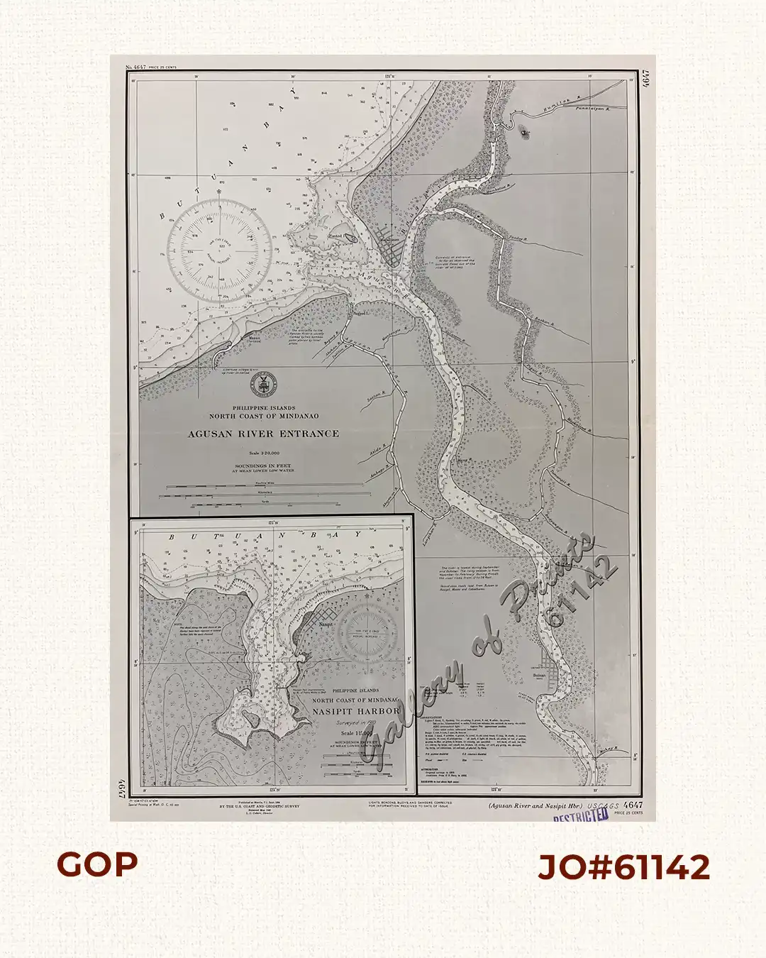
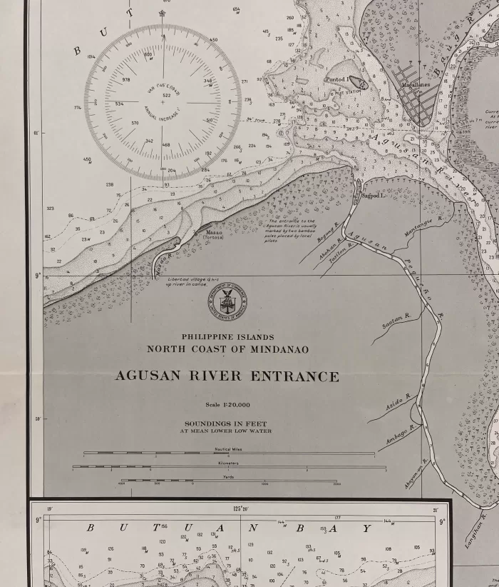
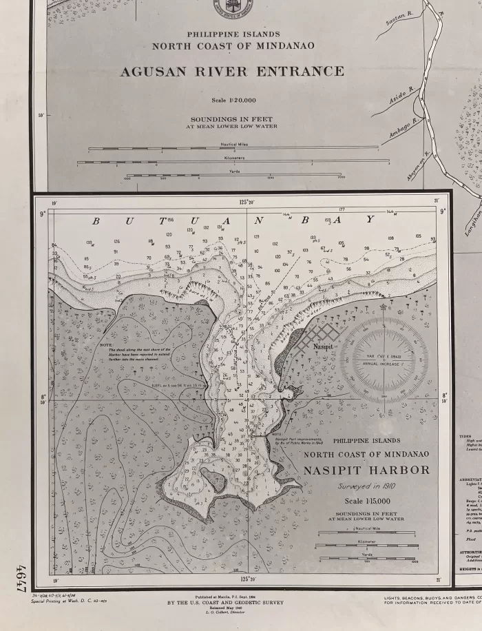
Philippine Islands North Coast of Mindanao Agusan River Entrance inset: Nasipit Harbor

11,000.00

Author: U. S. Coast and Geodetic Survey [U.S.C. & G.S.]

Publisher: U.S. Coast and Geodetic Survey, Washington, D.C.

Year: 1940 [1934]

Size: 69 x 48.2 cm [inset: 26.3 x 27.2 cm]

1 in stock

SKU: 61142 Category: Tags: , , ,

Description

RARE collectible 1940 World War II lithograph map #4647, seachart published at Manila, P.I. Sept. 1934 by the U.S. Coast and Geodetic Survey, Reissued May 1940, L.O. Colbert, Director.
with stamp “restricted”
with “34-9/28, 40-5/3, 41-6/26, Special Printing at Wash. D. C. (reprint 42-10/31)”
Condition

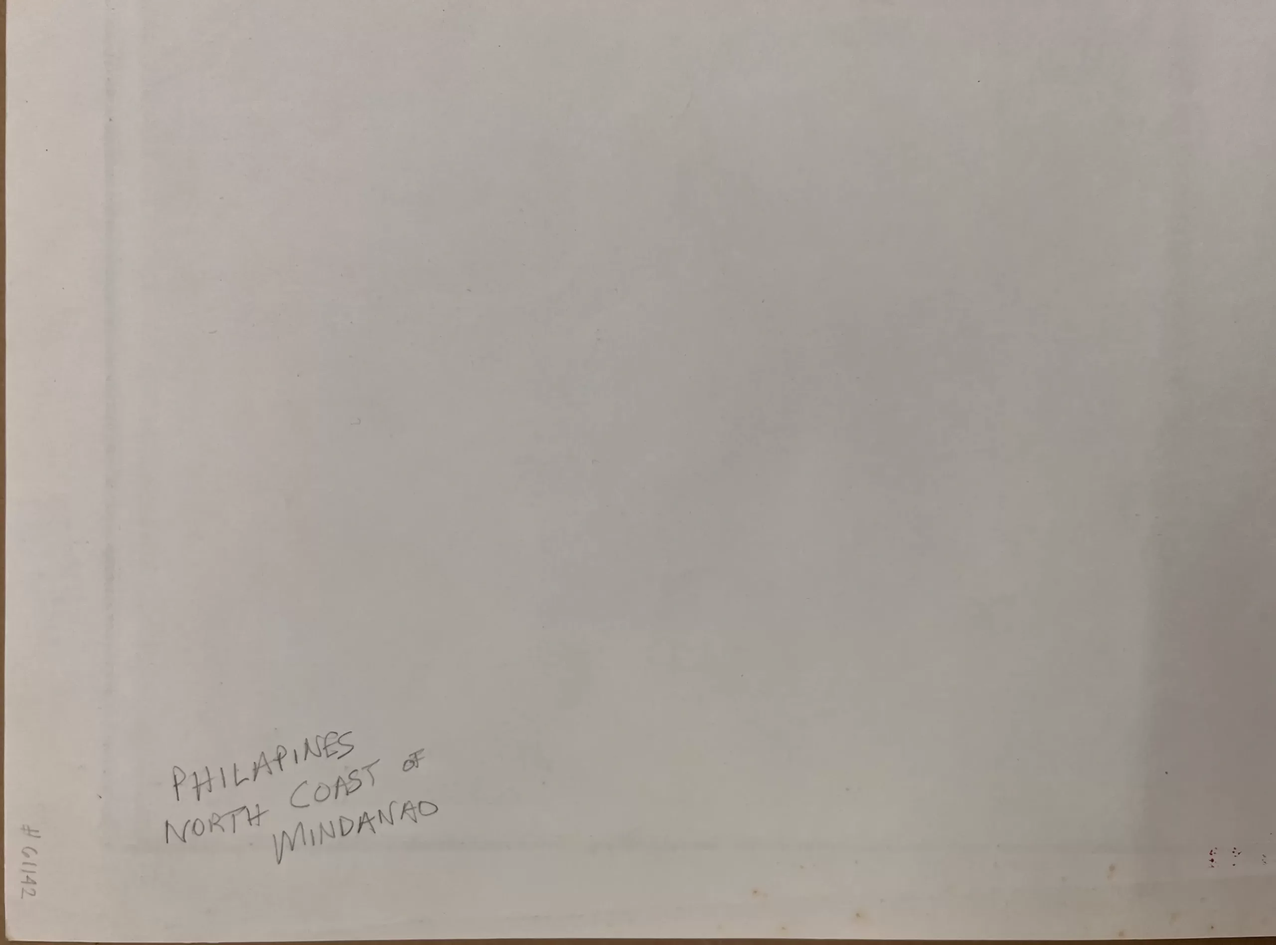
with folds as issued, with hand-written title “Philapines North Coast of Mindanao” on verso, very good condition.

Shopping cart0
There are no products in the cart!
Continue shopping
0